
DAVIS LAKE CAMPGROUND
Campground · Fee
Fast facts
- Cost
- Fee charged
- Type
- Campground
- Phone
- 662-285-3264
- Coordinates
- 34.0472, -88.9389
- Last verified
- September 19, 2026




About this place
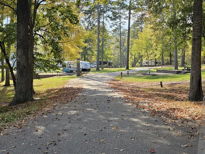
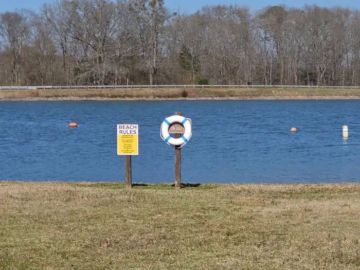
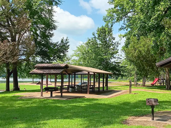
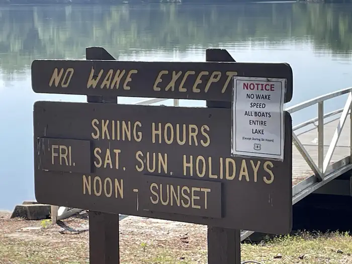
Overview Davis Lake Recreation Area is home to beautiful Davis Lake, Campground and Day Use Area, popular for all kinds of recreational opportunities, including swimming, fishing, boating, birding and wildlife viewing. The surrounding scenic forests make Davis Lake a picturesque place to spend quality time outdoors. Recreation Davis Lake covers 200 acres and provides multiple recreational opportunities. A grassy swimming beach is situated on the shore, where many anglers cast for largemouth bass, hybrid striped bass, crappie, catfish and bream. The campground has 27 sites on the lake, many of them with space to anchor a boat. A 2-mile trail wanders along the north edge of the lake to several earthen fishing piers. Visitors can also spend time birding, watching for a variety of geese and ducks that migrate through the area. Hawks, herons, bluebirds and doves are also plentiful, among many other species. Wildlife viewing is also available, as foxes and bobcats call the area home. The Chickasaw OHV Trail is a newly renovated 12-mile motorized trail that is within three miles of the campground. The trailhead lies between the Davis Lake recreation area and the Natchez Trace Parkway. It is within a mile of the Owl Creek Mounds archaeological interpretive site. The OHV trail is open between April 1 and Oct. 31. The trail accommodates off-road vehicles 48-inches in width or less. Cyclists and hikers will enjoy the Tanglefoot Trail . This multiple-use Rails-to-Trails path is located 5 miles west of Davis Lake. It runs 43.5 miles from Houston to New Albany, MS through Houlka, Algoma, Pontotoc, Ecru, and Ingomar. Facilities The recreation area offers more than two dozen campsites, a picnic area, a group shelter, accessible flush toilet facilities and a dump station. Davis Lake has multiple fishing docks, including some that are accessible. Campsites are equipped with tables, lantern posts and campfire rings with grills. Drinking water is provided. Campsites have electric and water hook ups. There are no sites with sewage hook up; however, there is a dump station located near the front entrance. A picnic shelter can also be reserved on-site, for an additional $40 per day fee. Natural Features The campground is situated in a hilly, mixed hardwood and pine forest that stretches along the eastern shore of the lake. It is located within 4 miles of the Natchez Trace Parkway, a 444-mile drive through exceptional scenery and 10,000 years of North American history. Contact Info This location is unstaffed. To speak with our main office for general information, please call: (662) 285-3264. Nearby Attractions The recreation area is located 21 miles south of Tupelo, Mississippi, and 12 miles north of Houston. The Owl Creek Mounds, an archaeological interpretive site containing Native American ruins, is located half a mile south on the paved road (heading towards the Natchez Trace exit). The Witchdance Horsetrail is an 18-mile horseback riding trail that can be accessed from both the Payamatha Trailhead (on Highway 32, west of the Natchez Trace and east of Highway 15), or the Witchdance trailhead, that lies on the Natchez Trace Parkway (approximately 5 miles east of Houston). Charges & Cancellations Cancellations may occur during severe weather events.
From the managing agency.
Is DAVIS LAKE CAMPGROUND free?
No. DAVIS LAKE CAMPGROUND charges a fee.
How do I get to DAVIS LAKE CAMPGROUND?
DAVIS LAKE CAMPGROUND is at 34.0472, -88.9389. We do not hold written directions for this one, so navigate to the coordinates.
Nearby
- Davis Lake Recreation Area0.1 mi
- Amory Boat Ramp Picnic Shelter26.8 mi
- BLUE BLUFF CAMPGROUND (ABERDEEN MS)27.2 mi
- Blue Bluff Picnic Area (Aberdeen Lake)27.6 mi
- Cherokee Picnic Shelter34.3 mi
- Whitten Park Picnic Shelters34.3 mi
- WHITTEN PARK34.3 mi
- Puskus Lake Recreation Area35.6 mi
No other services within 50 mi on the record.
SourceSource data is agency published. Last synced September 19, 2026. Community reports and photos are submitted by travelers and are not verified by the agency.
