
RED BLUFF CAMPGROUND
USFS · Campground · Fee
Fast facts
- Cost
- Fee charged
- Managed by
- USFS
- Type
- Campground
- Hours
- Quiet hours are 10:00 p.m. until 6:00 a.m.
- Reservations
- fs.usda.gov
- Phone
- 573-743-6042
- Coordinates
- 37.8164, -91.1664
- Last verified
- September 19, 2026



About this place
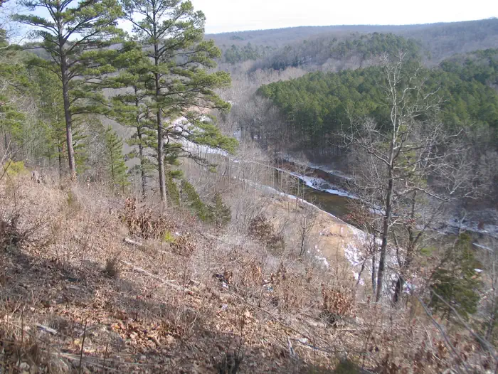
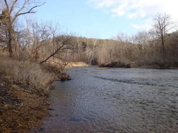
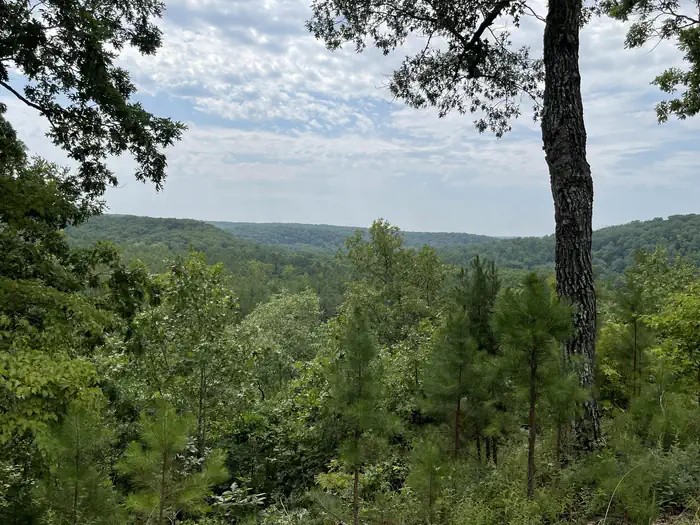
Overview Red Bluff Campground is named for towering red bluffs along Huzzah Creek, carved by the elements over the past 10,000 years. The area used to be home to timber mills, but now provides a serene spot for camping and enjoying nature. Early settlement of the area surrounded the Boyer Mill constructed around 1830. Railroads created a thriving timber industry till the supply was depleted. The land was purchased by the U.S. Forest Service in 1940 and has been used as a recreation area. Red Bluff is located in the Potosi-Fredericktown Ranger District of the Mark Twain National Forest. Large, red bluffs on the opposite side of Huzzah Creek, gravel bars along the creek, a mixture of pools and riffles and natural vegetation provide a backdrop for a very relaxing camping experience. Wading and swimming in Huzzah Creek are enjoyed by visitors. The water can be swift-moving at times and rocks and drop-offs are not marked. Fishing is also popular in the area and anglers can expect to find bass, sunfish, suckers, and catfish. Three new camping loops were constructed above the Huzzah Creek floodplain – Ridge Top Loop, Creek Loop, and Group Loop - each of which have modern restrooms, water, and electricity on 2023. A new shower house, a dump station, and second pavilion were also added for visitor convenience. Camping spurs are variable in size and layout to accommodate recreational vehicles and trailers of all types. A fourth camping loop, Pines Overlook, was renovated but remains a non-electric loop. Recreation Many sites are within 200 yards of Huzzah Creek, where tubing and swimming are enjoyed by visitors. The water can be swift-moving at times and rocks and drop-offs are not marked. Fishing is also popular in the area and anglers can expect to find bass, perch and catfish. The Red Bluff Trail lies within the boundaries of the campground. It is a 1.2-mile loop that winds through a pine plantation and big oak timber, into an adjoining hollow before returning to the campground. The short trail provides an opportunity for visitors to enjoy a variety of ecological communities, while reaping the benefits of a half-hour of hiking. Facilities The campground offers several large sites available for tent and RV camping. All campground loops offer 30 amp & 50 amp pedestals, except for Pines Overlook (PO). Individual picnic sites are available as well, some of which have shelters. Two accessible group picnic shelters can be reserved and can accommodate up to 74 people (PAV 1 has electric and lighting). Additional sites are available on a first-come, first-served basis. Each site is equipped with a picnic table, lantern post and campfire ring with grill. Vault toilets, flush toilets, showers and drinking water are provided. The roads within the campground are paved. Natural Features Large, red bluffs on the opposite side of Huzzah Creek, gravel bars along the creek, a mixture of pools and riffles and natural vegetation provide a backdrop for a very relaxing camping experience at the campground. Red Bluff is located in the Potosi-Fredericktown Ranger District of the Mark Twain National Forest. Nearby Attractions This campground is located in southeastern Missouri, approximately one mile from the town of Davisville.
From the USFS.
Is RED BLUFF CAMPGROUND free?
No. RED BLUFF CAMPGROUND charges a fee. It is managed by the USFS. Sites are reservable through fs.usda.gov.
How do I get to RED BLUFF CAMPGROUND?
From St. Louis, Missouri, take I-44 west to Cuba. Continue on Highway 19 south to Cherryville. Take 49 south to Highway V, turn left to Davisville and travel approximately 1 mile and turn left into the campground.
Nearby
- Hazel Creek Campground8.4 mi
- Berryman Campground9.6 mi
- Council Bluff (wild Boar) Campground14.1 mi
- COUNCIL BLUFF RECREATION AREA14.4 mi
- Cook Spring23.4 mi
- SUTTON BLUFF RECREATION AREA25.0 mi
- Sutton Bluff Campground25.1 mi
- Loggers Lake Campground30.0 mi
No other services within 50 mi on the record.
SourceData from the USFS. Last synced September 19, 2026. Community reports and photos are submitted by travelers and are not verified by the agency.
