
DEER LAKE
USFS · Campground · Fee
Fast facts
- Cost
- Fee charged
- Managed by
- USFS
- Type
- Campground
- Reservations
- recreation.gov
- Phone
- 218-246-2123
- Coordinates
- 47.5142, -94.1058
- Last verified
- September 19, 2026

About this place
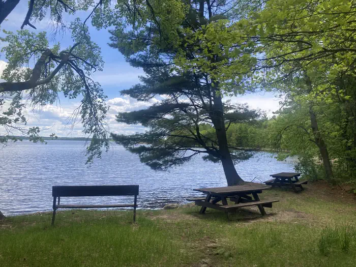
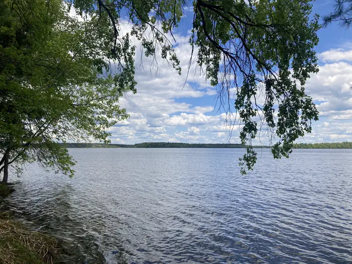
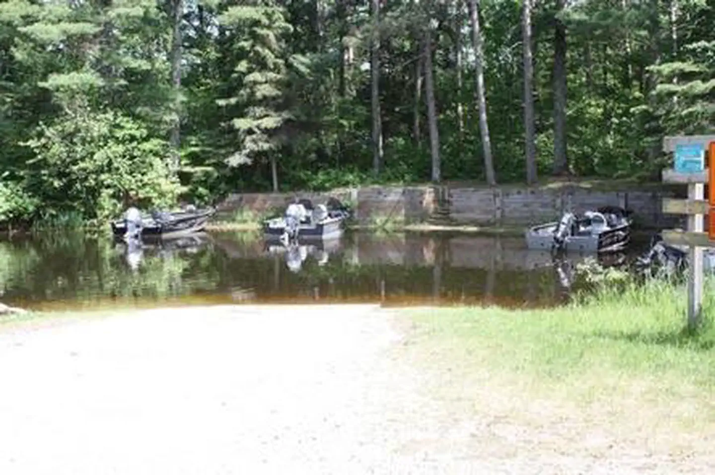
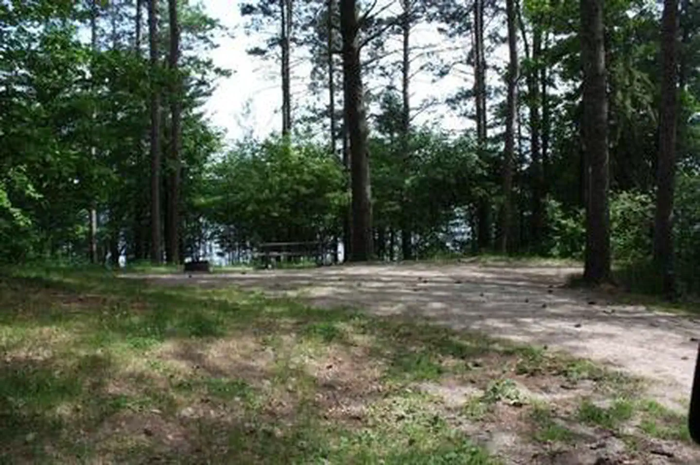
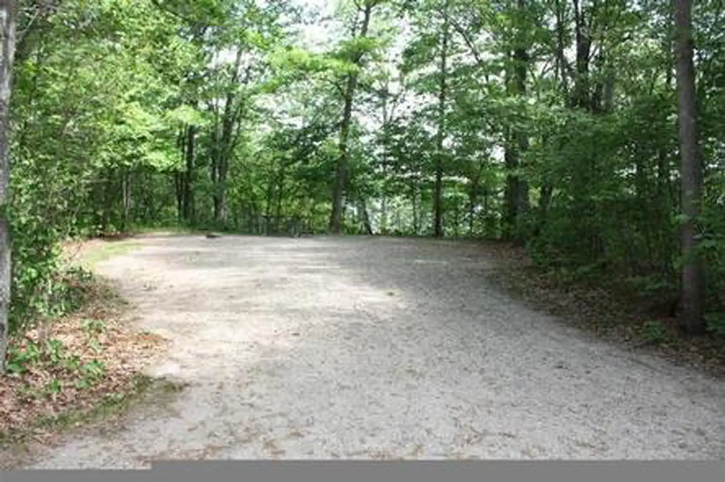
Overview Deer Lake campground is located on the west shore of Cut Foot Sioux Lake, next to Lake Winnibigoshish, and is split into two separate loops. North Deer Lake campground has 17 sites; South Deer Lake has 31 campsites. A boat ramp is centrally located between the loops and provides lake access via Biauswah Creek. Visitors come to the area for boating, walleye, northern, sunfish, and crappie fishing, and beautiful scenery. The 26-mile Cut Foot Sioux National Recreation Trail runs through the Deer Lake campgrounds and is designated for hiking, horseback riding, and mountain biking. The Chippewa National Forest and the Leech Lake Band of Ojibwe work together to co-steward resources - making the Forest a great place to recreate as well as a special place where cultural and traditional resources are protected and preserved and the Band’s treaty rights are respected. Recreation Boating, swimming, and fishing are popular activities on Cut Foot Sioux Lake. A boat ramp is centrally located between the campground's two loops and provides lake access via Biauswah Creek. A large swimming beach is located at the North Deer Loop and a smaller beach is located at South Deer Loop. Boats may be moored offshore. Miles of trails in the area provide great hiking, horseback riding, mountain biking, and birding opportunities. The 26-mile Cut Foot Sioux National RecreationTrail runs through the campground and connects with the Simpson Creek Trail. Off-highway vehicles, including ATVs and UTVs, may be brought to the campground. However, OHVs must be trailered to roads legal for riding outside the campground. OHV use is not permitted on Eagle Nest Road. Cut Foot Sioux Lake is located next to Lake Winnibigoshish, which can be accessed from Cut Foot Sioux. Lake Winnie offers excellent fishing opportunities for walleye, northern, panfish, and muskie. It is one of Minnesota's premier fisheries. Boating and water skiing are popular activities. Facilities The campground offers several single-unit campsites, each equipped with a picnic table and campfire ring. Vault toilets and handpumps for drinking water are provided. There are no electric hook ups in the campground. Firewood is available from local vendors. Natural Features A sandy swimming beach is located at North Deer Lake campground. North Deer Loop is covered by a hardwood forest of maple and oak, with some mature pine trees scattered throughout the site. South Deer Loop is forested with mature red and white pines. The Cut Foot Sioux area is home to a variety of waterfowl and birds of prey, including loons, osprey, and bald eagles. The much larger Lake Winnibigoshish is accessible by boat and within sight of these two campgrounds. Nearby Attractions Down the road, East Seelye Bay offers a large picnic area, boat landing with dock and a swimming beach.
From the USFS.Official page
Is DEER LAKE free?
No. DEER LAKE charges a fee. It is managed by the USFS. Sites are reservable through recreation.gov.
How do I get to DEER LAKE?
From Deer River, turn right on Hwy 46 west of town, travel 18 miles to Eagle Nest Road, go 2.9 miles on gravel road to campground.
Nearby
- East Seelye Bay0.9 mi
- East Seelye Bay Campground0.9 mi
- WILLIAMS NARROWS2.1 mi
- MOSOMO POINT2.7 mi
- ONEGUME2.9 mi
- CUT FOOT HORSE CAMPGROUND3.2 mi
- CUT FOOT HORSE CAMPGROUND3.6 mi
- Tamarack Point Campground4.9 mi
No other services within 50 mi on the record.
SourceData from the USFS. Last synced September 19, 2026. Community reports and photos are submitted by travelers and are not verified by the agency.
