
CROSS LAKE DAY USE
Campground · Fee not listed
Fast facts
- Cost
- Not listed. Check locally.
- Type
- Campground
- Phone
- 651-290-5793
- Coordinates
- 46.6697, -94.1083
- Last verified
- September 19, 2026
About this place
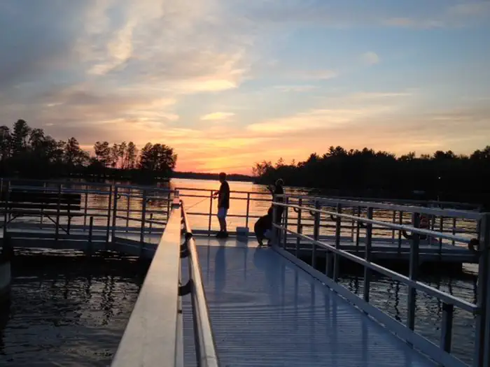
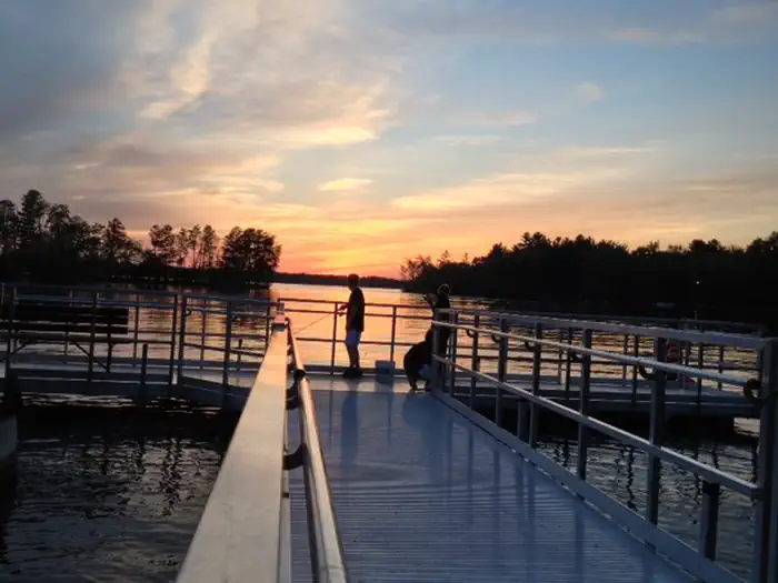
Overview In Central Minnesota's popular lakes area, the Cross Lake Day Use has tremendous appeal for families and friends, with an array of activities and facilities perfect for a day outdoors. Recreation Swim or sunbathe at the beach, enjoy a meal at one of the numerous picnic sites, or for larger groups, reserve one of two group picnic shelters. Shore fishing is popular both upstream and downstream of the dam on accessible fishing piers, and canoe access is available for exploring the Pine River downstream of the dam. Facilities The area offers two group picnic shelters. The #1 shelter is located upstream of the dam and is smaller than the #2 shelter which is located downstream of the dam, along the Pine River. Canoe access is available along both shores of the Pine River downstream from the dam. A swimming beach and two accessible fishing piers are available within a short walk of the parking area. Other facilities include a playground, restrooms and parking facilities for up to 50 vehicles. Natural Features Surrounded by tall pines on the eastern bank of Cross Lake, the Day Use Area provides an ideal location to explore and enjoy the Whitefish Chain of Lakes, boasting 13,660 acres of water and 119 miles of scenic shoreline. Nearby Attractions The city of Crosslake is located within walking distance from the Day Use Area where you will find local shopping, a paved walking and biking trail and numerous other activities within town.
From the managing agency.
Is CROSS LAKE DAY USE free?
We do not have a fee on record for CROSS LAKE DAY USE. Confirm the cost locally before you go.
How do I get to CROSS LAKE DAY USE?
CROSS LAKE DAY USE is at 46.6697, -94.1083. We do not hold written directions for this one, so navigate to the coordinates.
Nearby
- Cross Lake Recreation Area0.0 mi
- GULL LAKE RECREATION AREA21.3 mi
- Mabel Lake26.3 mi
- Mabel Lake Campground26.3 mi
- W53 Gut Lake . Dispersed Site27.6 mi
- W71 Diamond Lake. Dispersed Site27.9 mi
- W4729.2 mi
- W90 Dispersed Camping Site29.5 mi
No other services within 50 mi on the record.
SourceSource data is agency published. Last synced September 19, 2026. Community reports and photos are submitted by travelers and are not verified by the agency.
