
Leg Lake Campsites
USFS · Campground · Dispersed · Fee
Fast facts
- Cost
- Fee charged
- Managed by
- USFS
- Type
- Campground
- Reservations
- Reserve online
- Phone
- 906-474-6442 OR 906-387-2512
- Coordinates
- 46.1289, -86.4825
- Last verified
- September 19, 2026
About this place
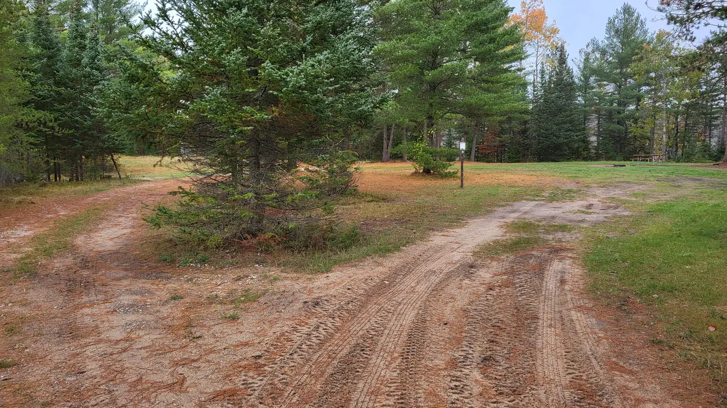
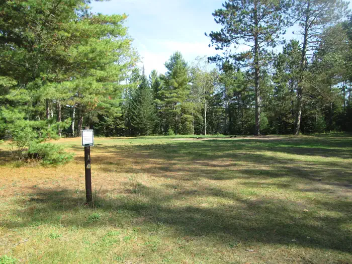
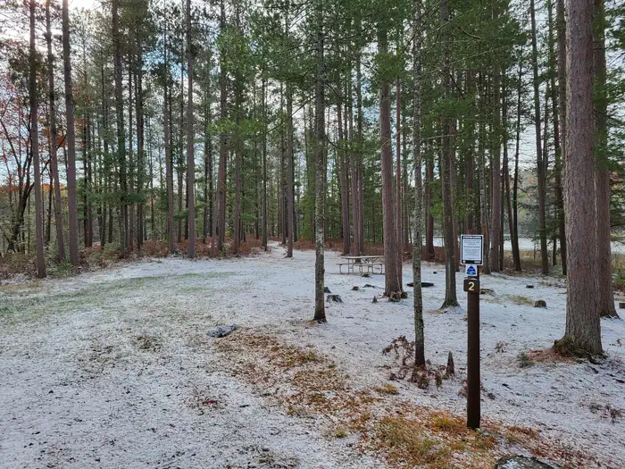
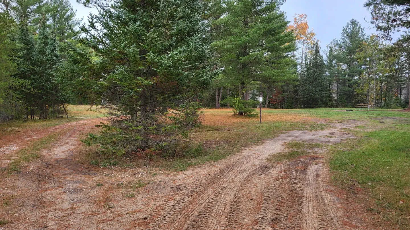
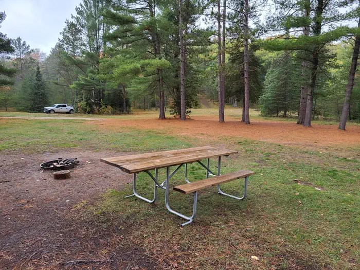
Overview The Munising and Rapid River/Manistique Ranger Districts of the Hiawatha National Forest offer a variety of camping experiences. Many are located on inland lakes in a rustic forest environment with no drinking water. The rustic environment offers a wonderfully serene and peaceful setting for your next camping experience. Recreation Visitors will be able to enjoy swimming, berry picking, and fishing at these dispersed campsites. Licenses are required for fishing in Michigan waters. Leg Lake has good fishing for northern pike, largemouth bass, black crappies and bluegills. Some yellow perch and bullheads may be caught. There is an unimproved boat access located adjacent to site 2. It is intended for day use only. Only small boats and trailers are recommended at this access. Facilities There is NO drinking water available at these sites. There is a primitive toilet located at site 1. Lake Name: Leg Lake Number of Sites: 2 Max Number of People Per Site: Site 1 (24), Site 2 (8) Toilets: Yes at site 1 Boat Access: Back-In at site 2 Lake Size (acres) : 40 Natural Features There are two campsites located on Leg Lake. These sites lie about 0.25 miles west of County Road 437 between Forest Roads 2697 and 2438. Each of these has specific features as detailed below: Site 1 is located on the west side of the lake. It is a very large semi-open area that would be suitable for group camping or family gatherings with trailers. Site 2 is a small, wooded area located on the east side of the lake. This site is suitable for one family. Nearby Attractions There is a number of horse, bike, and hiking trails within minutes of several of the sites. In over a mile from these campsites, visitors can expect to find: bait shops, general and grocery stores, gas, a pay phone, trailheads, a fishing pier, biking, and kayak/canoe rentals. Gasoline, groceries, fishing and camping supplies, ice and deli are available approximately two miles south on County Road 437 in the Thunder Lake area. Contact Info For local information, please call (906) 474-6442 or call (906) 387-2512 for general information.
From the USFS.
Is Leg Lake Campsites free?
No. Leg Lake Campsites charges a fee. It is managed by the USFS.
How do I get to Leg Lake Campsites?
From Cooks (about 12 miles west of Manistique or 24 miles east of Rapid River on US-2) drive north 4. 4 miles on County Road 442 to CR 437. Turn left (north) on CR 437 and drive 13. 3 miles to FR 2697. Turn left (west) and drive to site 2 or turn left (west) off CR 437 at about 13. 2 miles on FR 2438 and drive 0. 7 mile to reach site 1.
Nearby
- Minerva Lake Campsites1.1 mi
- Minerva Lake Campsite1.1 mi
- Jackpine Lake Campsites2.1 mi
- Triangle Lake Campsite2.7 mi
- Triangle Lake Campsites2.7 mi
- Little Bass Lake Campsites2.8 mi
- Little Bass Lake Campsites2.9 mi
- Bass Lake Campsites3.1 mi
No other services within 50 mi on the record.
SourceData from the USFS. Last synced September 19, 2026. Community reports and photos are submitted by travelers and are not verified by the agency.
