
Lac Vieux Desert Campground
Campground · Fee not listed
Fast facts
- Cost
- Not listed. Check locally.
- Type
- Campground
- Coordinates
- 46.1364, -89.1527
- Last verified
- September 19, 2026
About this place
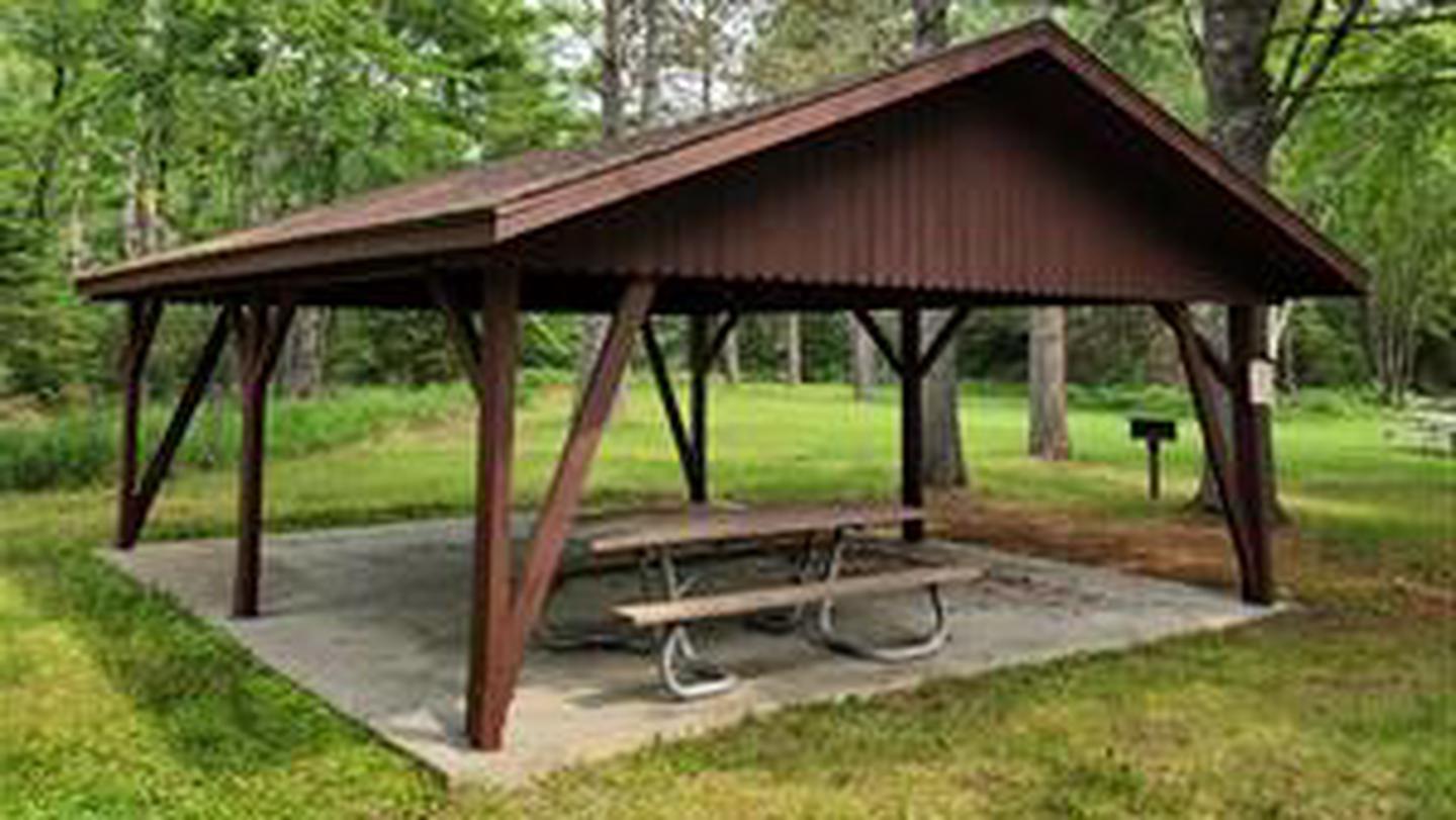
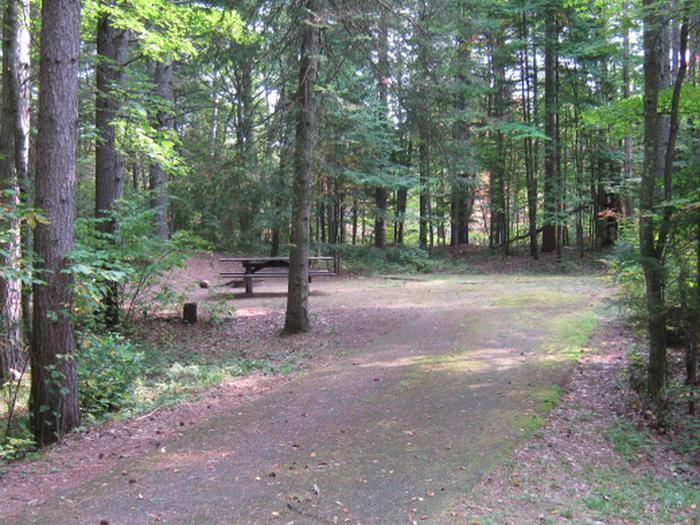
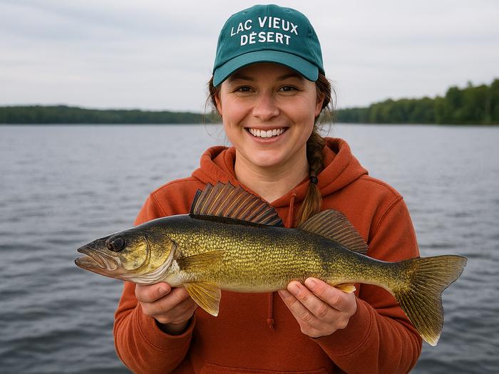
Overview Lac Vieux Desert Campground is located on the western shore of Lac Vieux Desert, the headwaters of the Wisconsin River. Located in the northwest corner of the Nicolet National Forest, just miles from the Michigan Border, Lac Vieux Desert is one of the premier fisheries in the State of Wisconsin. Recreation With walleye, northern pike, musky, large and smallmouth bass, as well as a variety of panfish, Lac Vieux Desert is an angler's paradise. The campgrounds boat landing provides direct access to the lake for the early morning or late evening bite. Facilities With 31 campsites accommodating trailers from 35 to 40 feet in length, drinking water, accessible vault toilets, and garbage dumpsters provided, Lac Vieux Desert Campground may become your new fishing headquarters. Natural Features Sitting on the western shore of 4,017-acre Lac Vieux Desert, the campground and its sites are nestled amongst tall pines and maples, creating the perfect setting for a weekend getaway. Nearby Attractions The town of Phelps and the Phelps to Conover bicycle trail lie a few miles southeast of the campground. Other lakes in close proximity to the campground are North Twin, Long, Big Sand, and Smokey Lake, all of which are known to have excellent fisheries. Contact Info For facility specific information, please call (715) 479-2827.
From the managing agency.
Is Lac Vieux Desert Campground free?
We do not have a fee on record for Lac Vieux Desert Campground. Confirm the cost locally before you go.
How do I get to Lac Vieux Desert Campground?
Lac Vieux Desert Campground is at 46.1364, -89.1527. We do not hold written directions for this one, so navigate to the coordinates.
Nearby
- Imp Lake Camp6.9 mi
- Marion Lake Campground9.6 mi
- MARION LAKE GROUP SITE9.6 mi
- Marion Lake Group Camp Site9.7 mi
- Sylvania (Clark Lake) Campground10.6 mi
- SYLVANIA WILDERNESS BACKCOUNTRY CAMPING10.6 mi
- CLARK LAKE PAVILION10.6 mi
- Clark Lake - Sylvania Camp10.9 mi
No other services within 50 mi on the record.
SourceSource data is agency published. Last synced September 19, 2026. Community reports and photos are submitted by travelers and are not verified by the agency.
