
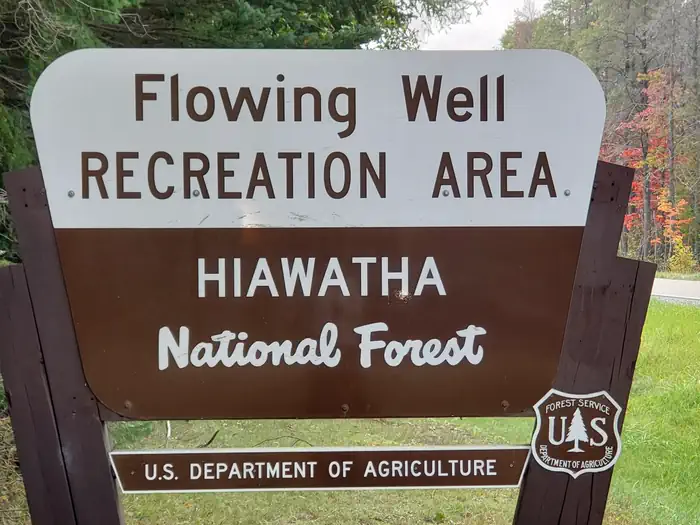
FLOWING WELL CAMPGROUND
Campground · Fee not listed
Fast facts
- Cost
- Not listed. Check locally.
- Type
- Campground
- Coordinates
- 45.9375, -86.7071
- Last verified
- September 19, 2026
About this place
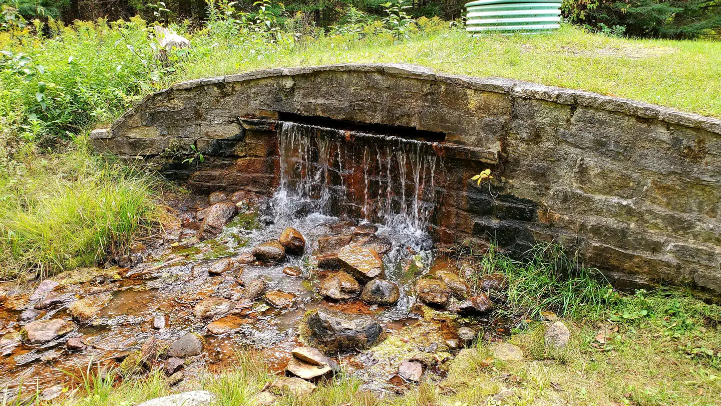
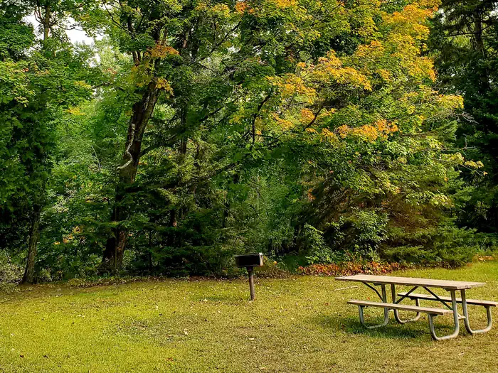
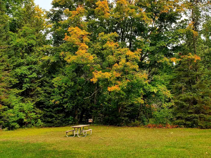
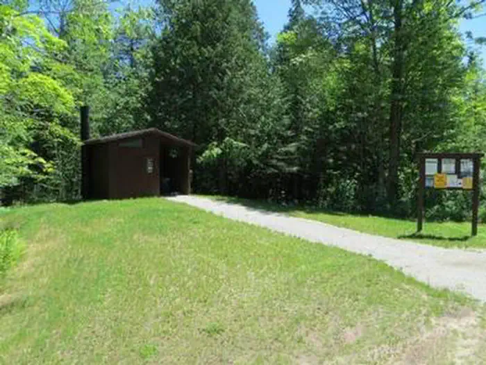
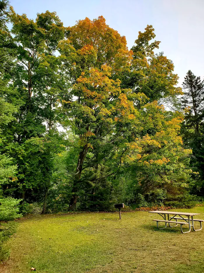
Overview Flowing Well Campground is situated along the western banks of the Sturgeon River, among large trees and a variety of wildflowers. Camping, fishing, picnicking and canoeing can be enjoyed in a serene setting. Recreation The area is most popular for canoeing and other non-motorized boating, as the Sturgeon River Canoe Trail runs right through the campground. The trail weaves with the river through a 41-mile portion of the heavily wooded Hiawatha National Forest. There are various access points along the river. Fishing is also popular, with brook trout, steelhead and salmon found in the river. Facilities The campground offers less than a dozen spacious sites for tent and RV camping. Some sites are situated along the bank, overlooking the slow-moving river. Each site is equipped with tables and campfire rings, and most come equipped with grills as well. Accessible vault toilets and drinking water are provided. The water from the well has a heavy iron and sulfur content, which is an acquired taste, but is safe to consume. A group picnic area is also equipped with tables and campfire rings with grills. It is adjacent to a good-sized parking area. Vault toilets and drinking water are also available. Natural Features The campground is sandwiched between Forest Highway 13 and the Sturgeon River, in the lower portion of Michigan's Upper Peninsula. It is about 10 miles from the northern shores of Lake Michigan. The region is dotted with wildflowers and mature trees. Contact Info For facility specific information, please call (906) 767-1111.
From the managing agency.
Is FLOWING WELL CAMPGROUND free?
We do not have a fee on record for FLOWING WELL CAMPGROUND. Confirm the cost locally before you go.
How do I get to FLOWING WELL CAMPGROUND?
FLOWING WELL CAMPGROUND is at 45.9375, -86.7071. We do not hold written directions for this one, so navigate to the coordinates.
Nearby
- Chicago Lake Campsites8.5 mi
- Chicago Lake Campsites8.8 mi
- Camp Cook Campsites9.3 mi
- Camp Cook Campsite9.3 mi
- CAMP SEVEN LAKE CAMPGROUND11.2 mi
- Camp Seven Lake Recreation Area11.3 mi
- Gooseneck Lake Campsites11.7 mi
- Gooseneck Lake Campsites12.0 mi
No other services within 50 mi on the record.
SourceSource data is agency published. Last synced September 19, 2026. Community reports and photos are submitted by travelers and are not verified by the agency.
