
D.H. Day Group Campground
Campground · Fee
Fast facts
- Cost
- Fee charged
- Type
- Campground
- Phone
- 231-326-4700
- Coordinates
- 44.8917, -86.0428
- Last verified
- September 19, 2026

About this place
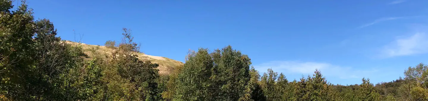
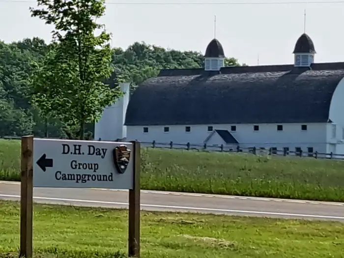
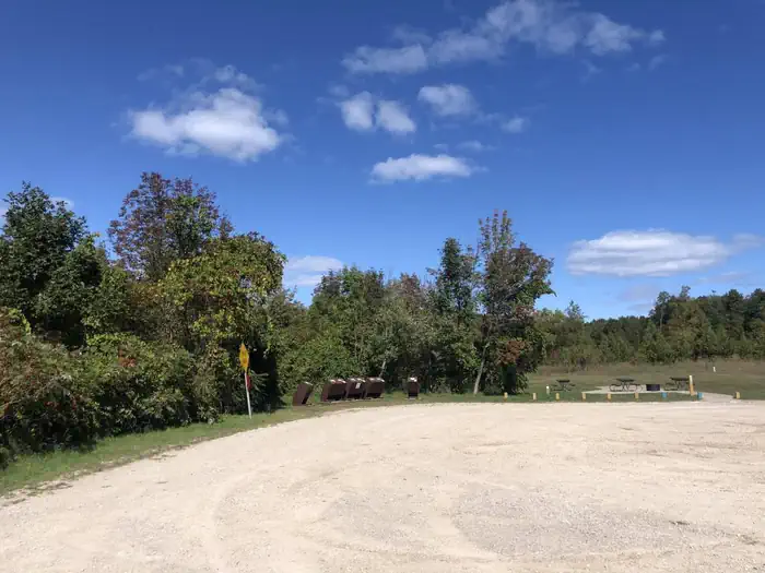
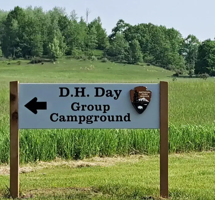
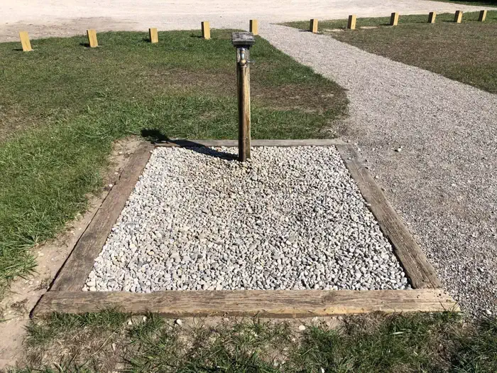
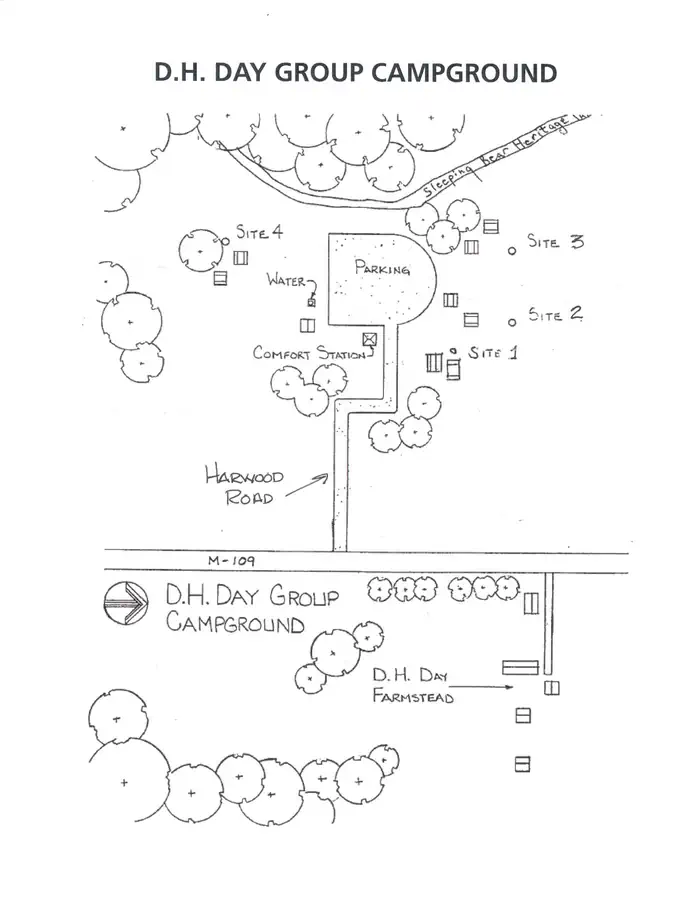
Overview D.H. Day Group Campground is a tent-only facility located in the heart of Sleeping Bear Dunes National Lakeshore, about one mile (1.6 km) north of the Dune Climb, where visitors can walk over miles of sand dunes. This year-round campground has four sites which accommodate groups of 7 to 25 people. Recreation D.H. Day Group is a hub for water activities. Motorized and non-motorized boating is allowed on the lake, with restrictions, and there is a boat ramp about six miles away by which boaters can access Lake Michigan. Campers can also rent canoes and kayaks in the town of Glen Harbor to float the nearby Crystal River. The beach at Glen Haven, which is popular for beachcombing and swimming, is about one mile away from the campground. There are no lifeguards on duty at the park's beaches. The facility is also close to the Dune Climb, where visitors can climb on sand dunes over 200 feet high, walk more than 1.5 miles on the dunes to Lake Michigan and catch a great view of Glen Lake. Facilities Picnic tables, food storage boxes, and campfire rings are provided at each campsite. Each campsite has a designated area where tents must be pitched. The campground has drinking water during the reservation season, but the water is shut off from October 16 through April 26 (weather permitting). Pets and RVs are not allowed in the group sites. Access to the campground is via a dirt road. Natural Features The campground is open with sparse vegetation. Contrary to the park's name, bears are rarely sighted here, yet other wildlife such as birds, deer and wild turkey may be seen. Although the Lake Michigan shore is long and narrow, it has northern hardwood and conifer forests, abandoned farm meadows, wetlands, lakes, streams, bogs and splendid examples of a glacially formed landscape. The most prominent features in the park, for which it was named, are the perched sand dunes above Lake Michigan. The overlooks at Sleeping Bear, Empire and Pyramid Point bluffs are about 400 feet above the lake. With 65 miles of Lake Michigan shoreline and numerous inland lakes and streams, the park is wonderfully water-oriented. Nearby Attractions To the East and North: 1.3 miles - Alligator Hill Trail - via Harwood Road (E), M-109 (S), Day Farm Road (E), & Stocking Road (N). 1.5 miles - Historic Village of Glen Haven & the General Store bookstore 2.0 miles - Maritime Museumand 2.3 miles - Sleeping Bear Point Trail 3.2 miles - Village of Glen Arbor - where the Crystal River winds through town to Lake Michigan. 7.3 miles - Port Onieda Historic District. 21.8 miles - The Harbor Town of Leland serves as the gateway to both North and South Manitou Islands . To the South: 1.5 miles - The Dune Climb and Dune Center bookstore . 3.5 miles - Pierce Stocking Scenic Drive, home of the Lake Michigan Overlook. 6.5 miles - Village of Empire . Contact Info For local information, please call (231) 326-4700 or call (877) 444-6777 for general information. Charges & Cancellations
From the managing agency.
Is D.H. Day Group Campground free?
No. D.H. Day Group Campground charges a fee.
How do I get to D.H. Day Group Campground?
D.H. Day Group Campground is at 44.8917, -86.0428. We do not hold written directions for this one, so navigate to the coordinates.
Nearby
- D. H. Day Campground1.2 mi
- D. H. Day Campground Group Campground1.2 mi
- D.H. Day Campground1.2 mi
- Weather Station Campground - South Manitou Island8.4 mi
- South Manitou Group Campground8.7 mi
- Bay Campground - South Manitou Island9.3 mi
- White Pine Backcountry Campground Permits10.8 mi
- White Pine Backcountry Campground10.9 mi
No other services within 50 mi on the record.
SourceSource data is agency published. Last synced September 19, 2026. Community reports and photos are submitted by travelers and are not verified by the agency.
