
HASTINGS CAMPGROUND
Campground · Fee not listed
Fast facts
- Cost
- Not listed. Check locally.
- Type
- Campground
- Phone
- 603-466-2713
- Coordinates
- 44.3519, -70.9842
- Last verified
- September 19, 2026
About this place
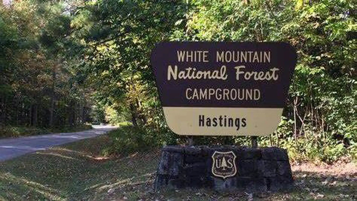
Overview Hastings Campground is located on Route 113 near the shore of Evans Brook in western Maine. It is situated in a rustic and remote part of White Mountain National Forest, not far from the towns of Gilead Me and Gorham, New Hampshire. Activities include fishing, hiking and mountain biking. The White Mountains boast pristine forests, clear mountain streams and rivers and the tallest peaks in the Northeast. The forest encompasses nearly 800,000 acres in New Hampshire and western Maine, and is one of the most popular in the country. Recreation Within a short drive, campers can access numerous hiking trails of various levels, including a short, 2-mile trail that is great for families, as well as a more rigorous 9-mile trail on Mt. Hastings. Fishing is available in nearby streams and rivers, and the famous Appalachian Trail is about a half-hour drive from the campground. The area also hosts four alpine and five Nordic ski areas, which provide year-round recreation opportunities such as skiing, hiking, mountain biking, outdoor concerts, interpretive trails, special events and regional and national skiing and snowboarding races. Learn more about recreation in the national forest. Facilities Campsites are shaded and well-separated around a single loop. Accessible restrooms and a hand pump for water are provided within the facility. The campground also has a large, open play area for kids. Natural Features The campground sits in a mixed hardwood forest at the base of Mt. Hastings and a short distance from Evans Brook and the Wild River. The forest is home to many species of northern wildlife, including moose, white-tailed deer and black bear. Almost 200 species of birds, including the rare Bicknell's Thrush, live in the White Mountains. Nearby Attractions Campers enjoy a scenic day trip to the Presidential Range, which consists of the tallest mountains in the forest, including the 6,288-foot Mount Washington, the highest peak north of the Smoky Mountains and east of the Mississippi River. Contact Info For facility specific information, please call (802) 289-0970.
From the managing agency.
Is HASTINGS CAMPGROUND free?
We do not have a fee on record for HASTINGS CAMPGROUND. Confirm the cost locally before you go.
How do I get to HASTINGS CAMPGROUND?
HASTINGS CAMPGROUND is at 44.3519, -70.9842. We do not hold written directions for this one, so navigate to the coordinates.
Nearby
- Hastings0.0 mi
- Wild River5.1 mi
- Wild River Campground5.1 mi
- BASIN CAMPGROUND6.1 mi
- Basin6.1 mi
- COLD RIVER6.2 mi
- Spruce Brook Tent Site8.3 mi
- Crocker Pond8.5 mi
No other services within 50 mi on the record.
SourceSource data is agency published. Last synced September 19, 2026. Community reports and photos are submitted by travelers and are not verified by the agency.
