
Marsden Tract Group Campsite
Campground · Fee not listed
Fast facts
- Cost
- Not listed. Check locally.
- Type
- Campground
- Coordinates
- 38.9787, -77.2161
- Last verified
- September 19, 2026


About this place
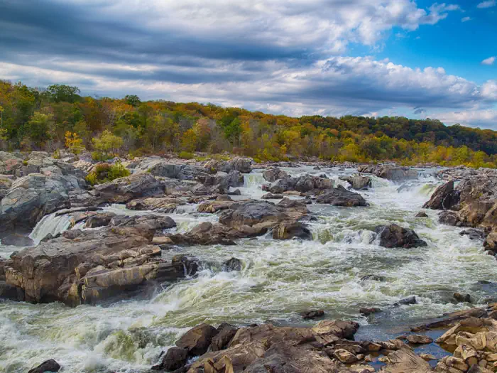
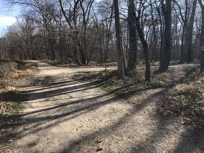
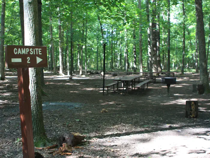
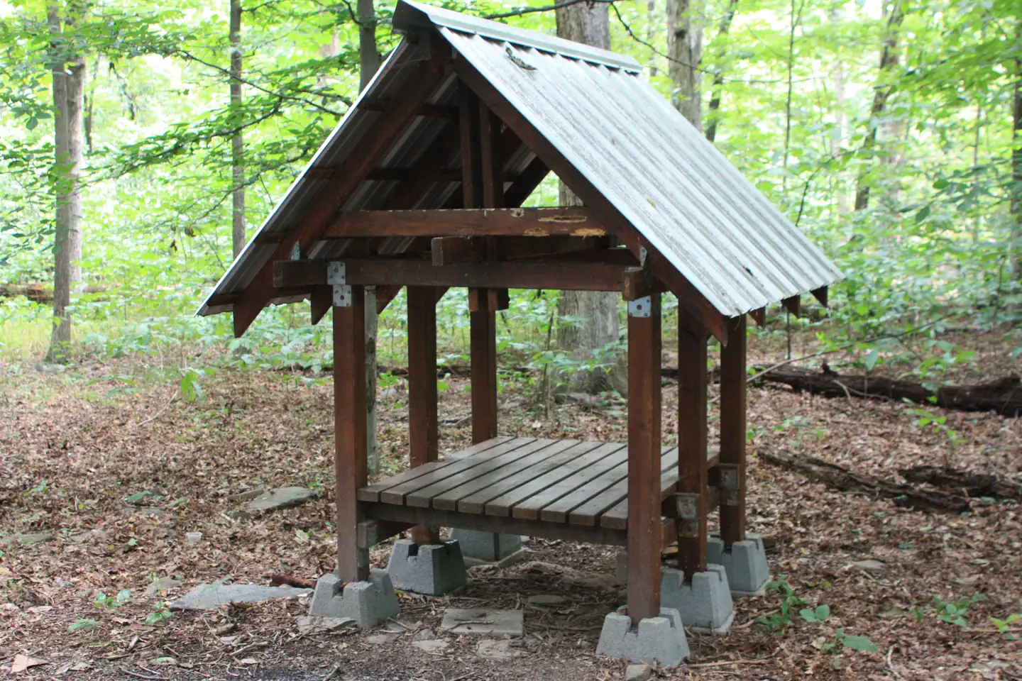
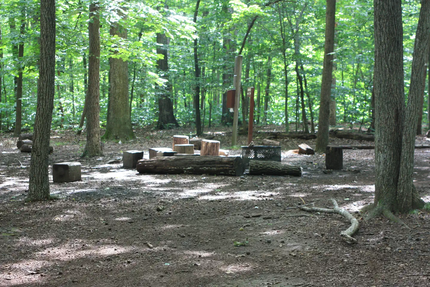
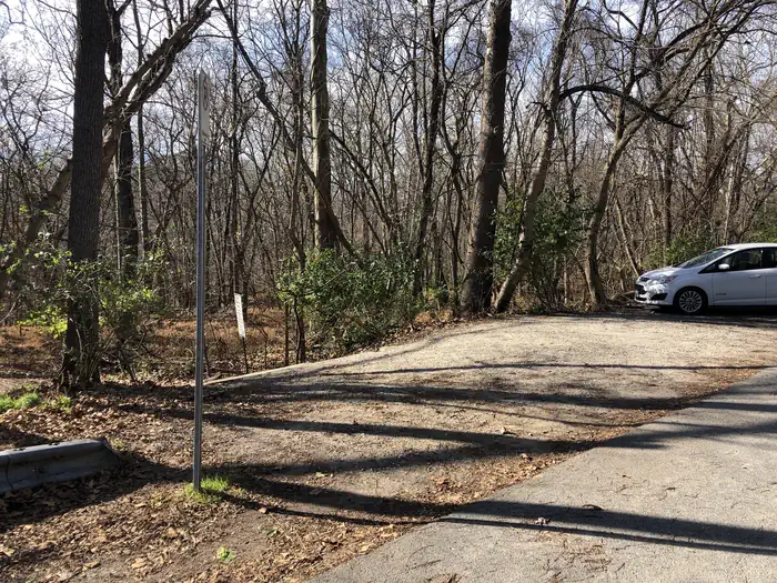
Overview Scouts built the Marsden Tract Group Campground to provide access to larger campsites within easy commuting distance of the D.C. Metro area. It is located at Mile 11.5 on the C&O Canal Towpath, between the Carderock Recreation Area and the historic Old Anglers Inn (private). The group campsites are nestled in the woods between the Canal and the Potomac River and they are a short distance from many recreational opportunities. Fishing, rock climbing, paddling and hiking are but a few possibilities while staying at Marsden Tract. Alcoholic beverages are prohibited. Recreation The most popular activity for Marsden Tract campers is hiking the three sections (A, B and C) of the Billy Goat Trail, one of the most popular and challenging rock hikes in the east. There are also many woodland trails for beginners and experts alike. Fishing is also a popular pastime in both the C&O Canal and the Potomac River. Be sure to acquire a Maryland fishing license for those age 16 or older. Virginia licenses are approved for fishing in the Potomac only. Facilities The campground has six group campsites; all will accommodate up to 30 campers at each site. Each campsite has a picnic table and a fire ring. Potable water is located a short walk up the towpath and across the footbridge heading towards MacArthur Blvd (water may not be available during cold winter months). Portable toilets are located near Campsite 1. No vehicle traffic is allowed on the towpath and access to the campsites is by foot only. Carderock Recreation Area or Angler's Inn are the two closest parking areas. Each is a one-mile walk respectively. There are flush toilets located at the Angler's parking area. There is a temporary stopping area on MacArthur Blvd near the intersection of Brickyard Rd. This area may be used to off-load gear and be walked down the hill, however overnight parking in this area is not permitted. Natural Features Marsden Tract Group Campsite is just south of the Great Falls of the Potomac and Mather Gorge. These two stunning features provide an excellent example of local geology while showing the sheer force and power of nature. Contact Info This location is unstaffed. To speak with our main office for general information, please call: (301) 739-4200. Nearby Attractions Marsden Tract Group Campsite is located about 14 miles (22.5 km) outside of Washington, D.C., providing affordable camping near the nation's capital. Many campers will base out of Marsden to see the sites such as the Smithsonian Institution, National Mall, Capitol and The White House. Charges & Cancellations No rain dates or weather-related refunds.
From the managing agency.
Is Marsden Tract Group Campsite free?
We do not have a fee on record for Marsden Tract Group Campsite. Confirm the cost locally before you go.
How do I get to Marsden Tract Group Campsite?
Marsden Tract Group Campsite is at 38.9787, -77.2161. We do not hold written directions for this one, so navigate to the coordinates.
Nearby
- Marsden Tract Group Campground0.1 mi
- Carderock Recreation Area Pavilion1.0 mi
- Swains Lock Hiker-Biker Campsite3.9 mi
- Rock Creek Park Group Picnic Areas (DC)9.2 mi
- Horsepen Branch Hiker-Biker Overnight (HBO) Campsite11.6 mi
- Horsepen Branch Hiker-Biker Campsite11.6 mi
- Fort Dupont Park Picnic Areas15.5 mi
- Chisel Branch Hiker-Biker Campsite16.2 mi
No other services within 50 mi on the record.
SourceSource data is agency published. Last synced September 19, 2026. Community reports and photos are submitted by travelers and are not verified by the agency.
