
Beaver Dam Campground (Kisatchie National Forest, LA)
Campground · Fee not listed
Fast facts
- Cost
- Not listed. Check locally.
- Type
- Campground
- Phone
- 318-927-2061
- Coordinates
- 32.6736, -93.3056
- Last verified
- September 19, 2026




About this place
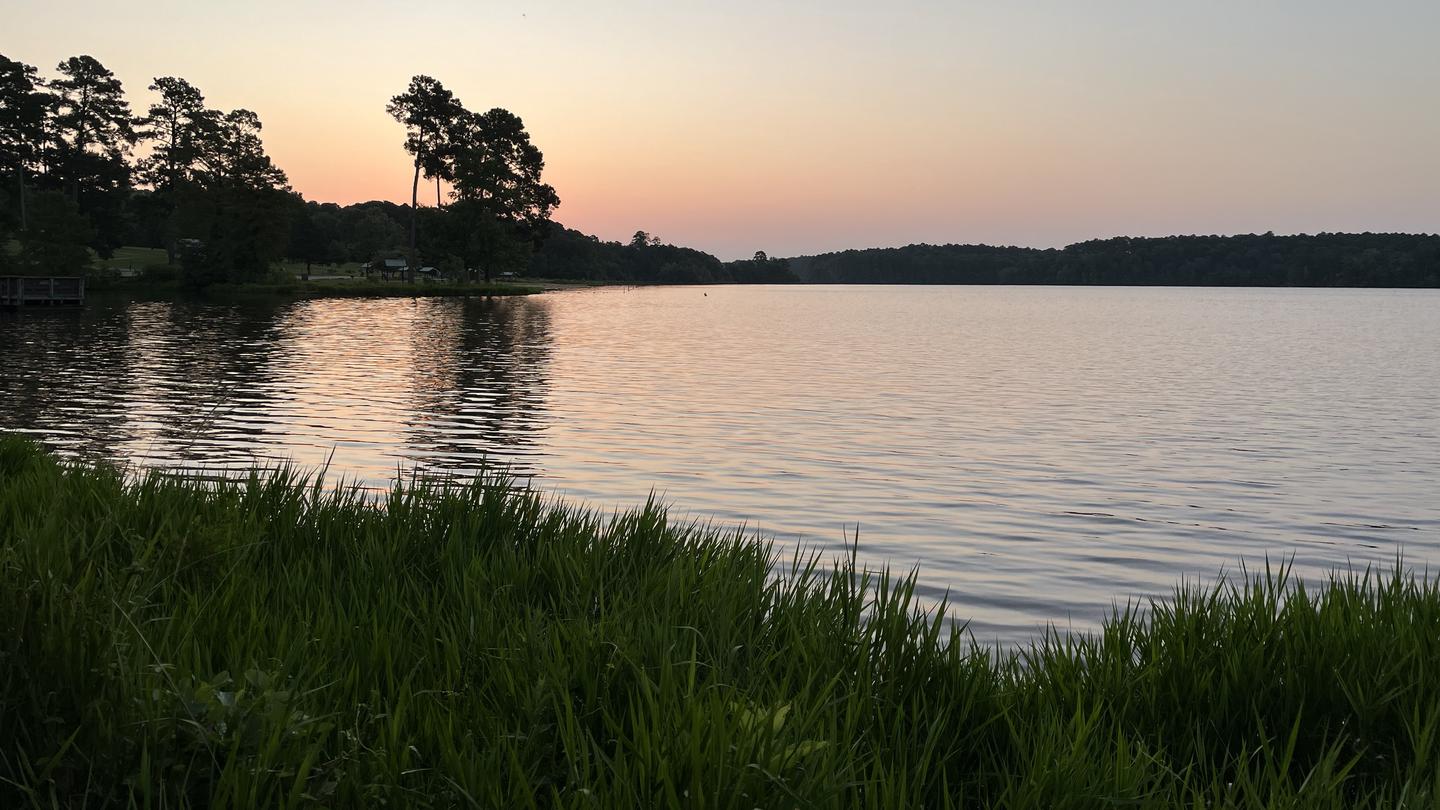
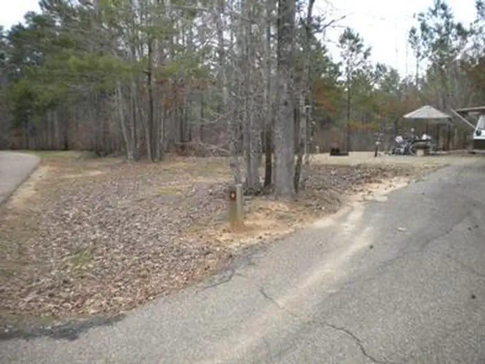
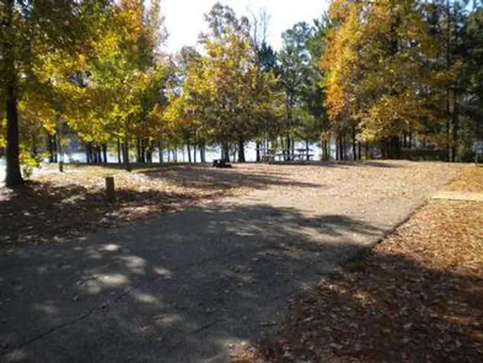
Overview Beaver Dam Campground is situated on the shores of Upper Caney Lake in the Caney Lakes Recreation Complex. The campground is located in a beautiful setting among woods, lakes and hills. Swimming, boating, fishing and water skiing are the top activities. Sugar Cane National Recreation Trail passes right next to the campground and offers varied terrain for hikers and bikers. The Sugar Cane trail was named for the crop that was once cultivated here, in addition to cotton. Recreation Bass, crappie, catfish, bluegill and sandbass can be caught in the lakes. The Sugar Cane Trail spans 5.7 miles and the Lost Man Loop spans 2 miles. Both are open to hiking and mountain biking. Facilities Campsites come with electric and water hookups. The group picnic area accommodates up to 200 guests while each campsite fits up to eight campers. A sanitary dump station, drinking water and flush toilets are provided. Natural Features Beaver Dam sits at an elevation of 160 feet along the north shores of the 125-acre Upper Caney Lake. The group picnic area is near Lower Caney Lake, spanning 250 acres. Kisatchie National Forest, the only national forest in Louisiana, spans 604,000 acres and mostly consists of bayous with bald cypress groves and old growth pine. Nearby Attractions The city of Minden has restaurants, shopping and golfing.
From the managing agency.
Is this site free?
We do not have a fee on record for this site. Confirm the cost locally before you go.
How do I get to this site?
this site is at 32.6736, -93.3056. We do not hold written directions for this one, so navigate to the coordinates.
Nearby
- Caney Lakes Beaver Dam Campground0.8 mi
- Corney Lake Recreation Area36.4 mi
- Cloud Crossing Recreation Area46.8 mi
No other services within 50 mi on the record.
SourceSource data is agency published. Last synced September 19, 2026. Community reports and photos are submitted by travelers and are not verified by the agency.
