
TAILWATER SHELTER 2 (BROOKVILLE LAKE)
Campground · Fee not listed
Fast facts
- Cost
- Not listed. Check locally.
- Type
- Campground
- Phone
- (765) 647-6701
- Coordinates
- 39.4364, -85.0029
- Last verified
- September 19, 2026
About this place
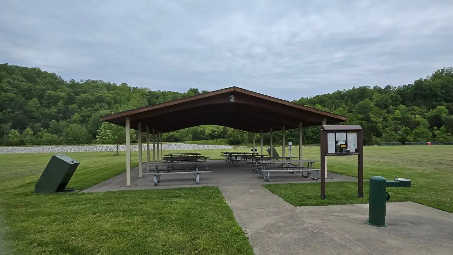
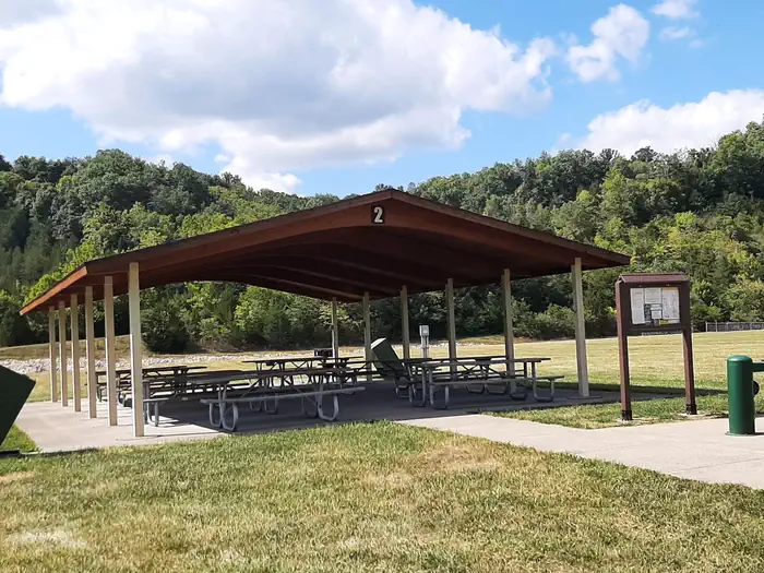
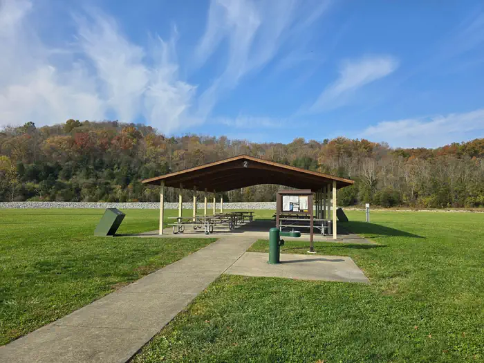
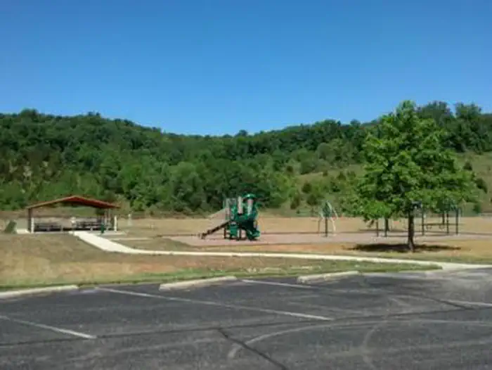
Overview The Tailwater #2 Shelter is located at the base of Brookville Lake Dam. 9136 SR101 Brookville, Indiana 47012 Visitors enjoy the accessibility to cold water trout fishing in the tailwater and the river access offered by this site. Tailwater #2 Shelter is a day use are only. There is no camping allowed at this site. Recreation Brookville Lake offers excellent boating, water skiing, canoeing, and kayaking opportunities. Canoeing, kayaking, and rafting are popular recreation activities in the Whitewater River located directly below the dam. Other recreation opportunities at the lake include hiking, swimming, camping, fishing, hunting, cabin and boat rentals, gun and archery ranges, and horseback riding. The Tailwater #2 shelter is located a short drive away from the Brookville Visitor Center which offers exhibits, history, and information about the lake and the Corps missions in the Ohio Valley. Facilities The Tailwater #2 Shelter is located near a modern indoor restroom. Electric plug-ins, a water spigot/fountain, and a cooking grill are provided with the reservation. Capacity for parking at this site is limited to 98 available parking spaces. Natural Features Tailwater #2 Shelter is located at the base of the Brookville Lake Dam. The Whitewater River flows within sight behind the shelter. There is a large open grassy space surrounding the shelter. Nearby Attractions Brookville Lake offers 51 miles of hiking, boating, water skiing, canoeing, and kayaking. Brookville's recreation facilities include beaches, boat ramps, campgrounds, fishing piers, an 18-hole golf course, lodging, marinas, picnic areas, playgrounds, restaurants, shooting and archery ranges, and trout fishing in the tailwater.
From the managing agency.
Is this site free?
We do not have a fee on record for this site. Confirm the cost locally before you go.
How do I get to this site?
this site is at 39.4364, -85.0029. We do not hold written directions for this one, so navigate to the coordinates.
Nearby
- TAILWATER SHELTER 1 (BROOKVILLE LAKE)0.1 mi
- OVERLOOK SHELTER (BROOKVILLE LAKE)0.8 mi
- Quakertown Campground5.4 mi
No other services within 50 mi on the record.
SourceSource data is agency published. Last synced September 19, 2026. Community reports and photos are submitted by travelers and are not verified by the agency.
