
HARDIN RIDGE
Campground · Fee
Fast facts
- Cost
- Fee charged
- Type
- Campground
- Phone
- 812-837-9453
- Nearest dump station
- Branchville Dump Station · 59.8 mi
- Coordinates
- 39.0103, -86.4289
- Last verified
- September 19, 2026
About this place
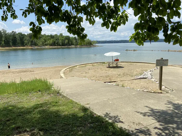
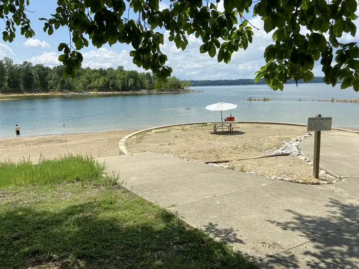
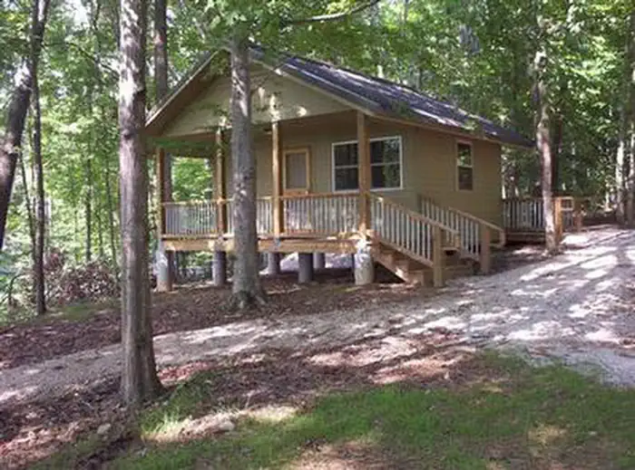
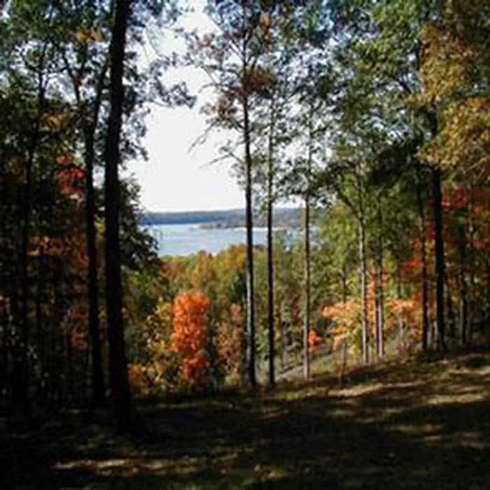
Overview Hardin Ridge is a 1,200-acre recreational complex located on the shores of Monroe Reservoir in Hooiser National Forest. The complex includes six shady campground loops, two picnic areas with shelters, and two rental cabins. The area offers something for everyone, with activities like camping, picnicking, boat launching, swimming, nature walks, and interpretive programs offered in a forested environment. Recreation A 300-foot swimming beach on Lake Monroe offers a place for children to play and swimmers to sunbathe and enjoy the water. The beach offers a combination of sand and sun, with a shady grass-covered hillside above. There are no lifeguards on duty. No glass containers or pets are allowed in the beach area. The Hardin Ridge Trail is a 2-mile hiking and bicycle trail that runs from the day use area to the various campground loops. This trail roughly follows the main campground road and provides a safe surface for families to hike or bike, as well as a scenic overlook. Fishing is allowed anywhere along the lakeshore within the recreational complex, but several quiet inlets provide secluded fishing holes along the lake's banks. Popular catches include blue gill, striped bass, large mouth bass and crappie. On the Ted T. Turtle interpretive trail, visitors can travel 1.2 miles through a scenic hardwood forest, along a small creek and down to Lake Monroe and back. On the trail, visitors have the opportunity to learn about the history, geology, and wildlife common to southern Indiana. For visitors interested in boating, the lake has a 3-lane launch ramp that is open year-round. A 75 vehicle/trailer parking area is also available as well as a fully accessible loading dock provided at the boat ramp. Facilities There are 197 camp sites at Hardin Ridge, 36 of which are walk-in tenting only sites. With the exception of Eads and Southern Point loops, the areas have electric hookups at about half the sites (walk-in sites to do not have electric hookups). Centralized water, flush toilets and showers are provided. In addition to the campground loops, there are two picnic areas with numerous tables, along with three shelter houses, two of which overlook the lake. Two of the shelters also have electricity and lights. If the shelters are not reserved, they may be available on a first-come, first-served basis. There is ample space in the fields around the picnic sites for games. The Hardin Ridge Recreation Area has two primitive cabins available for rent. The cabins each offer 6 bunk beds, one of which is a double bed, for a total sleeping capacity of 7 people. The cabins are located on the shores of Lake Monroe, between the boat launch and swimming beach. There is a picnic shelter nearby and a shared toilet between the two cabins. Natural Features Monroe Reservoir spans 10,750-acres and is the largest lake in Indiana. There is an overlook on Hardin Ridge Road that is spectacular in any season and gives visitors a high vantage point of the lake, colorful marinas across the water and a vast expanse of forest. The entire area is forested with hardwoods and is well-shaded to give visitors the feel of being in the deep woods. In spring, the dogwoods and redbuds bring bright color to the forest and in fall, the foliage offers colors in vibrant hues of yellow, orange and red. Nearby Attractions Special Places on the Hoosier National Forest Brooks Cabin Buffalo Trace Carnes Mill Site Clover Lick Barrens Hickory Ridge Lookout Tower Initial Point Lick Creek African American Settlement The Jacob Rickenbaugh Homestead Wesley Chapel Gulf
From the managing agency.
Is HARDIN RIDGE free?
No. HARDIN RIDGE charges a fee.
How do I get to HARDIN RIDGE?
HARDIN RIDGE is at 39.0103, -86.4289. We do not hold written directions for this one, so navigate to the coordinates.
Nearby
SourceSource data is agency published. Last synced September 19, 2026. Community reports and photos are submitted by travelers and are not verified by the agency.
