
SOUTH MARCUM DAY USE
Campground · Fee not listed
Fast facts
- Cost
- Not listed. Check locally.
- Type
- Campground
- Phone
- 618-724-2493
- Coordinates
- 38.0358, -88.9468
- Last verified
- September 19, 2026
About this place
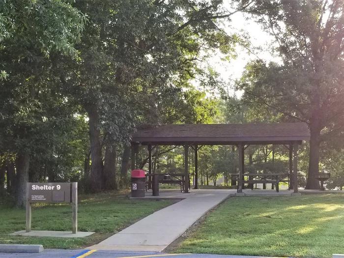
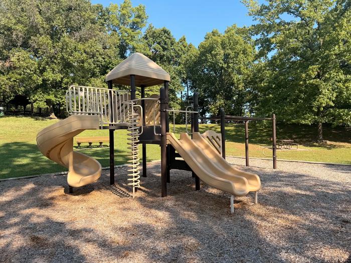
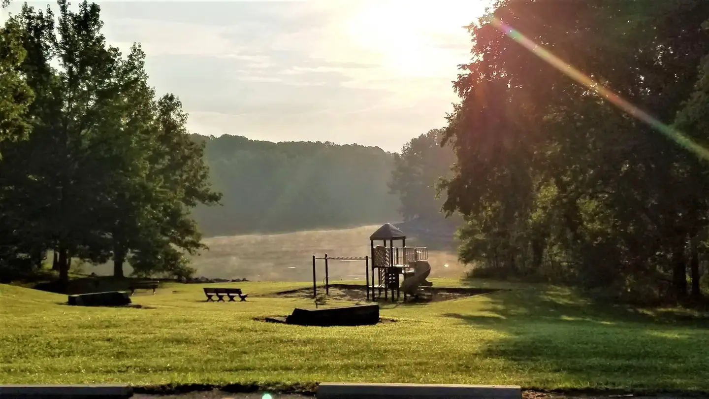
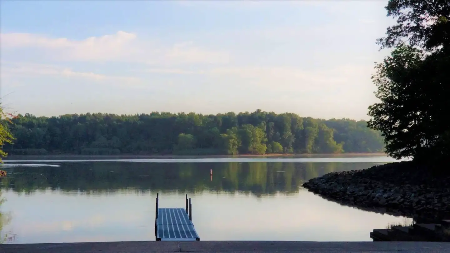
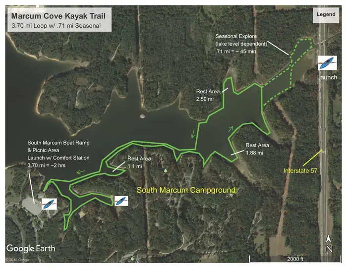
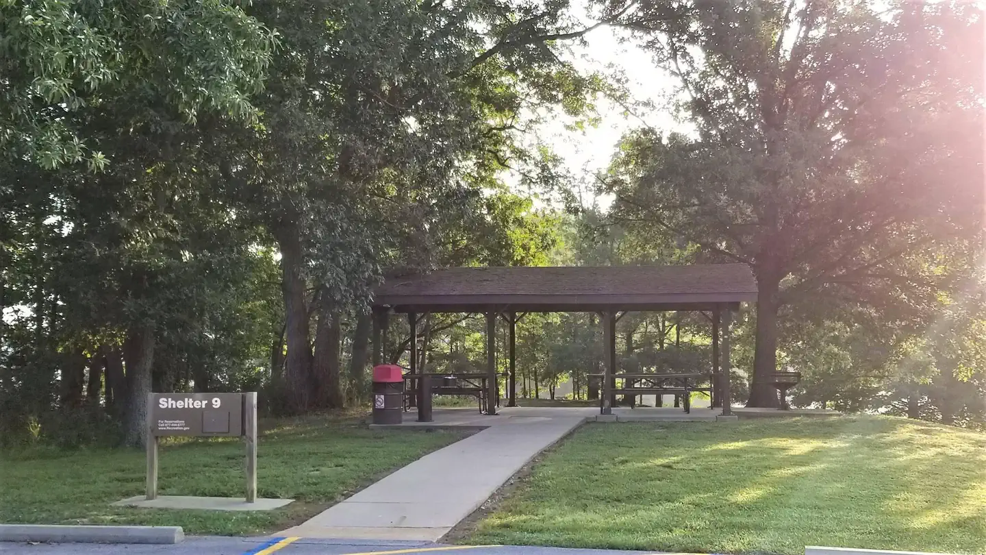
Overview South Marcum Day Use Area— the perfect place to enjoy a wide variety of activities, events, and nature at its best. Rend Lake is made up of 20,633 acres of water and 19,523 acres of land. Whether you're looking for high adventure, a peaceful retreat, or something in between, you'll find it here in the heart of Southern Illinois. Recreation Within the area, visitors can access the Rend Lake Bike Trail—over 20 miles of paved pathways that guide riders through scenic woodlands and across views of Rend Lake and the Big Muddy River. The area offers abundant opportunities for boating, hiking, fishing, hunting, swimming, and general outdoor exploration. Additional recreation features around Rend Lake include an archery complex with a 3D trail and elevated shooting platform, a dog park with a swimming feature, and two public swimming beaches (including the pet-friendly North Marcum Beach). Facilities South Marcum Day Use Area features a picnic shelter with tables, grills, and drinking water. The shelter can accommodate up to 25 guests, and the area has a boat ramp and playground within walking distance. Natural Features The fields, forests, and waters of Rend Lake provide a natural haven for wildlife and an outdoor wonderland for you. Woodland areas are made up of hickory, oak, and beautiful maples providing habitat to white-tail deer, turkeys, racoons, and many more native species. The shorelines are an excellent viewing area for waterfowl, shorebirds, and bank fishing the known crappie population. Nearby Attractions Rend Lake Project Office/ Visitor Center Rend Lake Spillway Recreation Area Rend Lake Bike Trail Contact Info For facility specific information, please call (618) 724-2493.
From the managing agency.
Is SOUTH MARCUM DAY USE free?
We do not have a fee on record for SOUTH MARCUM DAY USE. Confirm the cost locally before you go.
How do I get to SOUTH MARCUM DAY USE?
SOUTH MARCUM DAY USE is at 38.0358, -88.9468. We do not hold written directions for this one, so navigate to the coordinates.
Nearby
- DALE MILLER YOUTH0.2 mi
- SOUTH MARCUM CAMPGROUND0.4 mi
- SPILLWAY GROUP AREA0.4 mi
- NORTH MARCUM DAY USE AREA1.2 mi
- DAM WEST AREA (DAY-USE)2.1 mi
- SOUTH SANDUSKY DAY USE2.8 mi
- GUN CREEK3.1 mi
- SOUTH SANDUSKY CAMPGROUND3.1 mi
No other services within 50 mi on the record.
SourceSource data is agency published. Last synced September 19, 2026. Community reports and photos are submitted by travelers and are not verified by the agency.
