
COTTONWOOD CAMPGROUND (IA)
Campground · Fee not listed
Fast facts
- Cost
- Not listed. Check locally.
- Type
- Campground
- Phone
- MAY 1 - OCTOBER 31 CAMPGROUND ENTRANCE STATION: (319) 338-3685 NOVEMBER 1 - APRIL 30 CORALVILLE LAKE PROJECT OFFICE: (319) 338-3543 X.6300
- Coordinates
- 41.7229, -91.5347
- Last verified
- September 19, 2026
About this place
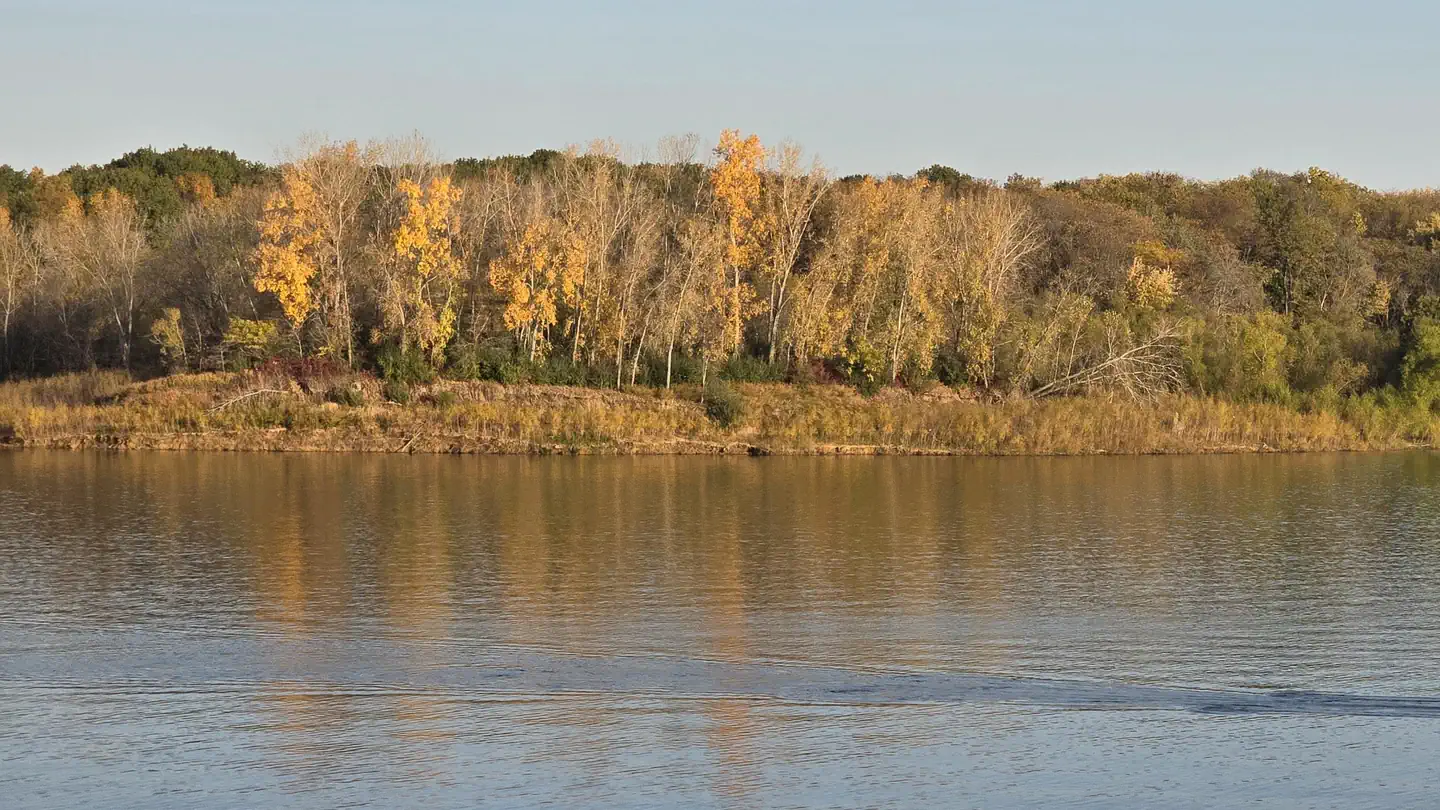
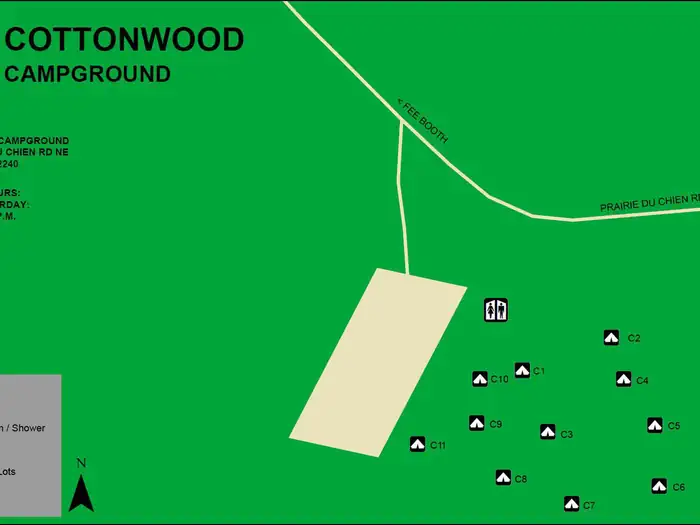
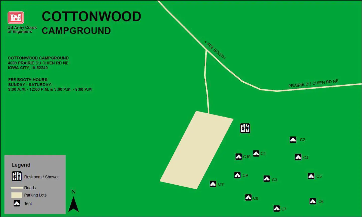
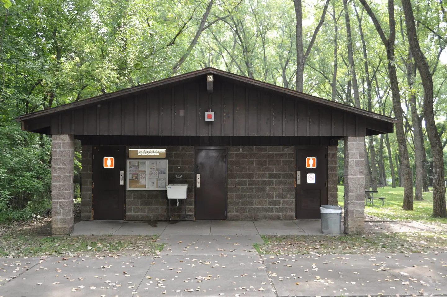
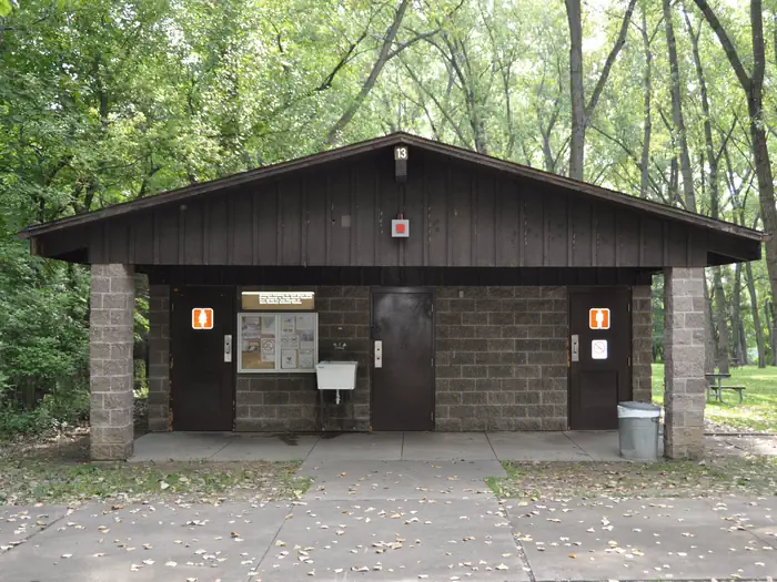
Overview COTTONWOOD CAMPGROUND IS CLOSED FOR THE 2026 RECREATION SEASON The Cottonwood Campground is located within the Dam Complex at the Coralville Lake Project. The Coralville Lake Project is a multiple use project providing primary benefits in flood control and low flow augmentation, and secondary benefits in recreation, fish and wildlife management and forest management. Coralville Lake provides many recreational opportunities, including boating, camping, hiking, mountain biking, lake and river fishing, swimming, water skiing, picnicking and hunting. Recreation Visitors enjoy Coralville Lake for camping, boating, fishing, swimming and water activities. Anglers will find large and smallmouth bass, crappie, walleye and catfish. Several trails are within the Dam Complex, including Squire Point, Woodpecker Trail, Tailwater Riverwalk and barrier-free Veterans Trail. The Devonian Fossil Gorge is just below the dam, offering a unique opportunity to explore a 375-million-year old sea floor and discover fossil remains of sea life that once inhabited this tropical marine environment. Twenty discovery points can be found throughout the site along with a cell phone audio tour. The Turkey Creek Disc Golf Course is located in the Dam Complex and offers nine partially wooden and open holes. Facilities The Cottonwood Campground offers 11 non-electric walk-to tent campsites. Amenities include a modern restroom and shower facility located at the main parking lot. The campground fee booth is located in the West Overlook Campground. The dump station, drinking water, trash and recycling receptacles are located just outside of the West Overlook Campground. Natural Features Coralville Lake is located in the Iowa River Valley, just north of Iowa City. The Cottonwood Campground lies among a heavily wooded forest of mixed hardwood species on the west side of the dam. Wildlife is abundant throughout the project. Whitetail deer, turkeys, pheasants, waterfowl, song birds and other species roam the lands around the lake. Nearby Attractions Iowa City/Coralville offers the Veterans Affairs Medical Center, University of Iowa campus, hospital and clinics, numerous restaurants and shops as well as Coral Ridge Mall. Cedar Rapids has wonderful cultural, historic and ethnic attractions such as The National Czech and Slovak Museum and Library and is the home of the Kernels Professional Baseball Club. West Branch boasts the Herbert Hoover National Historic Site and Presidential Library/Museum. At Amana Colonies visit seven quaint villages with outstanding restaurants, wineries, historic sites and specialty shops. Kalona is known as the "Quilt Capital of Iowa" and is home to an Old Order Amish and Mennonite Community.
From the managing agency.
Is COTTONWOOD CAMPGROUND (IA) free?
We do not have a fee on record for COTTONWOOD CAMPGROUND (IA). Confirm the cost locally before you go.
How do I get to COTTONWOOD CAMPGROUND (IA)?
COTTONWOOD CAMPGROUND (IA) is at 41.7229, -91.5347. We do not hold written directions for this one, so navigate to the coordinates.
Nearby
- Tailwater West Day Use Area0.1 mi
- TAILWATER WEST CAMPGROUND0.1 mi
- West Overlook Campground0.2 mi
- East Overlook Day Use Area0.4 mi
- LINDER POINT CAMPGROUND0.5 mi
- TAILWATER EAST CAMPGROUND0.5 mi
- Turkey Creek Day Use Area0.6 mi
- SUGAR BOTTOM CAMPGROUND2.6 mi
No other services within 50 mi on the record.
SourceSource data is agency published. Last synced September 19, 2026. Community reports and photos are submitted by travelers and are not verified by the agency.
