
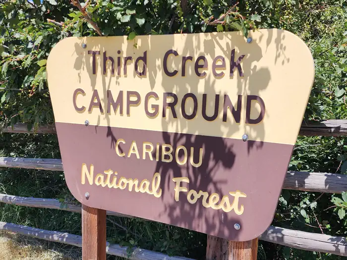
THIRD CREEK GROUP SITE
Campground · Fee not listed
Fast facts
- Cost
- Not listed. Check locally.
- Type
- Campground
- Phone
- 208-236-7500
- Coordinates
- 42.1914, -112.1231
- Last verified
- September 19, 2026


About this place
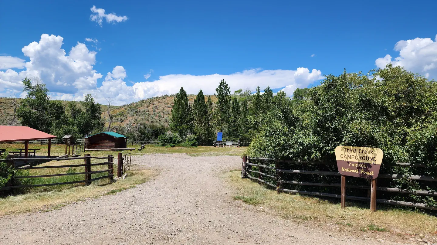
Overview Third Creek Group Campground is located just 12 miles northeast of Malad, Idaho, on the Weston Highway near Deep Creek Reservoir. Visitors enjoy exploring the local trail system and fishing at Deep Creek. Recreation Third Creek Trailhead is adjacent to the campground, complete with hitching racks for horses. It accesses the Oxford Peak Trail System and is open to hikers, bikers, motorcyclists and off-road vehicle users as well. Deep Creek Reservoir offers good trout, as well as boating and swimming opportunities. Facilities This group site can accommodate up to 125 people. A large picnic shelter, tables and grills are provided. There are 3 single vault toilets and potable water spigots. Weston Highway is paved and the one-mile stretch of road to the campground is a good gravel road with easy access for RVs and trailers. Gate code is emailed in the reservation confirmation email. Third Creek Group Site is managed by Pinnacle Parks LlC under a special use permit with the Caribou-Targhee National Forest. For questions please contact 208-757-3999 between the hours of 8am and 9pm. Natural Features The group site lies in an open, flat area in Weston Canyon at an approximate elevation of 5,000 feet. Pines and hardwoods are scattered around the edges of the campground, which receives snow through the winter. Contact Info For facility specific information, please call (208) 757-3999.
From the managing agency.
Is THIRD CREEK GROUP SITE free?
We do not have a fee on record for THIRD CREEK GROUP SITE. Confirm the cost locally before you go.
How do I get to THIRD CREEK GROUP SITE?
THIRD CREEK GROUP SITE is at 42.1914, -112.1231. We do not hold written directions for this one, so navigate to the coordinates.
Nearby
- Third Creek Group Area0.0 mi
- Dry Canyon Campground9.3 mi
- Heart Mountain Springs Recreation Site13.1 mi
- MALAD SUMMIT GUARD STATION13.2 mi
- MALAD SUMMIT CAMPGROUND13.5 mi
- Redpoint Recreation Site18.9 mi
- Redpoint Campground18.9 mi
- Maple Grove Campground21.0 mi
No other services within 50 mi on the record.
SourceSource data is agency published. Last synced September 19, 2026. Community reports and photos are submitted by travelers and are not verified by the agency.
