
STUMP CREEK GUARD STATION
USFS · Campground · Fee
Fast facts
- Cost
- Fee charged
- Managed by
- USFS
- Type
- Campground
- Hours
- Open 24 hours/day
- Reservations
- recreation.gov
- Phone
- 208-847-0375
- Coordinates
- 42.7942, -111.0800
- Last verified
- September 19, 2026
About this place
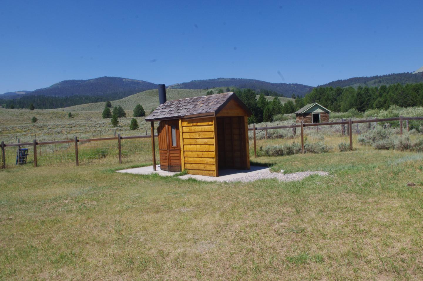
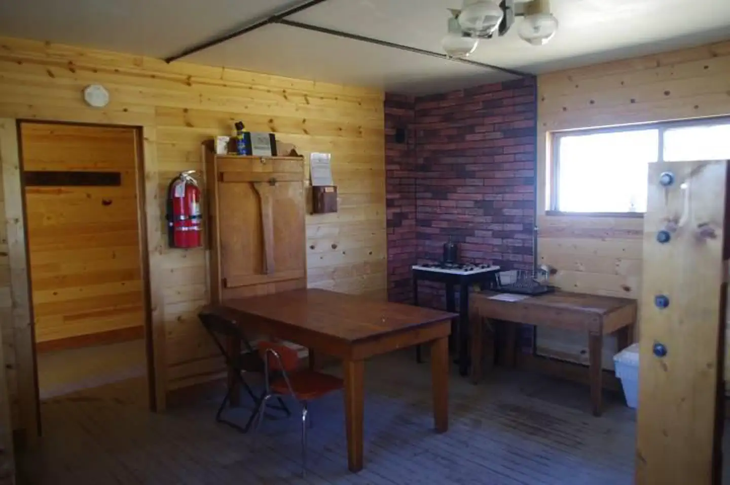
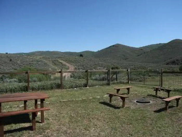
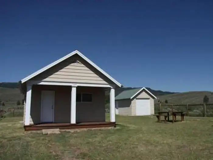
Overview Stump Creek Guard Station is located along what was once the Lander Cutoff for the Oregon Trail. Visitors can trace the path that covered wagons traveled on over 150 years ago on their way to the Pacific Northwest. Wagon ruts are still carved into the soil. The guard station is accessible by car during warmer months, but guests should be prepared to ski, snowshoe or snowmobile more than a mile to reach he cabin in winter. Guest will need to bring much of their own supplies and gear to ensure a comfortable stay. Recreation Hikers, horseback riders, cross-country skiers and mountain bikers have access to the Stump Creek/Lander Trail, which is now on the National Register of Historic Places. Off-road vehicle trails are nearby ( Idaho OHV safety message ). Anglers can fish in Stump Creek. Hunting for game and game birds is also a popular pastime in the area. Facilities The cabin can accommodate a maximum of 15 people. One large sleeping room is available with a total of two bunk beds. Please bring your own sleeping pads. The kitchen has a gas stove for cooking, a few dishes and cups and a table with chairs. A propane heater and propane lanterns are provided, and propane is available. A vault toilet is on-site. Water and electricity are not available at the cabin. Guests must provide their own drinking water, as well as garbage bags for parking out trash. Bedding, towels, dish soap and emergency supplies like flashlights and a first aid kit are not provided. Guests should be prepared to shovel snow in the winter to access the cabin and outhouse. Pets are not allowed inside the guard station. Pets must be on a leash at all times when on the guard station site. Clean up all pet waste before checking out of the facility Natural Features The guard station is situated at an elevation of 6,500 feet in a scenic mountain valley dotted with mixed-growth pines. The dwelling sits in an open, grassy area surrounded by sagebrush. Thickets of willow line meandering Stump Creek, which flows adjacent to the cabin. Wildlife in the Caribou-Targhee National Forest includes black bear, wolf, elk, moose, mule deer, bison, grizzly bear, mountain lion and pronghorn ( bear safety tips ). Nearby Attractions Auburn, Wyoming is the nearest town for groceries and supplies.
From the USFS.Official page
Is STUMP CREEK GUARD STATION free?
No. STUMP CREEK GUARD STATION charges a fee. It is managed by the USFS. Sites are reservable through recreation.gov.
How do I get to STUMP CREEK GUARD STATION?
From Afton, Wyoming, travel 4 miles north on Highway 89 to the town of Grover. At Grover, turn west and travel 3 miles to Auburn. Then go south 1/2 mile to Road 110, then west 4 miles to Road 109 for 2 miles. This will put you at the guard station. Maps are available upon request at the district office.
Nearby
- JOHNSON GUARD STATION8.2 mi
- Diamond Creek Guard Station8.8 mi
- Diamond Creek Campground8.8 mi
- Swift Creek Campground10.0 mi
- Pine Bar Campground14.0 mi
- Mill Canyon Campground14.5 mi
- COTTONWOOD GROUP CAMPSITE17.1 mi
- Cottonwood Lake Campground17.1 mi
No other services within 50 mi on the record.
SourceData from the USFS. Last synced September 19, 2026. Community reports and photos are submitted by travelers and are not verified by the agency.
