
SHORTY PEAK LOOKOUT
USFS · Campground · Fee
Fast facts
- Cost
- Fee charged
- Managed by
- USFS
- Type
- Campground
- Hours
- Open 24 hours/day
- Reservations
- recreation.gov
- Phone
- 208-267-5561
- Coordinates
- 48.9403, -116.6883
- Last verified
- September 19, 2026
About this place
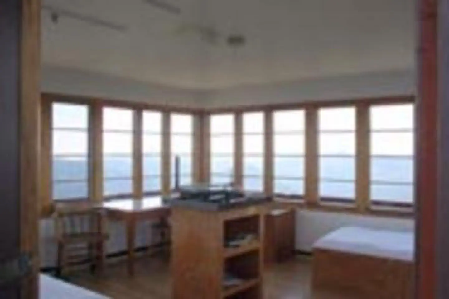
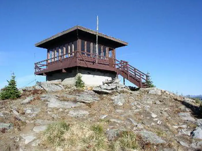
Overview Shorty Peak Lookout, 45 miles northwest of Bonners Ferry, sits atop Shorty Peak with views of the Selkirk and Purcell mountain ranges of Northern Idaho, Montana, and British Columbia. The rustic dwelling was once used to patrol forest fires, and is now a unique way for overnight guests to escape the city and become enthralled with 360 degree views of area's magnificence. Access requires a moderate to steep 2.5 mile hike with a 1,300 foot elevation gain. The lookout was refurbished in 2005 and is in excellent condition. Recreation The 2.5 mile hike up to Shorty Peak is part of the fun of staying at the cabin. The trail is also open to horseback riding. While here, landscape photography and wildlife viewing are popular pastimes. Birding is particularly popular and guests may have the chance to look down on some birds of prey. Look for red-tailed hawks, golden eagles, and goshawks soaring over the valleys. Clear nights offer prime stargazing opportunities. Facilities The 15' X 15' cabin sits atop a 5 foot foundation and can accommodate two overnight guests. The look of the interior is modern with hardwood floors. Two twin beds with pads, two chairs, two tables, a historic fire finder, and a district map are included inside the cabin. A pit toilet is within 100 yards of the lookout. No drinking water or electricity is available. Guests are asked to bring plenty of water, food, bedding, a first aid kit and all other basic camp gear. Horses are allowed, but no corrals or hitching racks are available. Hobbles are recommended for horses. Natural Features Shorty Peak lookout is located in the Lower Kootenai River Area (Bonners Ferry District) of the Idaho Panhandle National Forest. The land is bordered by the Purcell and Cabinet Ranges and the Montana Line on the east, the rugged Selkirk Range on the west, and the Canadian border to the north. The 360-degree unobstructed vista from Shorty Peak Lookout is exceptional, with views of Kootenai Valley, U.S. and Canadian Selkirks, Smith Creek and Cow Creek drainage areas, Red Top Mountain, and the higher Lone Tree Peak a mile to the west. Elk, deer and black bears are among the wildlife in the area. This is bear country, both grizzly and black. The Forest Service recommends that you be able to distinguish between them. Please be aware of and practice bear safety while camping in this area. Nearby Attractions The nearest location for a convenience store is the Canadian border. A more cost effective location for groceries and gear is in Bonners Ferry, about 50 miles from the lookout.
From the USFS.Official page
Is SHORTY PEAK LOOKOUT free?
No. SHORTY PEAK LOOKOUT charges a fee. It is managed by the USFS. Sites are reservable through recreation.gov.
How do I get to SHORTY PEAK LOOKOUT?
From the Bonners Ferry Ranger Station: Take Highway 95 north for 17 miles. Turn left onto Highway 1 and head north for 2 miles. Turn left onto Copeland Road and head west for 4 miles. Stay right at the T junction and continue north on Westside Road for 9 miles. Stay to the left around the switchback, onto Forest Road 281, then drive west for 8 miles. Turn right on Road 655 and drive west 1.5 miles. Stay right again at the switchback, heading east 1 mile on Rd 282. Go straight at the next junction, and continue northeast on Road 282 for 4 miles. Park at the trailhead on top of the saddle before the locked gate. Hike 2.5 miles up the trail to the west to reach the lookout.
What are the rules at SHORTY PEAK LOOKOUT?
Dogs are not allowed in any of our cabins, lookouts or historic recreation areas that are available for reservation.
Nearby
- Trapper Campground13.6 mi
- Geisinger Campground14.2 mi
- Navigation Campground14.2 mi
- Plowboy Campground14.7 mi
- Beaver Creek Campground16.2 mi
- BEAVER CREEK (IDAHO)16.5 mi
- Brush Lake Picnic Area16.7 mi
- Robinson Lake Campground21.5 mi
No other services within 50 mi on the record.
SourceData from the USFS. Last synced September 19, 2026. Community reports and photos are submitted by travelers and are not verified by the agency.
