
SHORELINE
USFS · Campground · Fee
Fast facts
- Cost
- Fee charged
- Managed by
- USFS
- Type
- Campground
- Reservations
- recreation.gov
- Phone
- 208-382-7400
- Nearest dump station
- Redfish RV Dump Site · 50.8 mi
- Coordinates
- 44.6542, -115.6647
- Last verified
- September 19, 2026
About this place
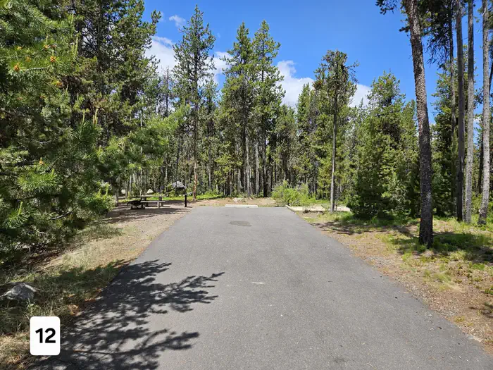
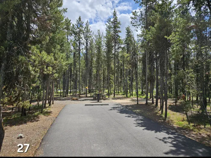
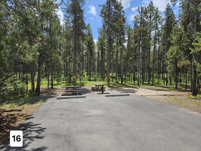
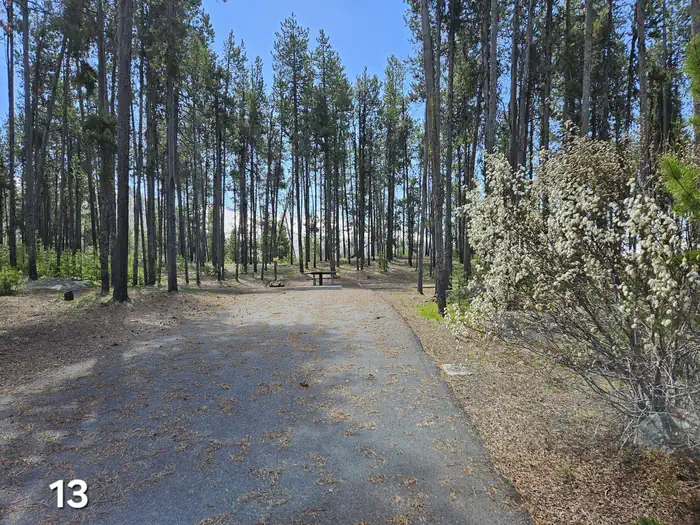
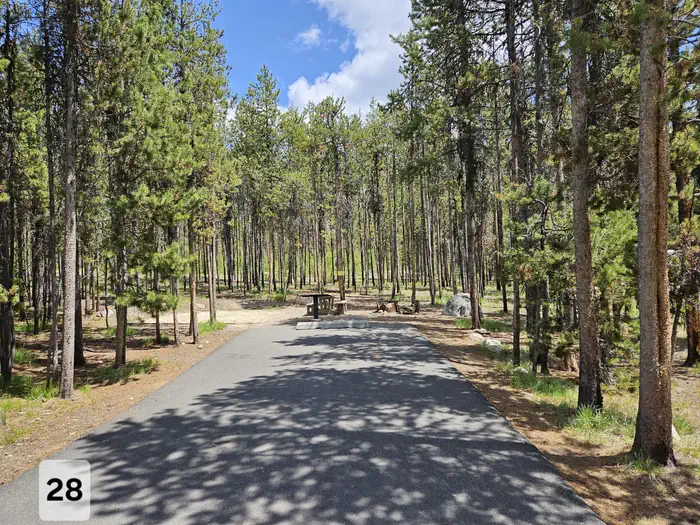
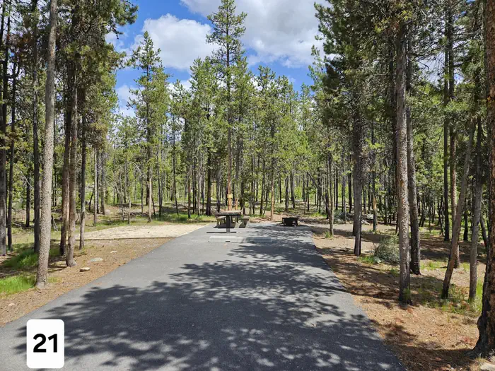
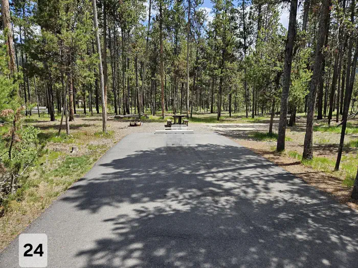
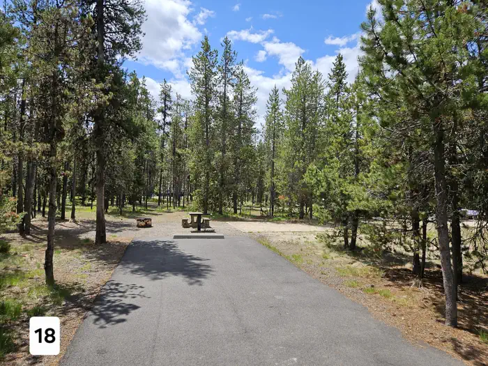
Overview Shoreline Campground is located just across the road from beautiful Warm Lake, at an elevation of 5,300 feet. Visitors enjoy boating, fishing, swimming, hiking and viewing local wildlife. Recreation Warm Lake offers great fishing opportunities for cutthroat, rainbow, lake and bull trout. Boating, canoeing and swimming are popular activities. Billy Rice Swim Beach is nearby, offering a day-use site for picnicking and swimming. A boat ramp is located just across the road from the campground. The surrounding area offers great hiking, mountain biking, horseback and off-road vehicle riding, and hunting. The WeWuKiye (Wa Wu Kia) Trail No. 252 is popular among hikers and mountain bikers. It was recently built and can be accessed at the campground's entrance. For off-road vehicle enthusiasts, Telephone Ridge Trail No. 112 offers 20 miles of trails for all riding levels, with staging areas within the campground and at Warm Lake Campground just down the road. Facilities The campground contains several single and double campsites, most of which are accessible. An accessible group site with picnic shelter is also available and can accommodate up to 50 people. A volleyball court and horseshoe pits are located next to the group site. Picnic tables, campfire rings and grills are available at the campsites. Vault toilets and drinking water are also provided. There is no electricity at the campground. Natural Features The campground is situated in a mixed-growth lodgepole pine forest, which offers partial shade. Summer wildflowers are abundant in the area. A variety of wildlife including bears, deer, elk, fox, grouse, eagles, osprey, grosbeaks, whooping cranes and otters, lives around the lake.
From the USFS.Official page
Is SHORELINE free?
No. SHORELINE charges a fee. It is managed by the USFS. Sites are reservable through recreation.gov.
How do I get to SHORELINE?
SHORELINE is at 44.6542, -115.6647. We do not hold written directions for this one, so navigate to the coordinates.
Nearby
SourceData from the USFS. Last synced September 19, 2026. Community reports and photos are submitted by travelers and are not verified by the agency.
