
SAGEHEN CREEK
Campground · Fee not listed
Fast facts
- Cost
- Not listed. Check locally.
- Type
- Campground
- Phone
- 541-351-1182
- Nearest dump station
- Redfish RV Dump Site · 63.8 mi
- Coordinates
- 44.3350, -116.1775
- Last verified
- September 19, 2026

About this place
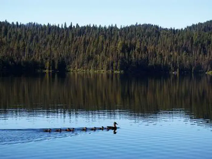
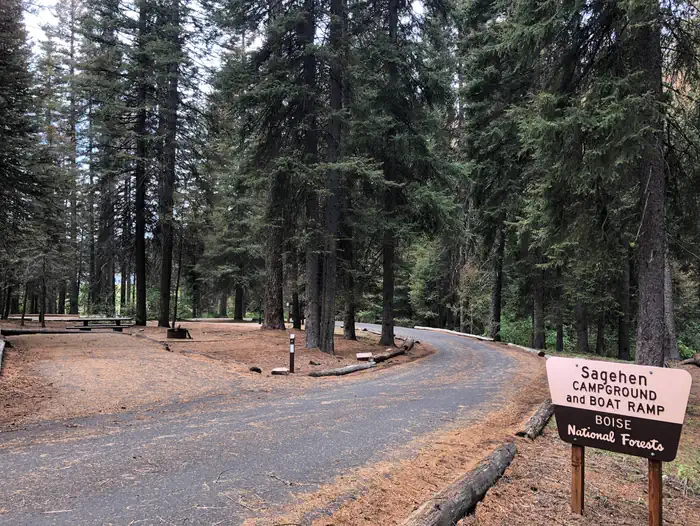
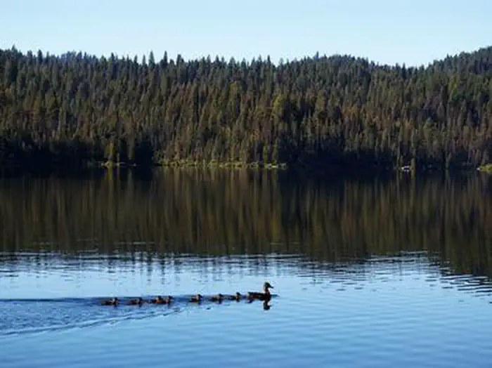
Overview Sagehen Creek Campground is located on the shores of the scenic Sagehen Reservoir at an elevation of 4997 feet. Visitors enjoy boating, fishing, exploring Joe's Creek Trail, as well as utilizing the non-motorized Sagehen Reservoir Trail. Recreation Sagehen Reservoir offers great boating, canoeing, and rainbow trout fishing. A boat ramp and dock are located within the campground.There is a 15 mph speed limit on the reservoir. Hiking, biking, horse, and ATV trails are abundant in the area, including Joe's Creek Trail, which begins not far from the campground. The Sagehen Reservoir Trail, a 4-mile loop around the lake, offers great fishing spots, beautiful viewpoints and wildlife watching opportunities for hikers, mountain bikers and horseback riders. The Sagehen and KYAOTT ATV Trail Systems can be accessed near the reservoir, offering more than 35 miles of trails for ATVs and motorcycles, but hikers, mountain bikers and horseback riders can enjoy these trails as well. Facilities The campground contains several single-family sites, a few of which are accessible, all with picnic tables and campfire rings. Vault toilets and hand-pumped drinking water are provided. Firewood is available for purchase from the host. Natural Features The campground is situated in a forest of towering Ponderosa pine, Engelmann spruce, Douglas fir, and grand fir, which provide plentiful shade in most sites. Some sites afford lake views. Summer temperatures range from 80 to 90-degree days to cooler nights. A variety of berries and mushrooms can be found throughout the area. Local wildlife includes deer, elk, black bear, goshawk, woodpeckers, and boreal owls.
From the managing agency.
Is SAGEHEN CREEK free?
We do not have a fee on record for SAGEHEN CREEK. Confirm the cost locally before you go.
How do I get to SAGEHEN CREEK?
SAGEHEN CREEK is at 44.3350, -116.1775. We do not hold written directions for this one, so navigate to the coordinates.
Nearby
SourceSource data is agency published. Last synced September 19, 2026. Community reports and photos are submitted by travelers and are not verified by the agency.
