
RATTLESNAKE
USFS · Campground · Fee
Fast facts
- Cost
- Fee charged
- Managed by
- USFS
- Type
- Campground
- Reservations
- recreation.gov
- Phone
- 541-351-1182
- Nearest dump station
- Redfish RV Dump Site · 48.4 mi
- Coordinates
- 44.2659, -115.8800
- Last verified
- September 19, 2026
About this place
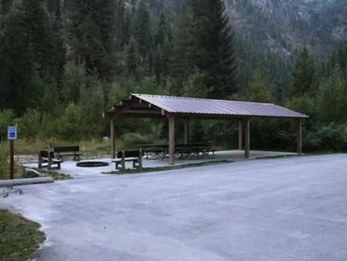
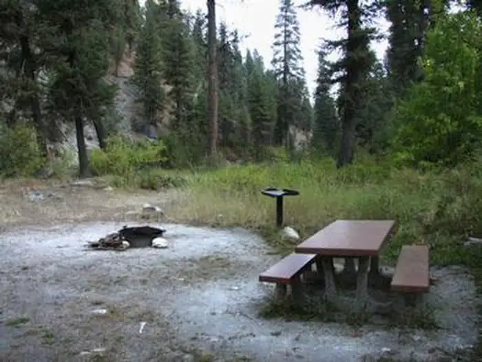
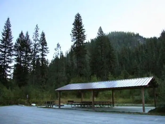
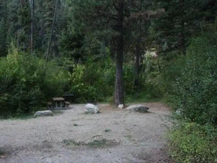
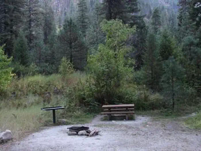
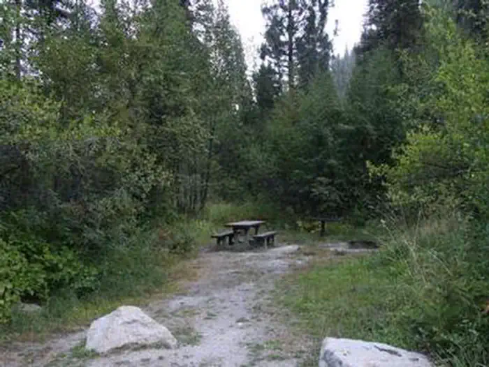
Overview Rattlesnake Campground is located 13 miles north of Crouch, Idaho along the Middle Fork Payette River at an elevation of 3621 feet. The Middle Fork drainage offers a variety of excellent trails. Fishing and hunting are popular activities as well. Recreation The Middle Fork Payette River offers good to excellent fishing most of the year. Anglers cast for whitefish and rainbow trout. Many trails for hiking, mountain biking, horseback and ATV riding can be found in the area. The One Spoon Trail, Rattlesnake Trail, and 465 ATV Trail are all in the vicinity of the campground. In-season big game hunting for deer, elk and bear is a popular activity in the surrounding mountains. Facilities The campground can be reserved as one large, accessible group site, which consists of nine single sites and one double site. This group site can accommodate up to 100 people. A two night minimum stay is required on weekends. A three night minimum stay is required on holiday weekends. Picnic and utility tables, campfire rings and a picnic shelter are provided. Two accessible vault toilets are also provided. Ten parking spurs are available, each 50-75' in length. Additional camping is available at nearby Hardscrabble and Trail Creek Campgrounds. Natural Features The campground is situated on the banks of the Middle Fork Payette River among Douglas fir and lodgepole pine trees, which offer partial shade. A few sites offer river views through the dense vegetation on the banks. A variety of wildlife makes its home in the Middle Fork drainage, including deer, elk, and red-tailed hawks.
From the USFS.Official page
Is RATTLESNAKE free?
No. RATTLESNAKE charges a fee. It is managed by the USFS. Sites are reservable through recreation.gov.
How do I get to RATTLESNAKE?
RATTLESNAKE is at 44.2659, -115.8800. We do not hold written directions for this one, so navigate to the coordinates.
Nearby
SourceData from the USFS. Last synced September 19, 2026. Community reports and photos are submitted by travelers and are not verified by the agency.
