
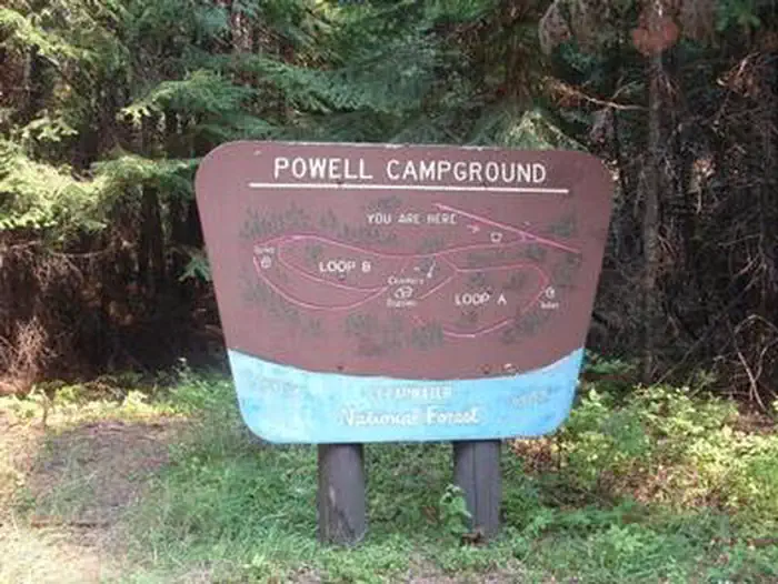
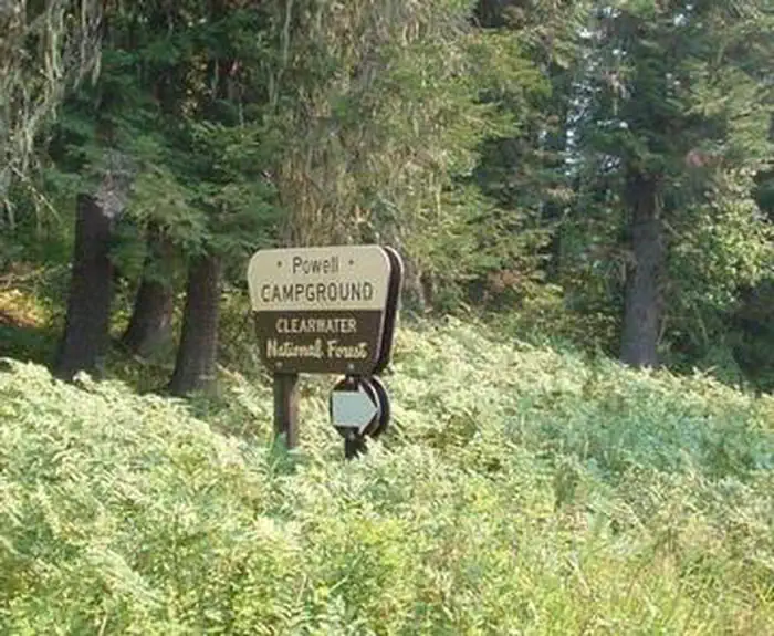
POWELL CAMPGROUND
USFS · Campground · Fee
Fast facts
- Cost
- Fee charged
- Managed by
- USFS
- Type
- Campground
- Nearest dump station
- Cedar Flats Dump Station · 48.8 mi
- Coordinates
- 46.5123, -114.7172
- Last verified
- September 19, 2026
About this place
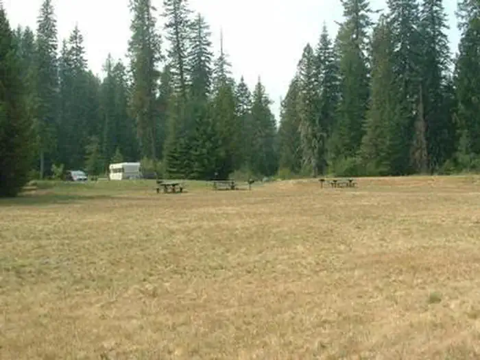
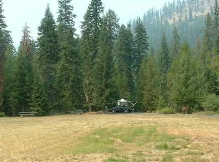
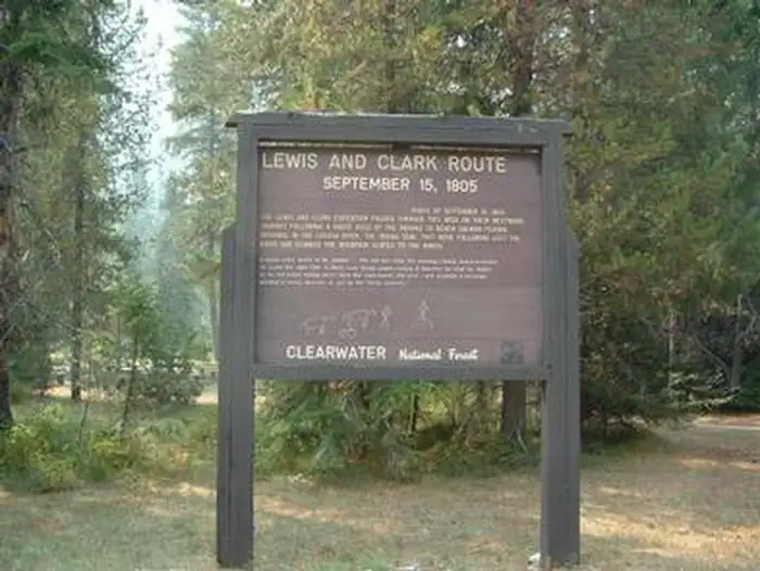
Overview Powell Campground provides direct access to the Lochsa Wild and Scenic River, one of Idaho's most scenic waterways. The Selway-Bitterroot Wilderness lies on the opposite side of the river. The campground is within walking distance of a small general store, fuel, lodging and a restaurant. The Powell Ranger Station is nearby as well, but all visitor services have moved to Lolo Pass Visitor Center. Recreation The Lochsa River provides visitors with opportunities for fishing and other water-related recreation. Cutthroat and rainbow trout, Chinook salmon and steelhead swim in the clear waters. The Lochsa is world-famous for its exciting whitewater rafting opportunities. A permit is not necessary to float the river, but technical expertise is a must. A variety of hiking and horseback riding trails are available in the wilderness area. The 1.5-mile Powell Complex Trail begins near the campground and leads west through cool, shady cedar and larch trees, making for a relaxing day trip. Hunting is also a popular activity in the rugged and primitive landscape. Highway 12, also known as the Lewis and Clark Highway, winds along the narrow river canyon through evergreen trees and past large rock outcroppings. Visitors enjoy the scenic drive and historic sites along the way. Facilities The campground offers single-family sites for tent and RV camping. The sites in loop A offer electrical hookups (15 amp, 30 amp, and 50 amp.) Parking surfaces are paved throughout the campground. Additional sites are available on a first-come, first-served basis. Each site is equipped with a table and campfire ring with grill. Accessible vault toilets and drinking water (spigots are located in 5 sites throughout the campground and are not intended for hooking up to, the sites do not have water hookups) are provided throughout the campground. An accessible flush toilet is adjacent to the day use area. Firewood is not provided and it is often not available. Natural Features Lochsa is a Nez Perce word meaning "rough water." The 70-mile river and its tributaries have no dams and the flow is unregulated from its headwaters near the Powell Ranger Station in the Bitterroots, to Lowell, where it joins the Selway River to form the Middle Fork of the Clearwater River. The Lochsa is one of the world's best for continuous whitewater. The campground is situated in a dense forest in north-central Idaho at an elevation of 3,400 feet. It is across the river from the border of the 1.5-million acre Selway-Bitterroot Wilderness. Famed explorers Lewis and Clark passed through on their way to the Pacific Ocean in September of 1805. Elk, deer, moose, bear, cougar and mountain goats make the steep canyon country their home. Contact Info For facility specific information, please call (208) 942-3113. Nearby Attractions A variety of services are available in the rustic resort area near the campground including a general store, lodging, food and fuel. Fishing licenses are also available for purchase. The nearest free dump station is 40 miles west on Highway 12, at the Wilderness Gateway Campground.
From the USFS.
Is POWELL CAMPGROUND free?
No. POWELL CAMPGROUND charges a fee. It is managed by the USFS.
How do I get to POWELL CAMPGROUND?
POWELL CAMPGROUND is at 46.5123, -114.7172. We do not hold written directions for this one, so navigate to the coordinates.
Nearby
SourceData from the USFS. Last synced September 19, 2026. Community reports and photos are submitted by travelers and are not verified by the agency.
