
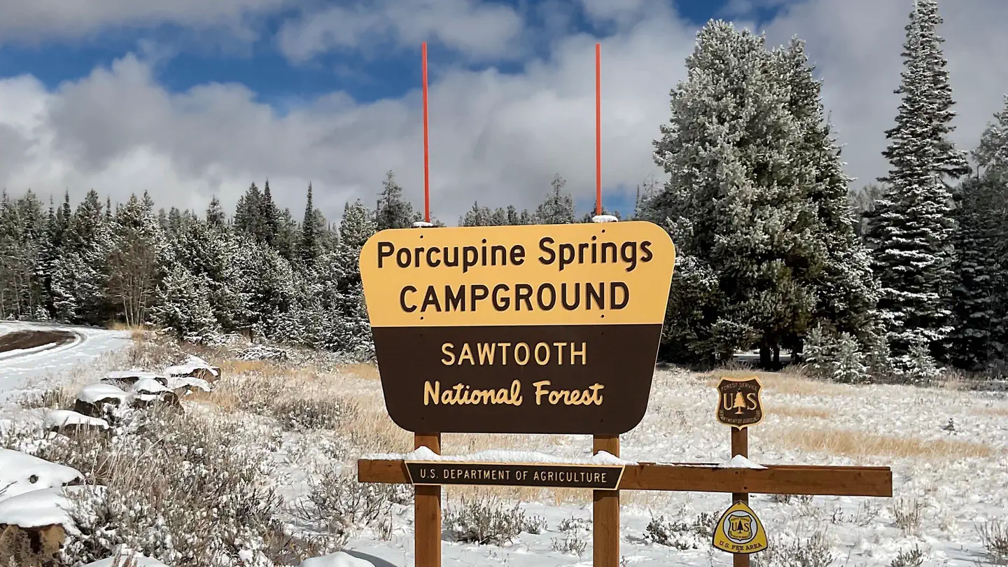
PORCUPINE SPRINGS
Campground · Fee not listed
Fast facts
- Cost
- Not listed. Check locally.
- Type
- Campground
- Coordinates
- 42.1669, -114.2622
- Last verified
- September 19, 2026
About this place
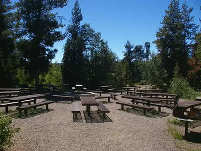
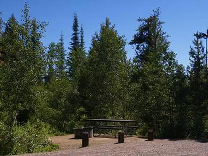
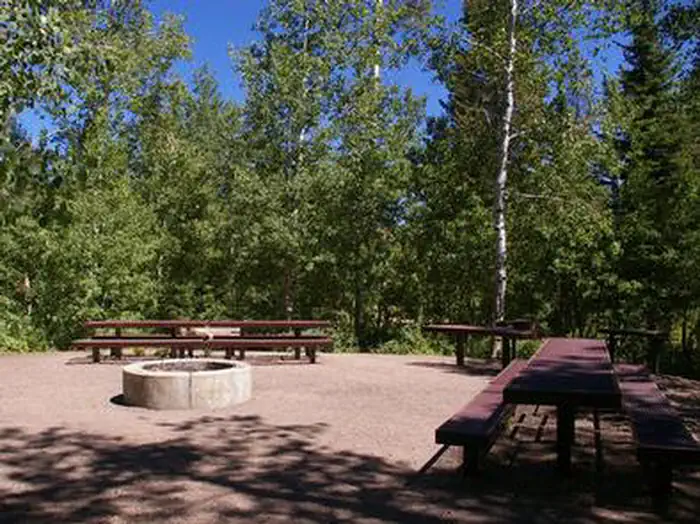
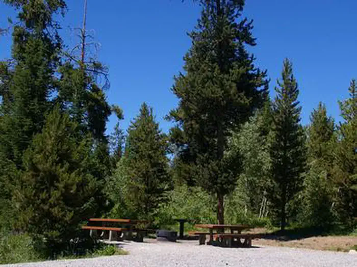
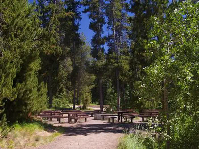
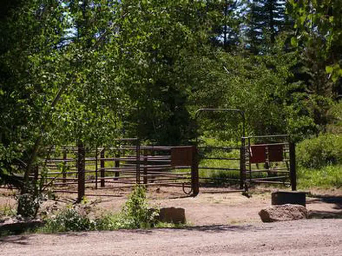
Overview Porcupine Springs Campground is located along the scenic Rock Creek Road, in southern Idaho. It sits at an elevation of 6,950 feet. Visitors enjoy the area for its abundance of trails and scenic beauty. Recreation Numerous hiking, biking, horseback riding and off-road vehicle trails begin within or near the campground, including Porcupine Springs, Ross Falls, Rim View, Pike Mountain and Third Fork trails. Fishing is popular on Rock Creek. Facilities This large campground contains three group sites that each accommodate up to 50 and 100 people. The recently updated sites are accessible and equipped with picnic tables, grills, serving and utility tables and campfire circles. The group site on Loop C has large corrals for horses. Several single-family campsites are available as well. Each is equipped with a picnic table, campfire ring, grill and a utility table. Additional sites not listed for reservation are available on a first-come, first-served basis. Accessible vault toilets and drinking water are provided. A campground host is located on-site. Roads and parking spurs within the campground are gravel. Natural Features The campground is situated in a scenic forest of pine and aspen trees. Summer wildflowers are vivid and abundant, and wildlife frequents the area.
From the managing agency.
Is PORCUPINE SPRINGS free?
We do not have a fee on record for PORCUPINE SPRINGS. Confirm the cost locally before you go.
How do I get to PORCUPINE SPRINGS?
PORCUPINE SPRINGS is at 42.1669, -114.2622. We do not hold written directions for this one, so navigate to the coordinates.
Nearby
- Porcupine Springs Campground0.0 mi
- Porcupine Springs Campground0.1 mi
- DIAMONDFIELD JACK CAMPGROUND0.8 mi
- Diamondfield Jack Campground0.8 mi
- PETTIT CAMPGROUND1.5 mi
- Pettit Campground1.5 mi
- LOWER PENSTEMON2.2 mi
- UPPER PENSTEMON CAMPGROUND2.2 mi
No other services within 50 mi on the record.
SourceSource data is agency published. Last synced September 19, 2026. Community reports and photos are submitted by travelers and are not verified by the agency.
