
OHARA
USFS · Campground · Fee
Fast facts
- Cost
- Fee charged
- Managed by
- USFS
- Type
- Campground
- Reservations
- recreation.gov
- Phone
- 208-926-4258
- Nearest dump station
- Cedar Flats Dump Station · 1.2 mi
- Coordinates
- 46.0875, -115.5139
- Last verified
- September 19, 2026
About this place
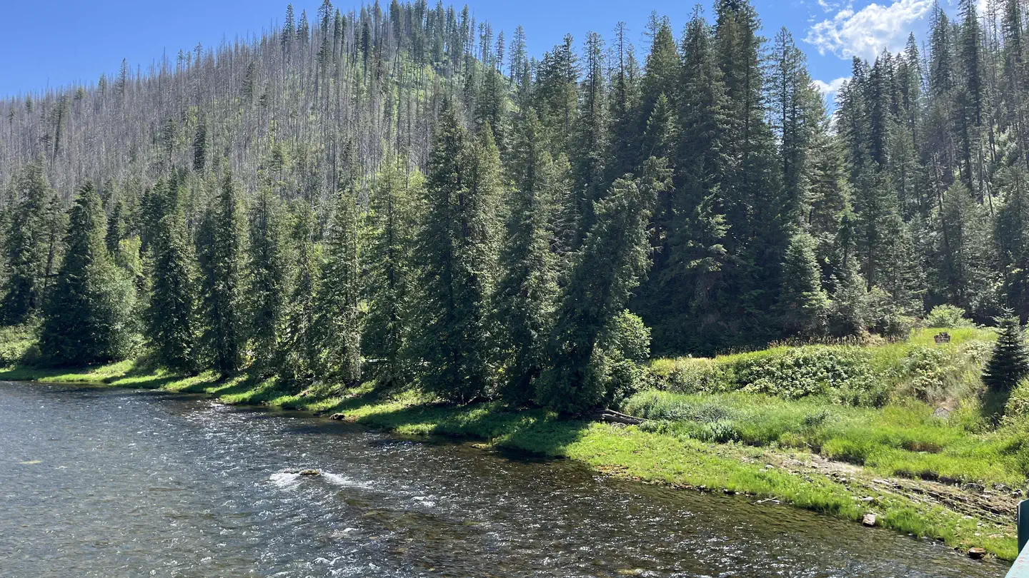
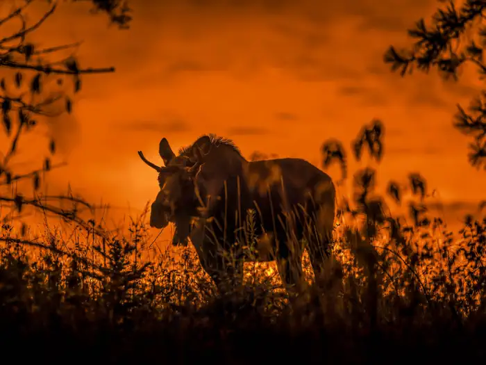
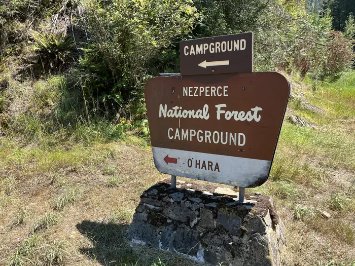
Overview O'Hara Campground sits along the Selway River amid lush vegetation and old cedar trees. This is the largest campground on the Selway, with 32 sites, and makes a great base for exploring all the recreational activities and attractions in the area. *Water is currently unavailable at this campground as it is under maintenence for the 2024 season. Water and dump station can be found at Cedar Flats, 1.5 miles from campground on Selway Road. Recreation The Selway River is a destination fly fishing experience for cutthroat and rainbow trout and is also well-known for whitewater rafting. Several trailheads for hiking and biking can be accessed from Selway River Road and lead into the Selway-Bitterroot Wilderness area. Facilities The campground offers single-family sites, many of which are accessible. Each site is equipped with a picnic table, campfire ring and paved parking spur. Vault toilets, drinking water and bear-resistant dumpsters are provided. Natural Features In the heart of north central Idaho, rugged peaks, deep canyons, dense forests and remote wilderness comprise the Nez Perce National Forest. Due in large part to dramatic elevational differences, the forest supports a wide variety of vegetation, from cedar groves to desert ecosystems. O'Hara is located in the Selway Wild and Scenic River Corridor, an area known for its rugged natural beauty and wildlife. Nearby Attractions An 11 mile sightseeing drive from Lowell to Selway Falls offers visitors opportunities to appreciate the pristine beauty of the Selway Wild and Scenic River and picturesque Selway Falls. O'Hara is near the Fenn Ranger Station, which is on the National Register of Historic Places.
From the USFS.Official page
Is OHARA free?
No. OHARA charges a fee. It is managed by the USFS. Sites are reservable through recreation.gov.
How do I get to OHARA?
OHARA is at 46.0875, -115.5139. We do not hold written directions for this one, so navigate to the coordinates.
Nearby
SourceData from the USFS. Last synced September 19, 2026. Community reports and photos are submitted by travelers and are not verified by the agency.
