
NORTH FORK (ID)
Campground · Fee not listed
Fast facts
- Cost
- Not listed. Check locally.
- Type
- Campground
- Phone
- 928-537-8888
- Nearest dump station
- North Fork RV Dump Site · 0.3 mi
- Coordinates
- 43.7883, -114.4244
- Last verified
- September 19, 2026
About this place
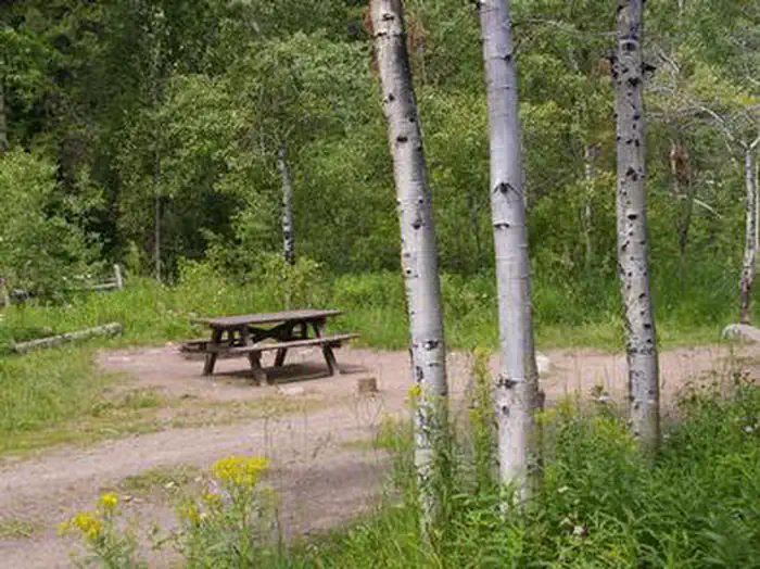
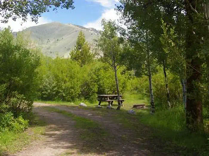
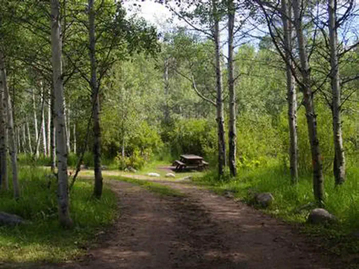
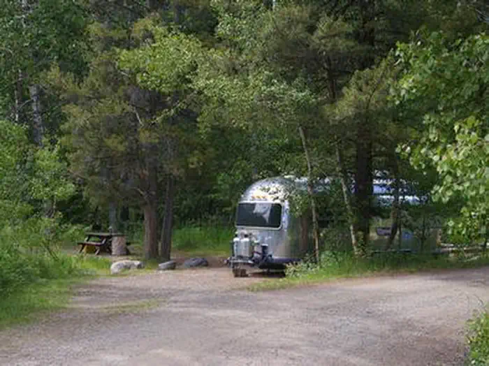
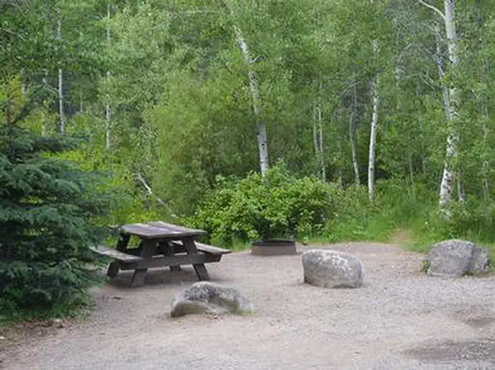
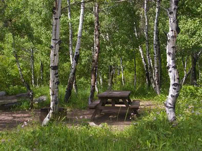
Overview North Fork Campground is situated on the banks of the beautiful Big Wood River at an elevation of 6,300 feet. Visitors enjoy fishing and tubing on the river and exploring the Harriman Trail. Recreation This site is part of the Sawtooth National Recreation Area, where outdoor activities abound. Fly-fishing for rainbow, brown and brook trout is popular on the Big Wood River, as is float tubing. The 20-mile Harriman Trail leads past the campground, offering excellent hiking and biking. Numerous additional trails spur off the Harriman Trail leading to deep canyons, sparkling lakes, swimming holes and more excellent high country fishing. Facilities The campground contains several family sites, some of which are offered on a first-come, first-served basis. Vault toilets and drinking water are provided. Firewood is available for purchase from the host. Roads and parking spurs are gravel. Natural Features A scenic aspen forest covers North Fork, offering plentiful shade. Pines dot the landscape and colorful summer wildflowers are abundant. Willows and grasses line the riverbank. Temperatures are cool with an average summer high of 78 degrees and a low of 40 degrees. Nearby Attractions The Sawtooth National Recreation Area Visitor Center is 1/2-mile from the campground, with a small museum, bookstore and area information. An RV dump station and drinking water are located here as well. Easley Hot Springs is 6 miles north, offering a swimming pool, hot tubs, showers and a small store. Popular area events include Wagon Days in Ketchum in September.
From the managing agency.
Is NORTH FORK (ID) free?
We do not have a fee on record for NORTH FORK (ID). Confirm the cost locally before you go.
How do I get to NORTH FORK (ID)?
NORTH FORK (ID) is at 43.7883, -114.4244. We do not hold written directions for this one, so navigate to the coordinates.
Nearby
SourceSource data is agency published. Last synced September 19, 2026. Community reports and photos are submitted by travelers and are not verified by the agency.
