
MINTON PEAK LOOKOUT
USFS · Campground · Fee
Fast facts
- Cost
- Fee charged
- Managed by
- USFS
- Type
- Campground
- Phone
- 406-827-3533
- Coordinates
- 47.8284, -115.7710
- Last verified
- September 19, 2026




About this place
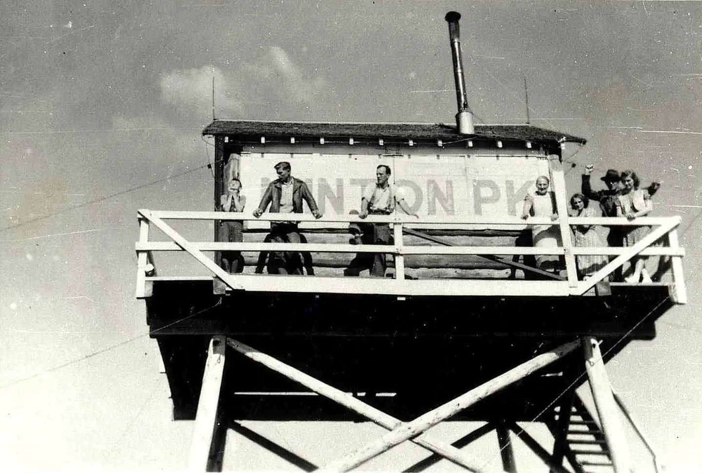
Overview Minton Peak Lookout is situated in the Rocky Mountains at an elevation of 5,351 feet in the Kootenai National Forest. The original lookout was constructed in 1932, replaced in 1968, and completely rebuilt in 2011. The mountain was named after Col. David Minton, an Ohio cavalryman who homesteaded (and is buried) near the mouth of Minton Creek. The lookout is typically open from late June through mid-October and is accessible by car. This rustic retreat offers a few amenities, but guests should pack in most of their own supplies and gear. Recreation Mountain roads and scenic trails provide access to explore the area. Facilities The 14x14 foot cabin sits on a five foot tower. The lookout has windows on all sides and is encircled by a catwalk. The cabin sleeps four people and is equipped with two twin size beds with mattresses. Other amenities include a table and chairs, wood stove for heat, two-burner cooktop (propane not provided), broom and dustpan. Firewood is provided. An outhouse with a vault toilet and a campfire ring are located outside. The lookout does not have electricity or water. Guests should bring enough water for drinking, cooking and cleaning. Items such as cooking gear, bedding, lanterns, matches, extra toilet paper, trash bags, dish soap and towels are not available. Natural Features The lookout sits five feet off the ground and is surrounded by an evergreen forest. It offers panoramic views of the Clark Fork Valley, the Bitterroot Mountains to the west and the Cabinet Range to the east. This is an ideal vantage point to enjoy sunrises and sunsets and gaze out at starry skies on clear nights.
From the USFS.
Is MINTON PEAK LOOKOUT free?
No. MINTON PEAK LOOKOUT charges a fee. It is managed by the USFS.
How do I get to MINTON PEAK LOOKOUT?
MINTON PEAK LOOKOUT is at 47.8284, -115.7710. We do not hold written directions for this one, so navigate to the coordinates.
Nearby
- Marten Creek Campground3.9 mi
- Marten Creek Campground3.9 mi
- North Shore Campground6.8 mi
- GEM PEAK LOOKOUT RENTAL8.7 mi
- Berlin Flats Group Campground8.8 mi
- SEX PEAK. LOOKOUT RENTAL9.4 mi
- LITTLE GUARD LOOKOUT11.2 mi
- Jackpine Flats Campground11.5 mi
No other services within 50 mi on the record.
SourceData from the USFS. Last synced September 19, 2026. Community reports and photos are submitted by travelers and are not verified by the agency.
