
MANN CREEK CAMPGROUND
Campground · Fee not listed
Fast facts
- Cost
- Not listed. Check locally.
- Type
- Campground
- Coordinates
- 44.4122, -116.9101
- Last verified
- September 19, 2026
About this place
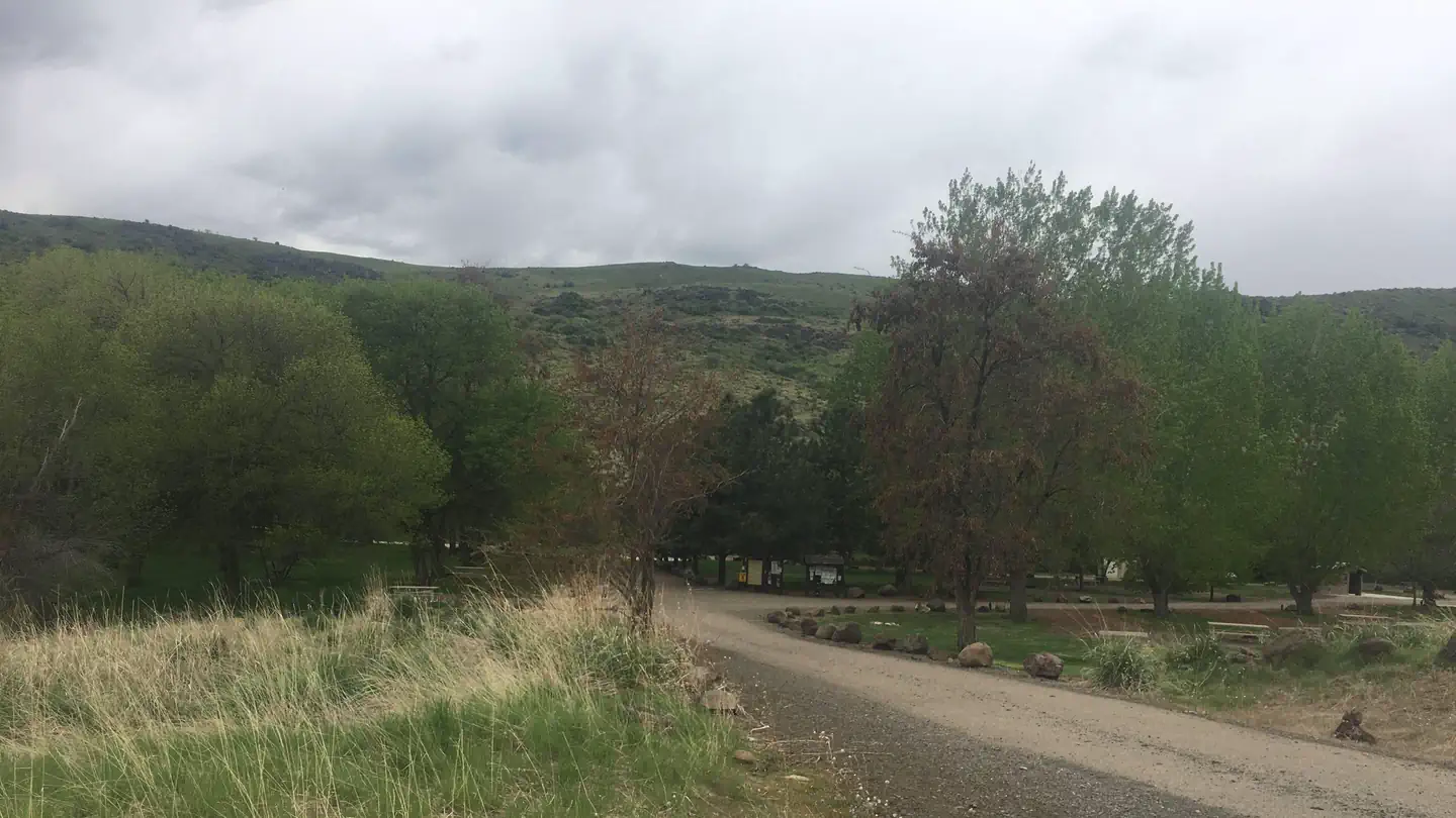
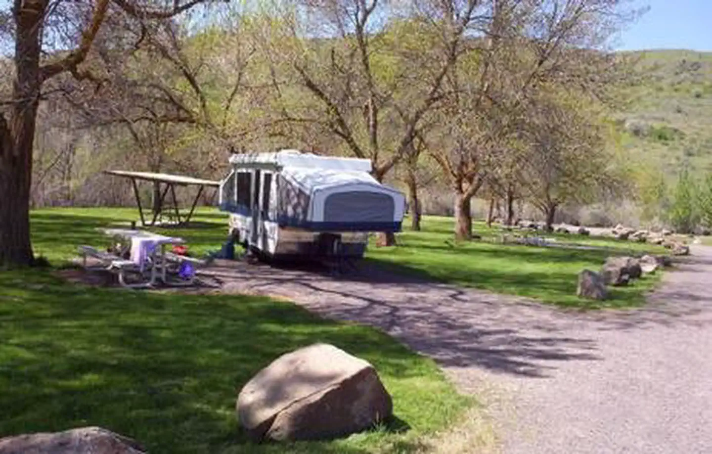
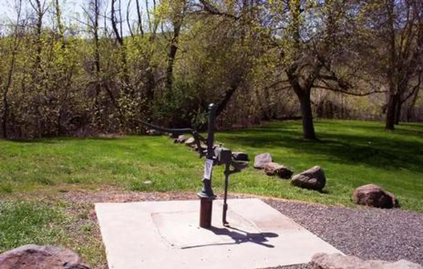
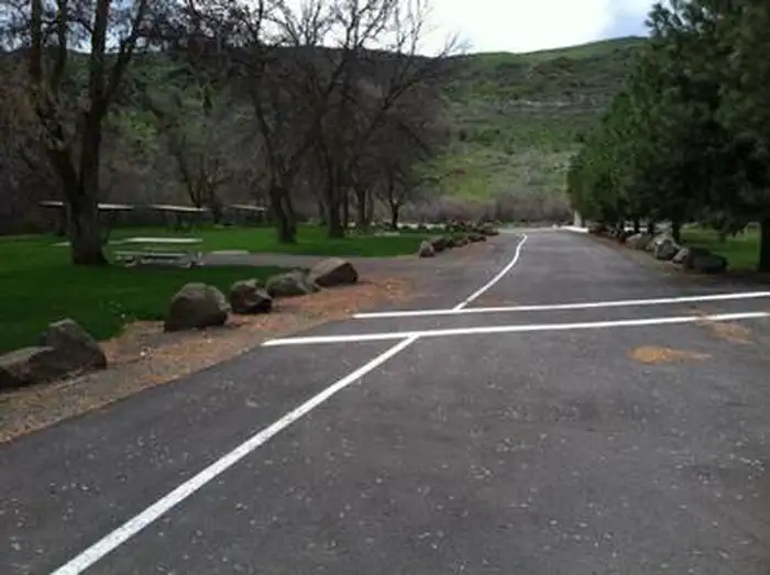
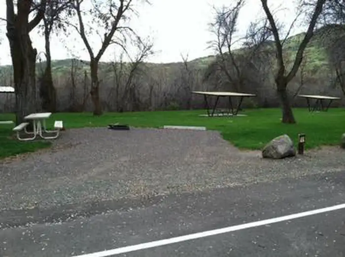
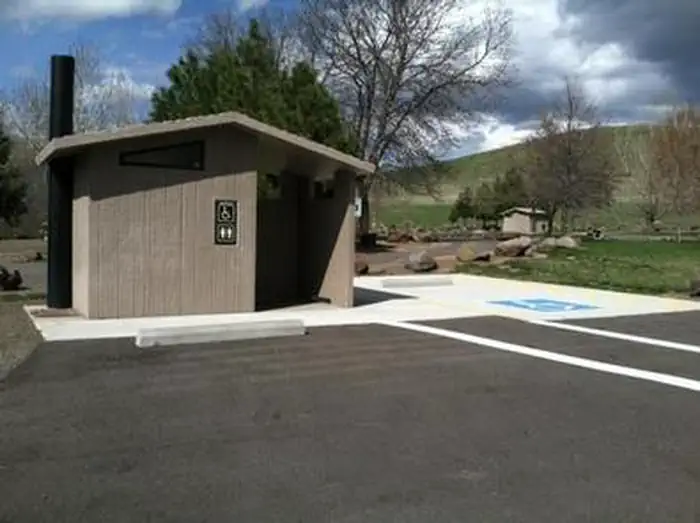
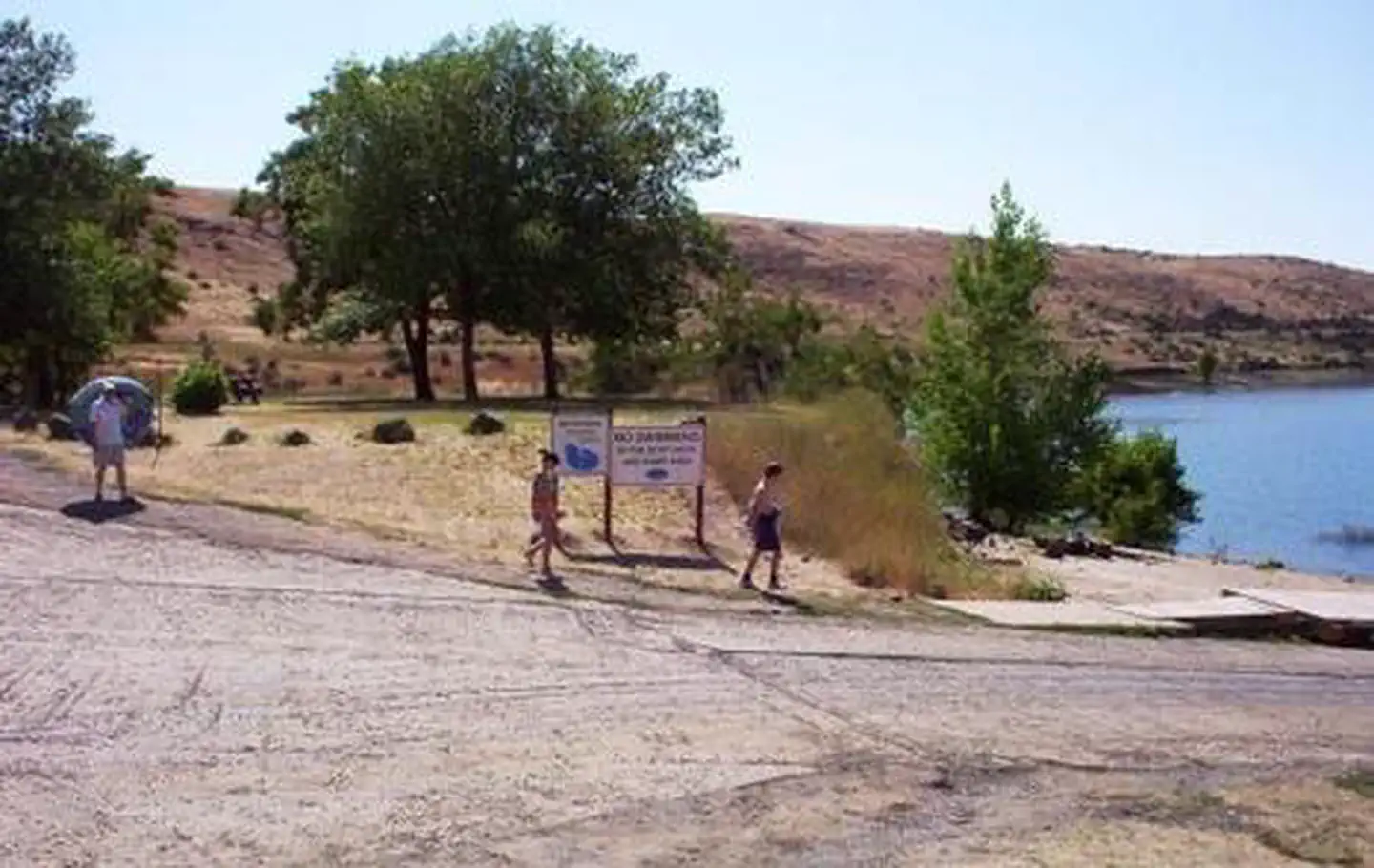
Overview Mann Creek Campground is located near the Mann Creek Reservoir in the foothills of the West Central Mountains in western Idaho near the Payette National Forest. The reservoir is a popular boating and fishing destination. Once on-site, you may be able to pay for your campsite(s) by scanning a QR code using the Recreation.gov mobile app, and the Scan and Pay feature. If this option is available, you will need to first download the free Recreation.gov mobile app https://www.recreation.gov/mobile-app prior to your arrival as some remote areas have limited or no cellular service. Recreation The reservoir offers 283 surface-acres of water and five miles of shoreline, although the water level fluctuates seasonally. Visitors enjoy boating, canoeing, swimming and trout fishing. Facilities The campground offers 13 sites, two of which are accessible and six sites are available for advanced reservations. Picnic tables, some of which are covered, and fire rings are provided, as are vault toilets and drinking water. Drinking water is often not available in late summer and fall; please call ahead to confirm availability. Roads and most parking spurs are gravel. The campground loop and two accessible sites are paved. Natural Features Mann Creek Reservoir lies in the rolling and arid foothills of the Hitt Mountains. At an elevation of 3,300 feet, the area is hot and dry in the summer months. Large shade trees help block some of the intense sun, but shade is limited. Contact Info For facility specific information, please call (208) 549-4200.
From the managing agency.
Is MANN CREEK CAMPGROUND free?
We do not have a fee on record for MANN CREEK CAMPGROUND. Confirm the cost locally before you go.
How do I get to MANN CREEK CAMPGROUND?
MANN CREEK CAMPGROUND is at 44.4122, -116.9101. We do not hold written directions for this one, so navigate to the coordinates.
Nearby
- Justrite Campground9.1 mi
- Paradise Campground9.3 mi
- SPRING CREEK CAMPGROUND11.1 mi
- Crane Creek Reservoir15.1 mi
- Spring16.4 mi
- Spring16.5 mi
- Spring16.5 mi
- Spring16.5 mi
No other services within 50 mi on the record.
SourceSource data is agency published. Last synced September 19, 2026. Community reports and photos are submitted by travelers and are not verified by the agency.
