
LUBY BAY
Campground · Fee not listed
Fast facts
- Cost
- Not listed. Check locally.
- Type
- Campground
- Phone
- 435-245-6521
- Coordinates
- 48.5403, -116.9253
- Last verified
- September 19, 2026
About this place
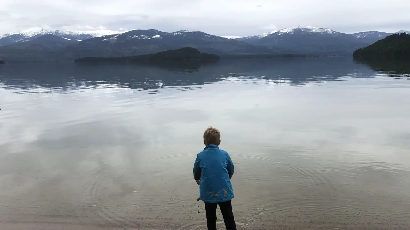
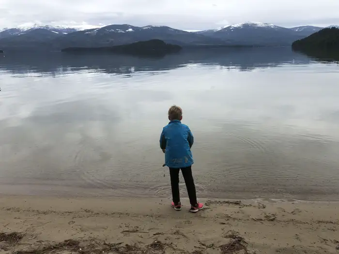
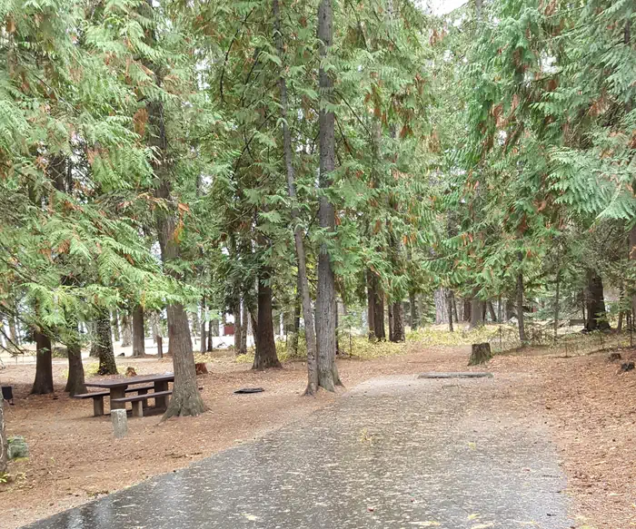
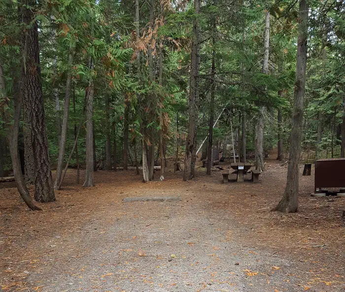
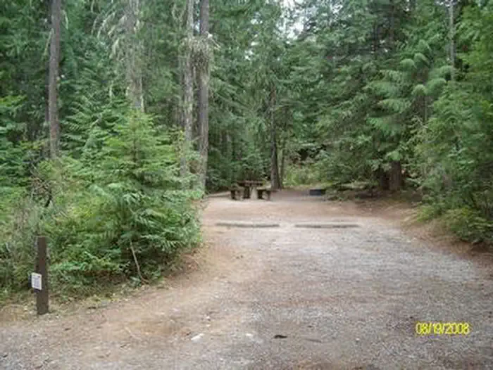
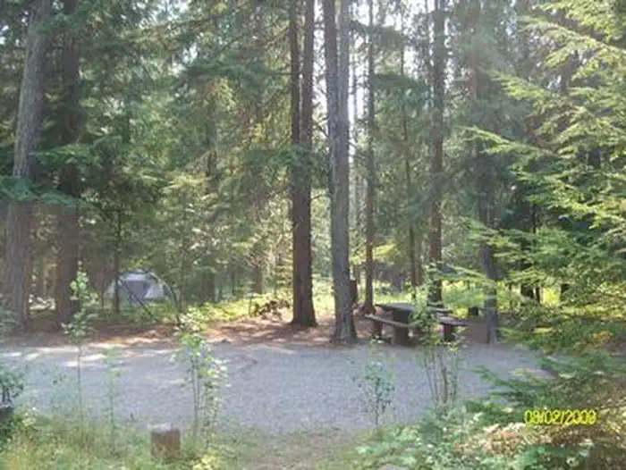
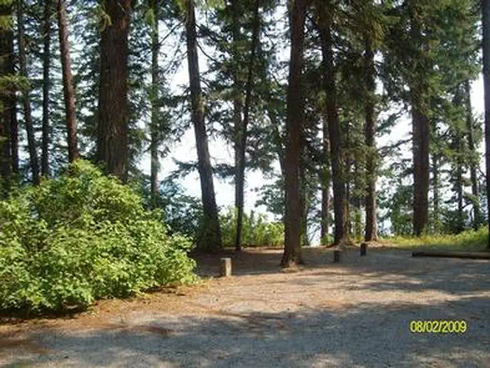
Overview Luby Bay Campground is located near both Lamb Creek and Priest Lake. The campground is densely wooded with nicely secluded sites, and is within easy access to many great views of the Selkirk Mountains. Recreation Visitors enjoy kayaking, canoeing and power boating up the 3.5-mile thoroughfare that leads to the Upper Priest Lake Scenic Area. The upper lake cannot be accessed by car. Fishing, swimming, birding and wildlife viewing are popular activities as well. The Beach Trail #48 can be accessed from the campground. The 8-mile scenic excursion loops around the southern part of Priest Lake. Facilities Luby Bay has an upper and lower section. Upper Luby Campground has paved roads and gravel parking spurs. Lower Luby has paved parking spurs and the option of waterfront sites. Campground amenities include water hydrants, flush toilets and a dual-bay RV dump station (an additional fee is required for the dump station). Lower Luby has a large day use area perfect for picnics and group functions. If you park to use day use area there is a parking fee of $8.00. If you walk from your campsite there is no fee to use the day use. An amphiteather is located in the recreation area and regularly hosts interpretive programs. Natural Features The campground sits at an elevation of 2,500 feet on the western shores of Priest Lake. Campsites are shaded by hemlock and cedar. Priest Lake consists of the main lake where most water recreation takes place. To the north, the lake connects via a narrow channel with Upper Priest Lake. Nearby Attractions Off-road vehicle enthusiasts will find authorized trails like the Peewee Trail, Steep Creek Trail and John Wayne Trail. In winter, hundreds of miles of groomed trails beckon nordic skiers and snowmobile riders.
From the managing agency.
Is LUBY BAY free?
We do not have a fee on record for LUBY BAY. Confirm the cost locally before you go.
How do I get to LUBY BAY?
LUBY BAY is at 48.5403, -116.9253. We do not hold written directions for this one, so navigate to the coordinates.
Nearby
- Luby Bay Campground0.6 mi
- Reynolds Creek Group Site1.3 mi
- OUTLET AT PRIEST LAKE2.1 mi
- Bartoo Island Sites2.1 mi
- KALISPELL ISLAND BOAT-IN CAMPGROUND2.2 mi
- Kalispell Island Campgrounds2.2 mi
- BARTOO ISLAND BOAT-IN CAMPGROUND2.8 mi
- Osprey Campground2.9 mi
No other services within 50 mi on the record.
SourceSource data is agency published. Last synced September 19, 2026. Community reports and photos are submitted by travelers and are not verified by the agency.
