
LORISTICA GROUP CAMPGROUND
USFS · Campground · Fee
Fast facts
- Cost
- Fee charged
- Managed by
- USFS
- Type
- Campground
- Reservations
- recreation.gov
- Nearest dump station
- North Fork RV Dump Site · 50.2 mi
- Coordinates
- 44.0228, -113.4669
- Last verified
- September 19, 2026
About this place
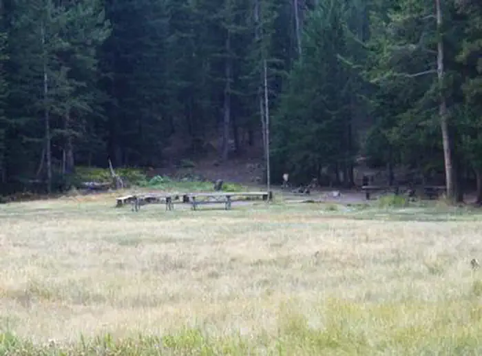
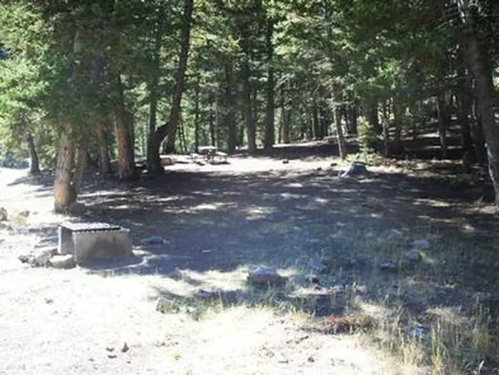
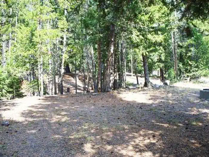
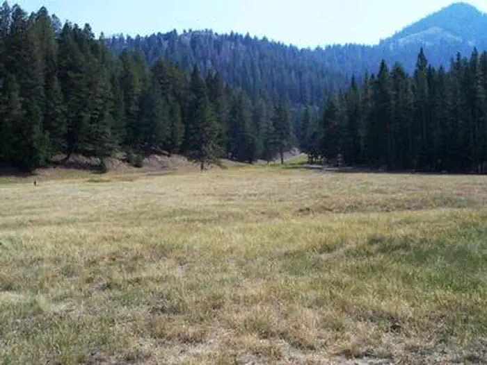
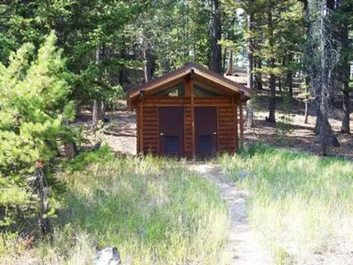
Overview Loristica Group Campground is located in a wooded meadow high in the Lost Creek Range, in eastern Idaho. It sits at an elevation of 8,100 feet. Visitors come to the area for its great trail opportunities and scenic beauty. Recreation Two trailheads can be accessed within a mile of the campground. The Bear-Wet Creek Trail is open to hiking, horseback riding and off-road vehicles. The Long Lost-Wet Creek Trail is a non-motorized trail leading to a high plateau with spectacular views of Little Lost and Big Mountain Ranges. Visitors should watch for bighorn sheep, deer and elk in the Big Creek area, along the trail. Facilities This rustic campground is a group reservation site that can accommodate up to 100 people among seven individual campsites. Though few amenities are present, picnic tables, fire rings and vault toilets are provided. An amphitheater with a campfire circle is also on-site. Natural Features The campground is situated among Douglas fir, lodgepole pine and aspen trees. A variety of wildlife, including deer, elk, bears, foxes and coyotes, makes its home in the surrounding area.
From the USFS.Official page
Is LORISTICA GROUP CAMPGROUND free?
No. LORISTICA GROUP CAMPGROUND charges a fee. It is managed by the USFS. Sites are reservable through recreation.gov.
How do I get to LORISTICA GROUP CAMPGROUND?
LORISTICA GROUP CAMPGROUND is at 44.0228, -113.4669. We do not hold written directions for this one, so navigate to the coordinates.
Nearby
SourceData from the USFS. Last synced September 19, 2026. Community reports and photos are submitted by travelers and are not verified by the agency.
