
HOWERS
USFS · Campground · Fee
Fast facts
- Cost
- Fee charged
- Managed by
- USFS
- Type
- Campground
- Reservations
- recreation.gov
- Nearest dump station
- Redfish RV Dump Site · 38.2 mi
- Coordinates
- 44.3236, -115.6486
- Last verified
- September 19, 2026

About this place
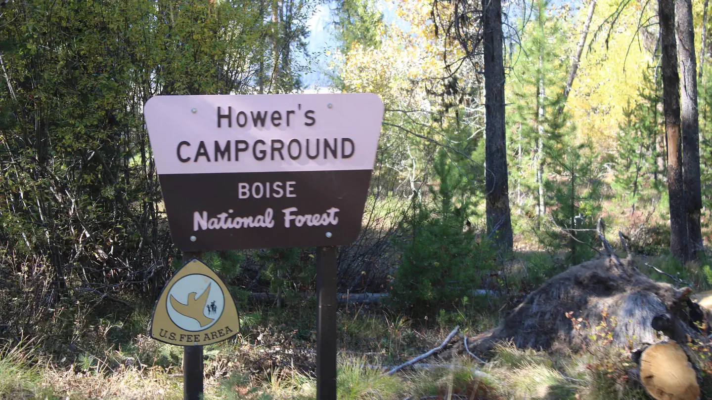
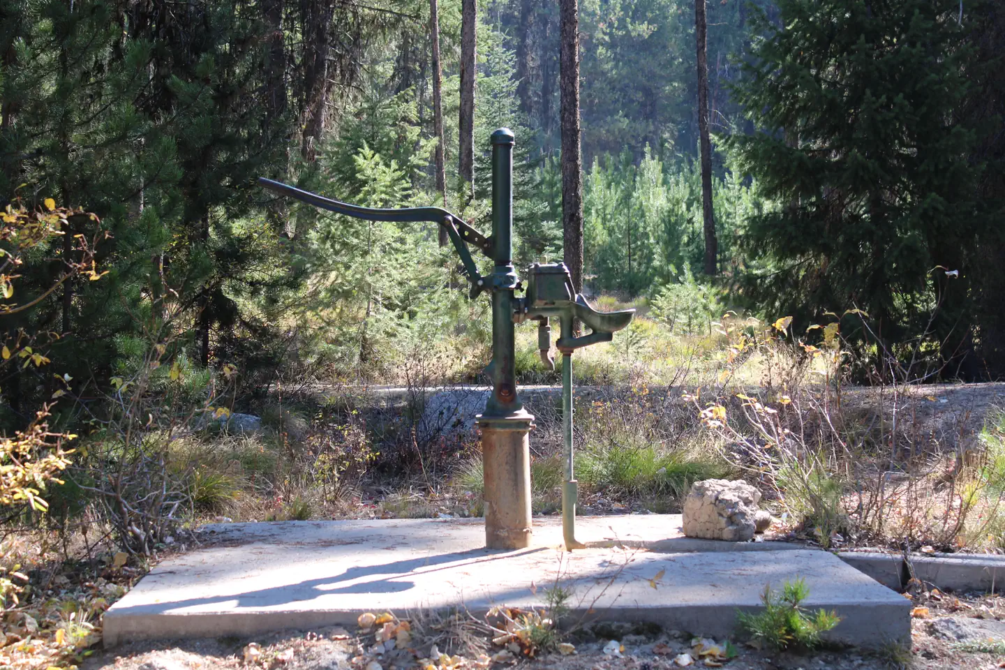
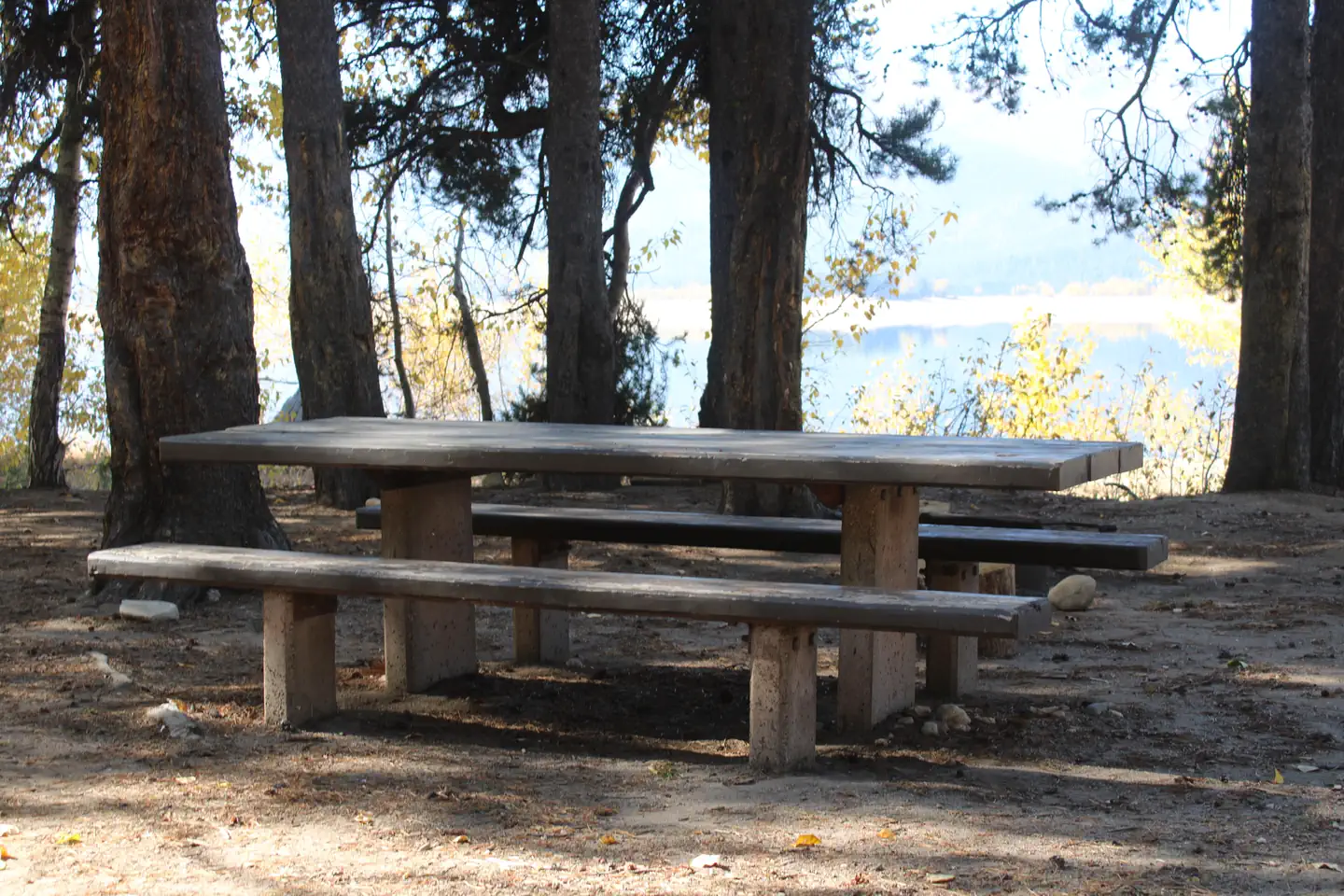
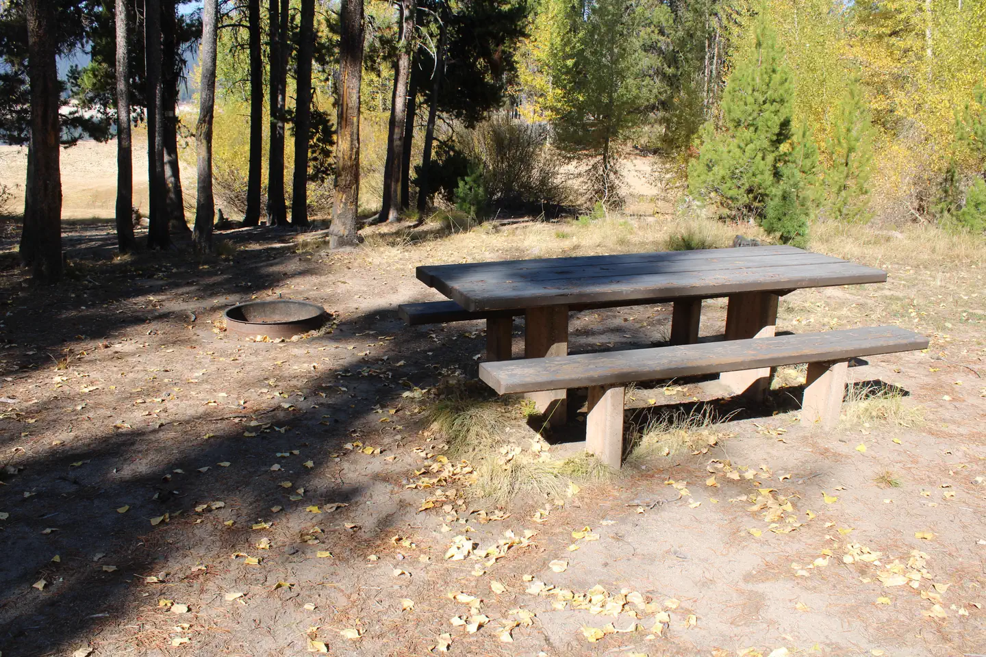
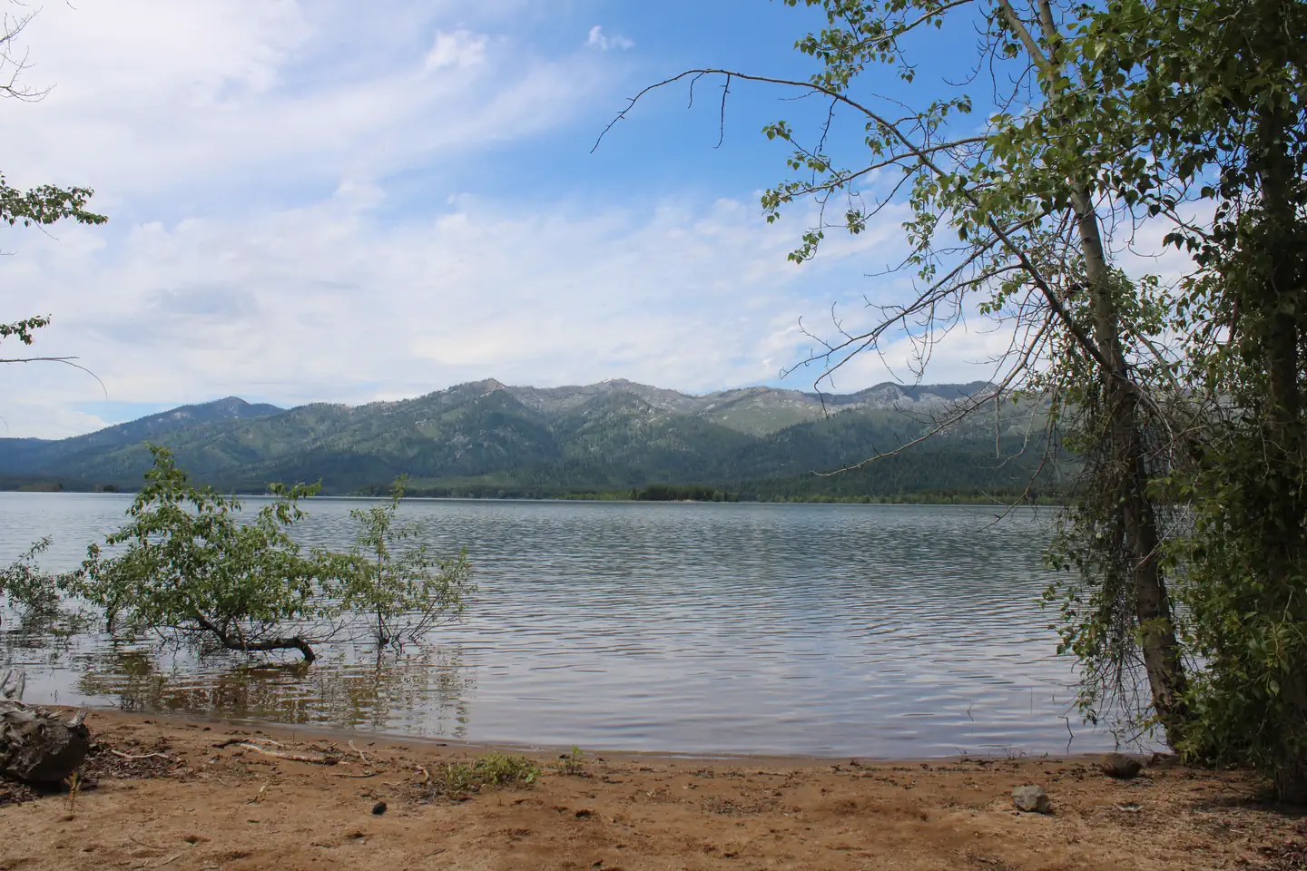
Overview Howers Campground is located on the northeast shore of the scenic Deadwood Reservoir in western Idaho. Boating, fishing and hiking are popular activities in this remote area. Please click here for further information about the facility and recreation opportunities in the area. Recreation Because of its remote location, Deadwood Reservoir is quiet and unpopulated, making for great fishing for Chinook and Kokanee salmon, as well as rainbow and cutthroat trout. Boating, water skiing, canoeing and kayaking are popular on the lake, and a boat ramp is located about two miles away at Cozy Cove Campground. Several trails for hiking, mountain biking, horseback and off-road vehicle riding wind around the lake shore and surrounding landscape. Facilities This primitive campground offers waterfront sites with direct shoreline access. Vault toilets and drinking water are provided, but there is no electricity. Roads and parking spurs within the site are dirt. Natural Features The campground is situated in a mixed-growth pine forest, offering plenty of shade. Summer wildflowers are abundant, and the campground affords sweeping views of the reservoir.
From the USFS.Official page
Is HOWERS free?
No. HOWERS charges a fee. It is managed by the USFS. Sites are reservable through recreation.gov.
How do I get to HOWERS?
From Boise, Idaho, travel north along State Highway 55 to Banks, Idaho approximately 38 miles. At Banks, turn right (east) onto State Highway 17 (Banks/Lowman Road) and travel 31 miles to Lowman, Idaho. At Lowman, turn left at the interaction of State Highway 17 and State Highway 21. Proceed northeast towards Stanley, Idaho along State Highway 21 approximately 40 miles. Along the route, you will travel past Banner Summit, Bull Trout Campground and eventually arrive at the Forest Service (FS) Road 579 turnoff. Turn (west) onto FS Road 579 at Banner Creek/Cape Horn Summit. There is a big parking area and an information board. Travel along FS Road 579 through Bear Valley and past the Elk Creek Guard Station Cabins. Eventually FS Road 579 will intersect with FS Road 555. At this junction, turn left and proceed south along FS Road 555 to the reservior.
Nearby
SourceData from the USFS. Last synced September 19, 2026. Community reports and photos are submitted by travelers and are not verified by the agency.
