
EVERGREEN CAMPGROUND
USFS · Campground · Fee
Fast facts
- Cost
- Fee charged
- Managed by
- USFS
- Type
- Campground
- Hours
- Check in: 2:00 p.m.; Check-out: 11:00 a.m.
- Reservations
- recreation.gov
- Nearest dump station
- Red River Rv Dump · 75.9 mi
- Coordinates
- 44.8925, -116.3867
- Last verified
- September 19, 2026
About this place
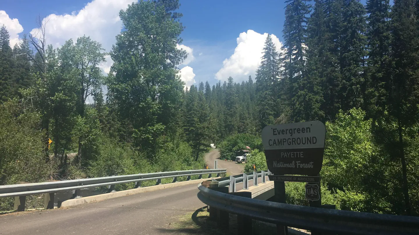
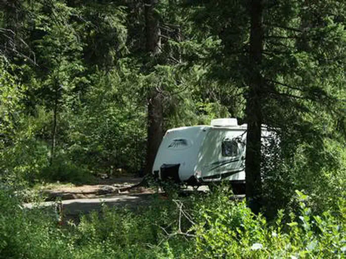
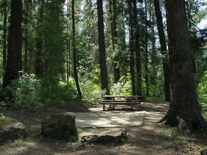
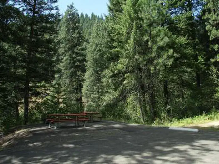
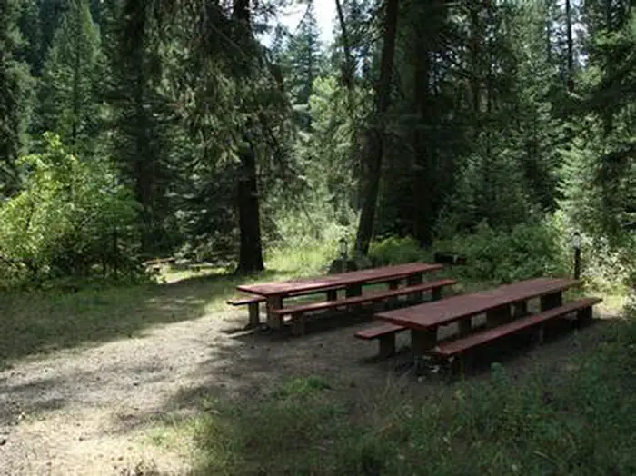
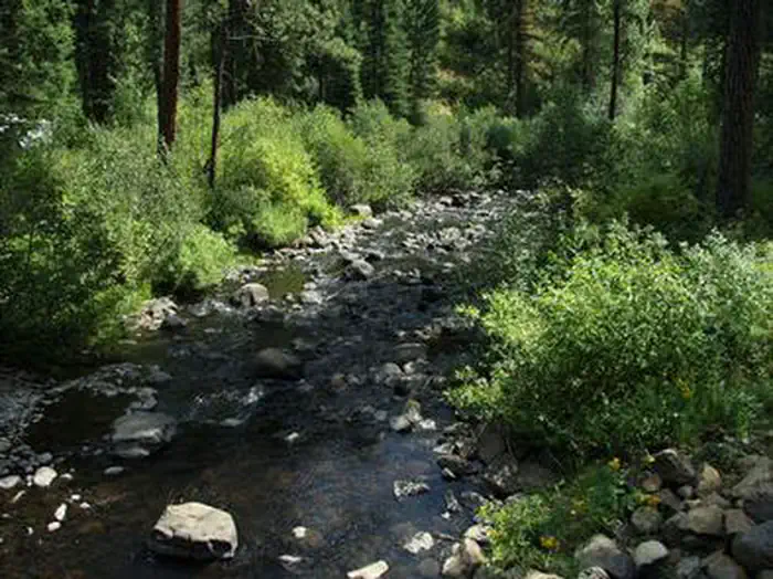
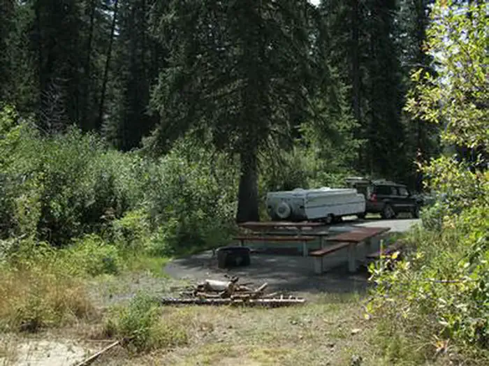
Overview Evergreen Campground is situated next to the Weiser River just off Highway 95 between the towns of Council and New Meadows, Idaho. Fishing and hiking are popular activities. Once on-site, you may be able to pay for your campsite(s) by scanning a QR code using the Recreation.gov mobile app, and the Scan and Pay feature. If this option is available, you will need to first download the free Recreation.gov mobile app https://www.recreation.gov/mobile-app prior to your arrival as some remote areas have limited or no cellular service. Recreation The Weiser River flows between the campground and the highway, offering excellent rainbow trout fishing, and an occassional crawdad. The Weiser River Trail is popular for hiking, mountain biking and horseback riding, and can be accessed within the site. Facilities The campground offers several single and double-family sites, most of which are accessible. Vault toilets and drinking water are provided. The road system throughout the campground is gravel, but parking spurs are paved. Natural Features Evergeen lives up to its name, as it's settled in a scenic, lush Douglas fir and spruce forest at an approximate elevation of 4,000 feet. Although right off the highway, the large trees and dense bushed provide seclusion and privacy. The Weiser River flows between the campsites and the highway.
From the USFS.Official page
Is EVERGREEN CAMPGROUND free?
No. EVERGREEN CAMPGROUND charges a fee. It is managed by the USFS. Sites are reservable through recreation.gov.
How do I get to EVERGREEN CAMPGROUND?
The campground is located off Highway 95 between the towns of New Meadows and Council, approximately 14 miles north of Council. Access into the site is paved. The road system throughout the campground is gravel, but all site pads are paved.
Nearby
SourceData from the USFS. Last synced September 19, 2026. Community reports and photos are submitted by travelers and are not verified by the agency.
