
DOG CREEK (ID)
Campground · Fee not listed
Fast facts
- Cost
- Not listed. Check locally.
- Type
- Campground
- Phone
- 208-587-7961
- Nearest dump station
- Smiley Creek Rv Dump Site · 34.1 mi
- Coordinates
- 43.5292, -115.3042
- Last verified
- September 19, 2026
About this place
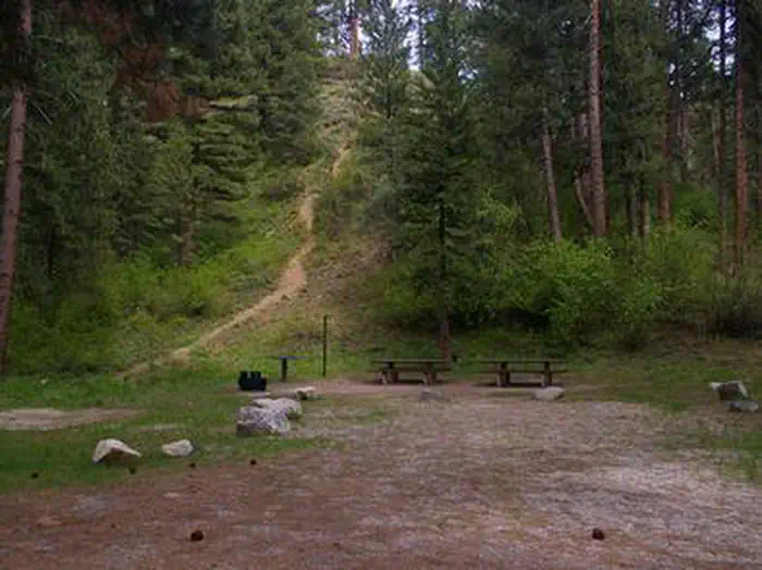
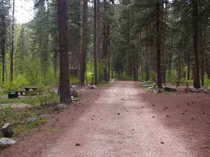
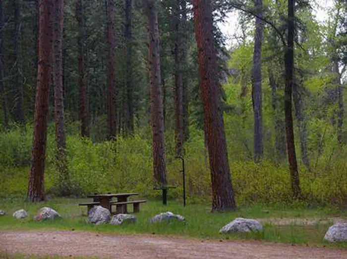
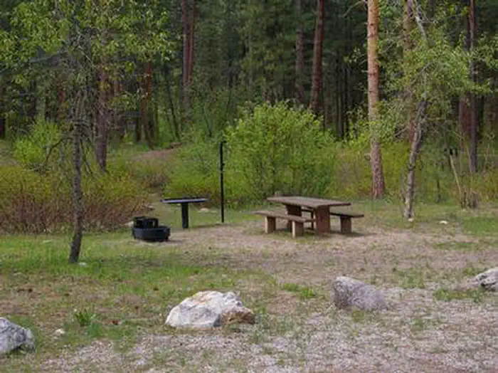
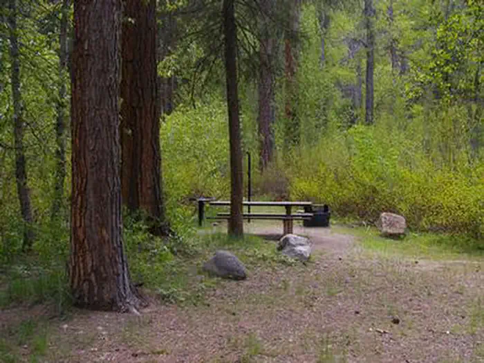
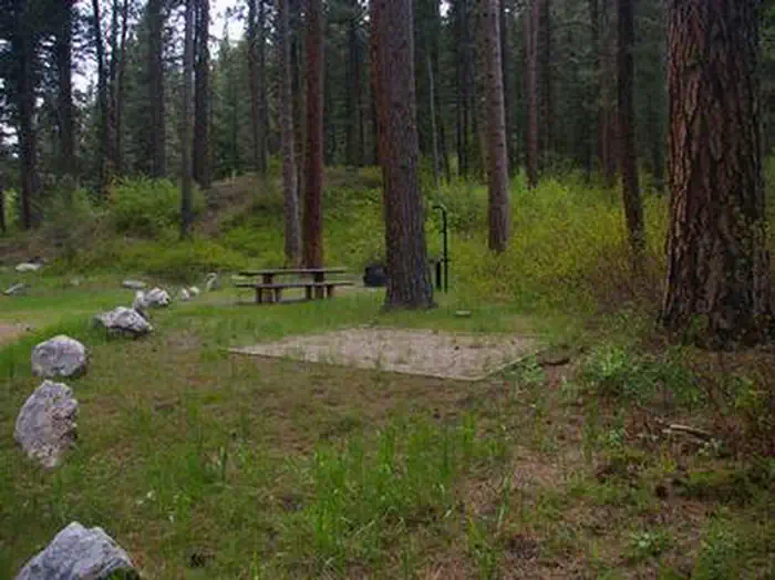
Overview Dog Creek Campground is located on the banks of Dog Creek, at the foot of the Trinity Mountain Range. It is four miles from the town of Pine, in south-central Idaho. Visitors enjoy fishing, swimming and exploring local trails. Recreation The South Fork Boise River is less than a quarter-mile away from the campground, offering rafting, swimming and fishing for rainbow trout. Paradise Hot Springs is nearby. Green Creek Trail 270, a 4.5-mile trail for hiking, horseback riding, biking and off-road vehicles, begins a mile from the site. Cross Cut Trail 172 begins close by and is open to hiking, biking, horseback riding and off-road vehicles. Facilities This quiet campground sits off the main road. It offers two small group campsites that can accommodate up to 15 people each. Eleven single-family campsites are available as well. Vault toilets and drinking water are provided. Roads and parking spurs within the campground are gravel. Natural Features The campground is situated in a scenic ponderosa pine forest, at an elevation of 4,600 feet. Summer wildflowers are plentiful and deer and hummingbirds frequent the area. Nearby Attractions Baumgartner Hot Springs is approximately 16 miles away with a soaking pool and nature trail. Kelly Creek Flats Recreation Area is adjacent to Baumgartner, with several more trail opportunities.
From the managing agency.
Is DOG CREEK (ID) free?
We do not have a fee on record for DOG CREEK (ID). Confirm the cost locally before you go.
How do I get to DOG CREEK (ID)?
DOG CREEK (ID) is at 43.5292, -115.3042. We do not hold written directions for this one, so navigate to the coordinates.
Nearby
SourceSource data is agency published. Last synced September 19, 2026. Community reports and photos are submitted by travelers and are not verified by the agency.
