
CALAMITY
Campground · Fee not listed
Fast facts
- Cost
- Not listed. Check locally.
- Type
- Campground
- Phone
- 208-270-0150 OR 541-351-1182
- Coordinates
- 43.3278, -111.2150
- Last verified
- September 19, 2026
About this place
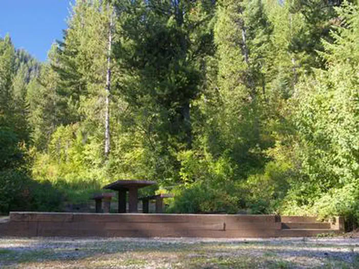
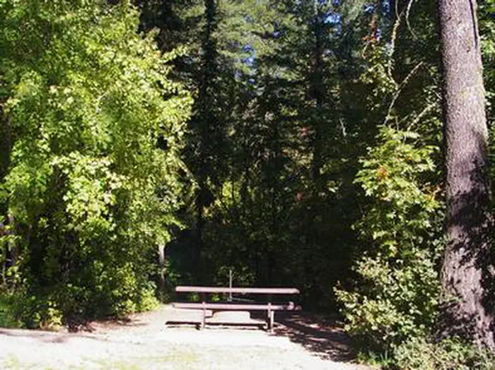
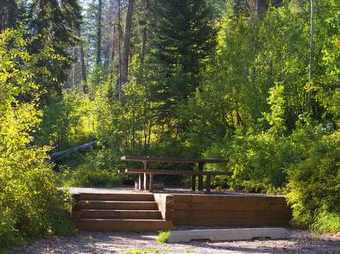
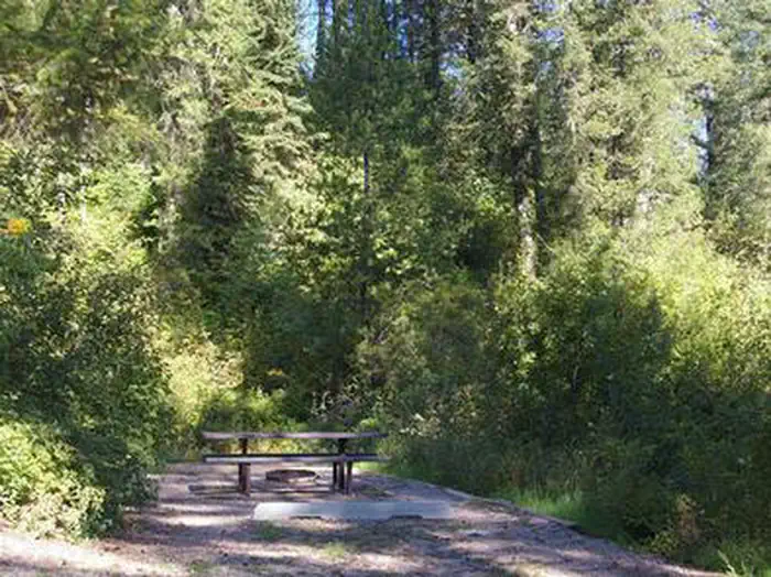
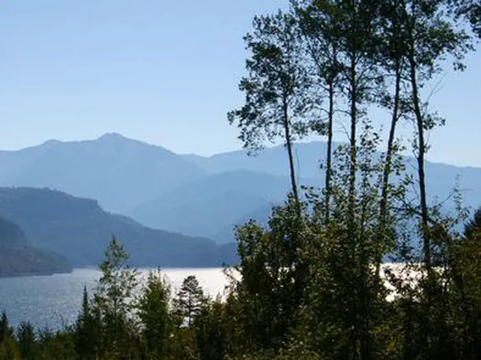
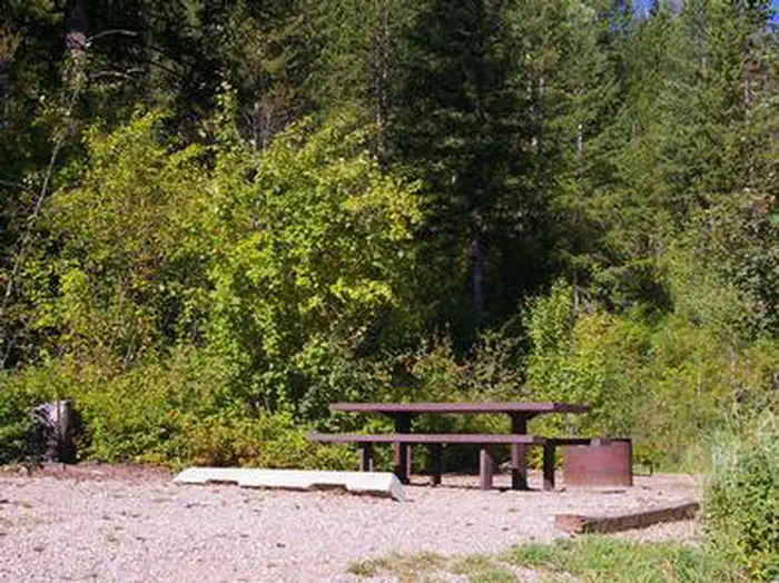
Overview Calamity Campground is located along the Snake River drainage at the north end of beautiful Palisades Reservoir at an elevation of 5,700 feet, just 55 miles east of Idaho Falls, Idaho. Visitors enjoy boating, water skiing, fishing and canoeing. Recreation Palisades Reservoir offers excellent boating, water skiing, swimming and canoeing. Lake and shore fishing are very popular here as well, with wild and stocked cutthroat trout as the predominate species. Kokanee salmon, brown and Mackinaw trout can also be found. A boat ramp and large parking area are located on-site. The Palisades Creek Trail begins nearby, leading hikers, mountain bikers and horseback riders to beautiful Upper Palisades Lake and expansive views of Swan Valley. Facilities The campground offers several campsites on three loops. All sites are equipped with a picnic table and campfire ring with grill. Some sites have a few stairs from the parking spur to the site pad. Vault toilets, drinking water and trash collection are provided, but there is no electricity. Firewood is available for purchase from the host. Roads and parking spurs are gravel. Natural Features The campground is situated on a hillside above Palisades Reservoir, affording scenic views from many sites. A mixed forest of lodgepole pine, spruce, fir, aspen and maple trees partially shade the campground. Summer wildflowers dot the landscape. Contact Info For facility specific information, please call (541) 351-1182. Nearby Attractions Big Elk Creek Trail, for hiking, biking and horseback riding, begins at nearby Big Elk Campground and meanders up a beautiful canyon brimming with wildflowers, towering trees and views of the surrounding mountains. Swan Valley and the Snake River offer more great fishing and boating opportunities, as well as rafting, canoeing and numerous trails for hiking, biking, horseback and ATV riding. Fall Creek Falls is 20 miles away, and the Fall Creek area has hundreds of miles of such trails.
From the managing agency.
Is CALAMITY free?
We do not have a fee on record for CALAMITY. Confirm the cost locally before you go.
How do I get to CALAMITY?
CALAMITY is at 43.3278, -111.2150. We do not hold written directions for this one, so navigate to the coordinates.
Nearby
- Calamity Campground0.1 mi
- Riverside Park Campground & Day Use Area1.0 mi
- Palisades Creek Campground4.8 mi
- Big Elk Campground & Group Area5.0 mi
- BIG ELK5.0 mi
- Blowout Campground & Boat Ramp5.7 mi
- Blowout Campground7.5 mi
- Falls Group Campground10.1 mi
No other services within 50 mi on the record.
SourceSource data is agency published. Last synced September 19, 2026. Community reports and photos are submitted by travelers and are not verified by the agency.
