
BULL TROUT
Campground · Fee
Fast facts
- Cost
- Fee charged
- Type
- Campground
- Phone
- 208-259-3361
- Nearest dump station
- Redfish RV Dump Site · 19.6 mi
- Coordinates
- 44.2980, -115.2555
- Last verified
- September 19, 2026

About this place
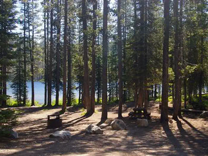
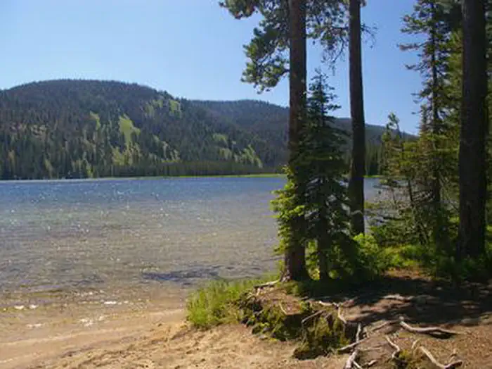
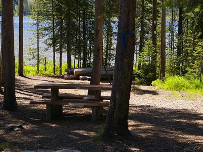
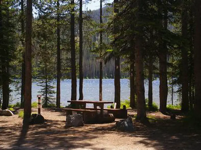
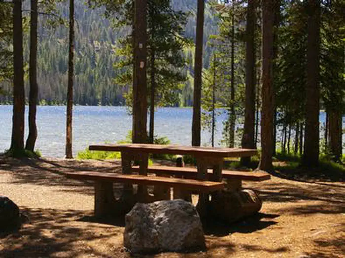
Overview Bull Trout Campground is located on the shores of beautiful Bull Trout Lake at an elevation of 6,900 feet. The lake offers great fishing and canoeing opportunities. Many trails for hiking, biking, horseback and off-road vehicle riding are in the area. Only equestrian users may reserve equestrian sites. Recreation Bull Trout Lake offers excellent canoeing and kayaking opportunities, as the lake is for non-motorized watercraft only. Anglers fish for brook and rainbow trout. A primitive boat ramp is located on the west side of the lake. Martin Lake is nearby, offering canoeing and fishing. The lake is stocked with rainbow trout. Many miles of trails can be found in the area, including the 11-mile Warm Spring Trail for hikers. The 35-mile Kirkham Ridge Trail is open to hiking, mountain biking, horseback riding and dirt biking. Facilities This campground contains group, equestrian and single and double campsites, many of which are accessible. The group sites can accommodate up to 50 people each. Equestrian sites each contain a corral and large parking spur. Some sites are on the waterfront and have direct lake access, others have lake views. Vault toilets, drinking water and trash collection are provided. Roads and parking spurs within the campground are dirt. A campground host is on-site. Natural Features The campground is situated in a mixed-growth forest of Douglas fir and lodgepole pine, which offers partial shade. Summer wildflowers are abundant.
From the managing agency.
Is BULL TROUT free?
No. BULL TROUT charges a fee.
How do I get to BULL TROUT?
BULL TROUT is at 44.2980, -115.2555. We do not hold written directions for this one, so navigate to the coordinates.
Nearby
SourceSource data is agency published. Last synced September 19, 2026. Community reports and photos are submitted by travelers and are not verified by the agency.
