
BOUNDARY CREEK CAMPGROUND
Campground · Fee not listed
Fast facts
- Cost
- Not listed. Check locally.
- Type
- Campground
- Phone
- 208-879-4100
- Nearest dump station
- Redfish RV Dump Site · 32.2 mi
- Coordinates
- 44.5314, -115.2931
- Last verified
- September 19, 2026

About this place
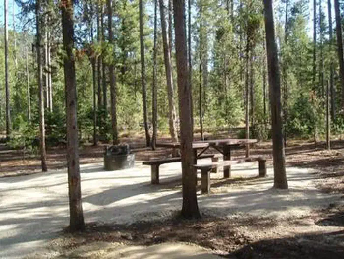
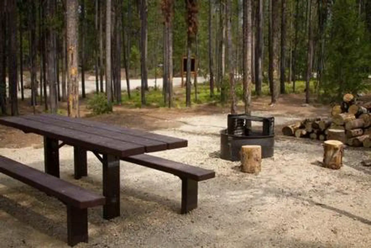
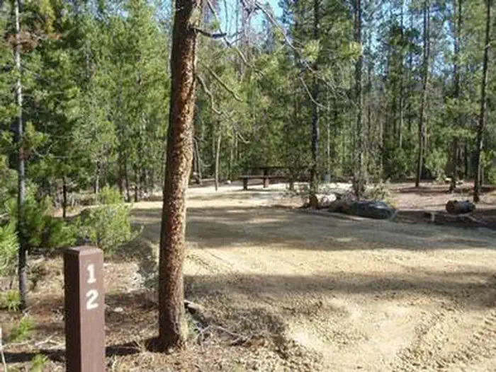
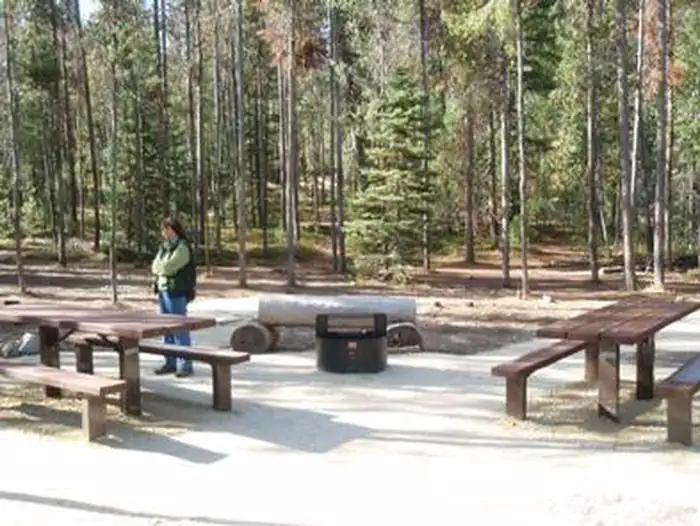
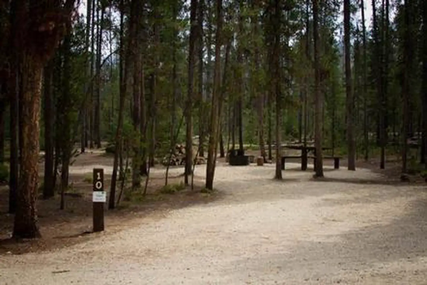
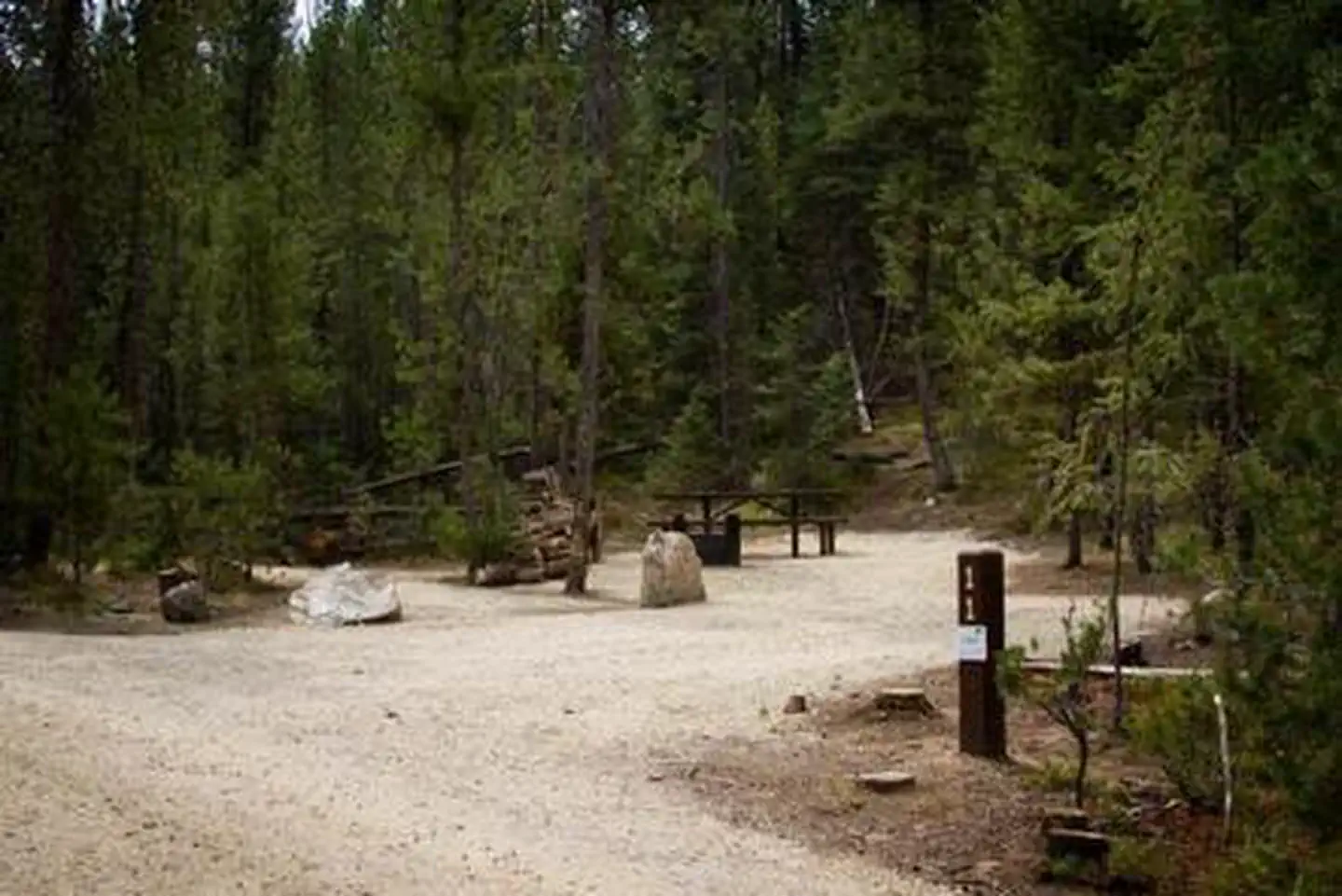
Overview Boundary Creek Campground is located at the edge of the Frank Church River of No Return Wilderness, adjacent to the boat launch for the Middle Fork of the Salmon River in Idaho. The site generally provides overnight camping for boaters waiting to launch the next day on their permit to float the Middle Fork. Of the 15 campsites, 5 can be reserved during the high-use season (June 15-Aug. 15); the remaining 10 are first-come, first-served. Outside of those dates, all 15 sites are first-come, first-served. Recreation Boundary Creek Campground is a popular spot for boaters running the Middle Fork of the Salmon. A nearby transfer camp provides long-term parking and trail access into the Frank Church River of No Return Wilderness. Visitors enjoy hiking, horseback riding, picnicking, fishing and viewing wildlife. Facilities The campground offers 15 campsites, each equipped with a picnic table and campfire ring. Five of these sites are reservable during the peak season (June 15-August 15); the other 10 are available on a first-come, first-served basis. Vault toilets and drinking water are provided. Natural Features At an elevation of 6,280 feet, the campground is situated among lodgepole pine trees, near the Wild and Scenic Middle Fork of the Salmon River. The air is crisp and fresh, even in the heart of summer, due to it's high elevation. Nearby Attractions The Middle Fork of the Salmon River flows over 100 miles through the heart of the Frank Church-River of No Return Wilderness, and originates 20 miles northwest of Stanley, Idaho, at the confluence of Bear Valley and Marsh Creeks. Float permits are required year round. It was one of the original eight rivers in the nation designated as Wild and Scenic on October 2, 1968.
From the managing agency.
Is BOUNDARY CREEK CAMPGROUND free?
We do not have a fee on record for BOUNDARY CREEK CAMPGROUND. Confirm the cost locally before you go.
How do I get to BOUNDARY CREEK CAMPGROUND?
BOUNDARY CREEK CAMPGROUND is at 44.5314, -115.2931. We do not hold written directions for this one, so navigate to the coordinates.
Nearby
SourceSource data is agency published. Last synced September 19, 2026. Community reports and photos are submitted by travelers and are not verified by the agency.
