
BISHOP MOUNTAIN CABIN
USFS · Campground · Fee
Fast facts
- Cost
- Fee charged
- Managed by
- USFS
- Type
- Campground
- Hours
- June 1 until March 30th
- Reservations
- recreation.gov
- Phone
- 208-652-7442
- Coordinates
- 44.3336, -111.5536
- Last verified
- September 19, 2026
About this place
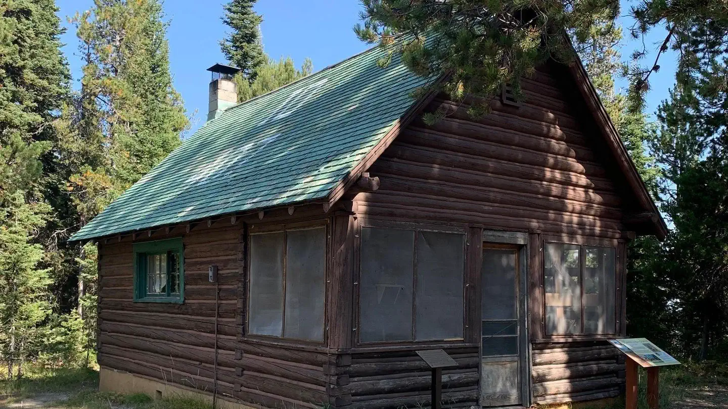
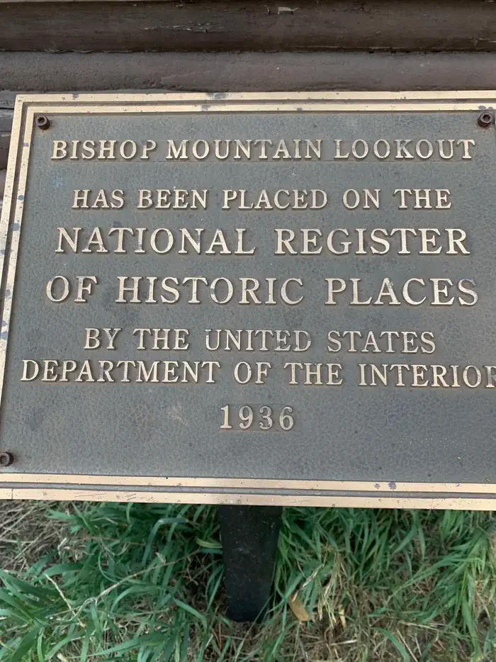
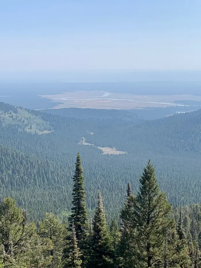
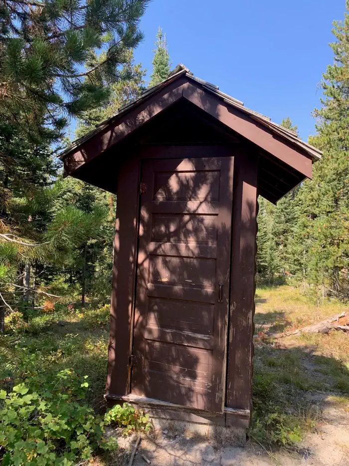
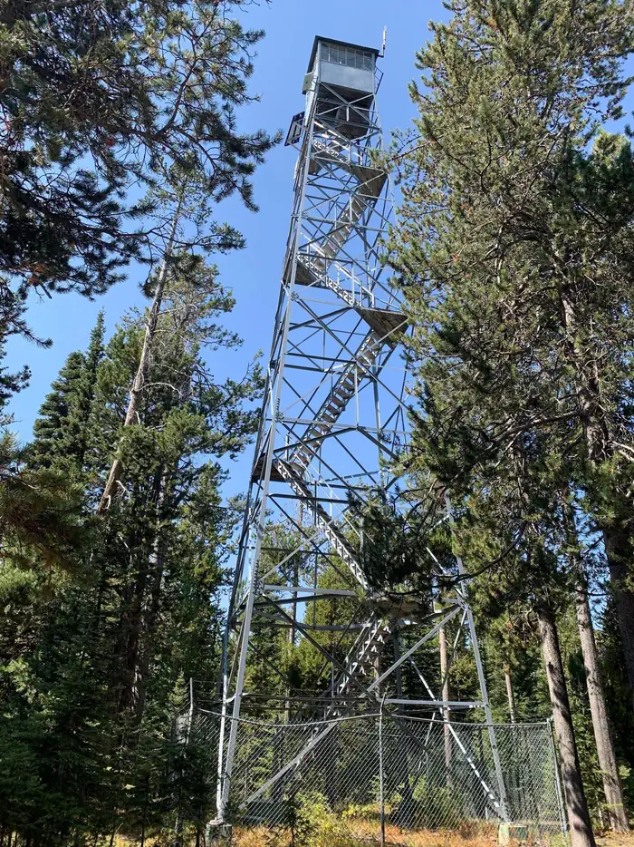
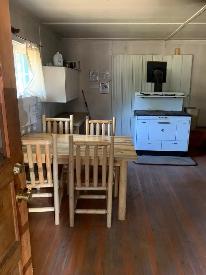
Overview Bishop Mountain Cabin was built by the Civilian Conservation Corps in 1938. The one-room cabin formerly housed Forest Service and Bureau of Land Management employees who stayed there to watch for forest fires. A historic fire lookout tower is nearby. The cabin was used for lookout workers until the early 1980s. Guests can drive to the cabin from early June through mid-November, weather permitting, although about 16 miles of the trip are on high-clearance gravel roads. Four wheel drive pick-up trucks are required for cabin access. During winter months November through May, access to the cabin is accessible by snowmobile or other snow means, on an ungroomed portion of the road. The cabin provides several conveniences, but guests should be prepared to bring most of their own supplies and gear for a comfortable stay. Recreation Guests at Bishop Mountain Cabin can participate in numerous recreational activities. Nearby logging roads are suitable for mountain biking. Hiking, snowmobiling and horseback riding trails are nearby. This area is also popular with hunters and berry pickers. Facilities Guests will find two sets of bunkbeds with mattress pads, a dining table and chairs. A wood cook stove is available for cooking and heating, and firewood is provided. A vault toilet is located in a separate building. Running water and electricity are not available. Guests must bring their own water supply as well as trash bags for packing out garbage. Bedding, matches, lighting and first aid supplies are not provided. Natural Features The cabin sits at 7,800 feet on the summit of Bishop Mountain, which is covered by pine trees. This mountain sits on the western border of Henry's Fork Caldera, an 18-mile long, 23-mile wide caldera located just west of Yellowstone National Park. Visitors are awarded scenic views of the surrounding mountains. Wildlife in this area includes black bear, wolf, elk, moose, mule deer, and grizzly bears. Nearby Attractions Harriman State Park is approximately 14 miles east of Bishop Mountain and open year-round. It lies within a wildlife refuge that's part of the Yellowstone Ecosystem. Visitors often see moose, elk, sandhill cranes and trumpeter swans. Anglers can find some of the best fly-fishing in the nation, and there are numerous multi-use trails.
From the USFS.Official page
Is BISHOP MOUNTAIN CABIN free?
No. BISHOP MOUNTAIN CABIN charges a fee. It is managed by the USFS. Sites are reservable through recreation.gov.
How do I get to BISHOP MOUNTAIN CABIN?
From Ashton, ID, travel north on Highway 20 for 16 miles, then turn left (west) on North Antelope Flat Road (#168). Travel 7.5 miles to Bishop Mountain Road (#120) and then turn right (north) and travel for about 5.4 miles. The road dead ends at the cabin.
Nearby
- RIVERSIDE (ID - TARGHEE)6.6 mi
- Riverside Campground6.8 mi
- Box Canyon Campground8.6 mi
- BUTTERMILK9.3 mi
- Buttermilk Campground9.5 mi
- Buffalo Campground11.1 mi
- BUFFALO (IDAHO)11.2 mi
- Mccrea Bridge Campground11.7 mi
No other services within 50 mi on the record.
SourceData from the USFS. Last synced September 19, 2026. Community reports and photos are submitted by travelers and are not verified by the agency.
