
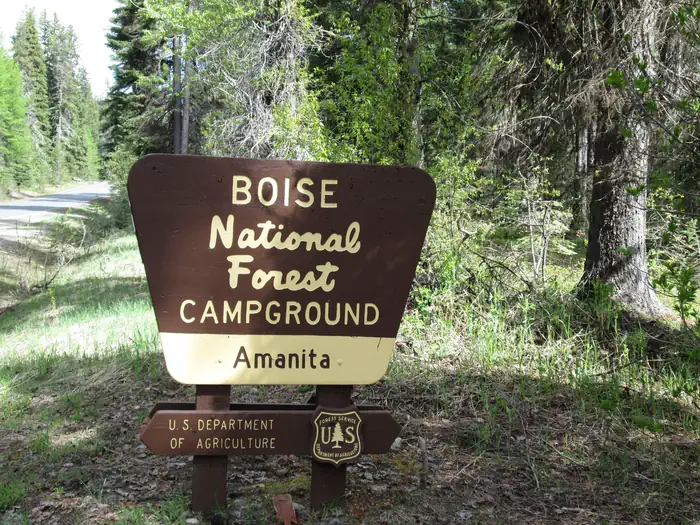
AMANITA
USFS · Campground · Fee
Fast facts
- Cost
- Fee charged
- Managed by
- USFS
- Type
- Campground
- Reservations
- recreation.gov
- Phone
- 208-382-7400
- Nearest dump station
- Redfish RV Dump Site · 71.1 mi
- Coordinates
- 44.7019, -116.1314
- Last verified
- September 19, 2026
About this place
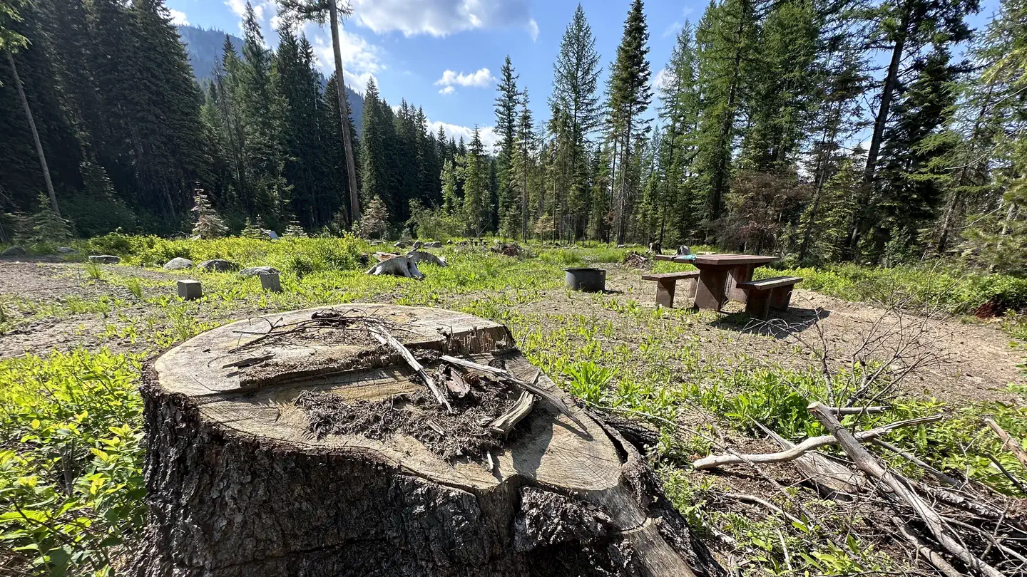
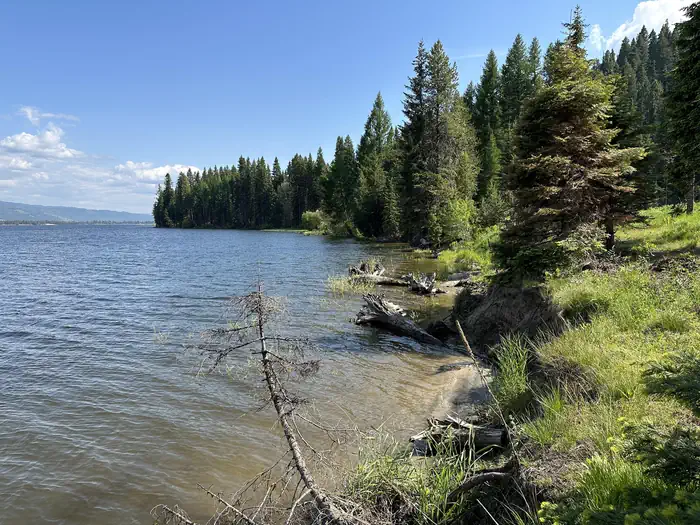
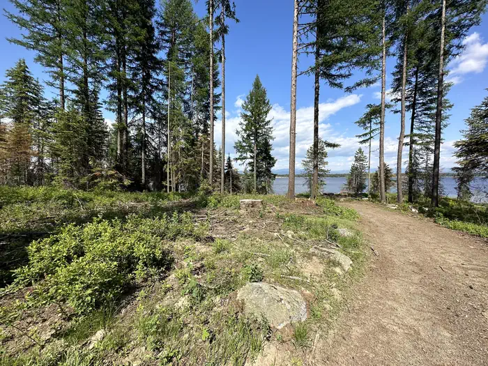
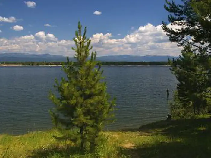
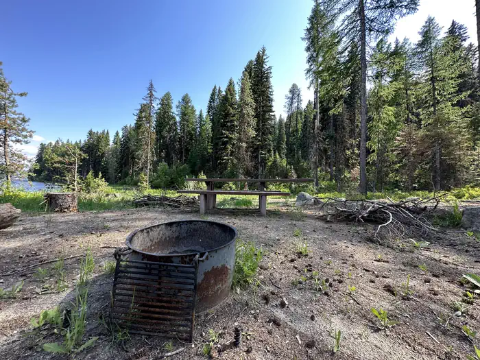
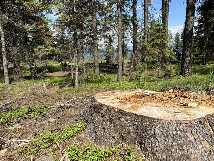
Overview Amanita Campground is located next to scenic Lake Cascade in west-central Idaho. It is near the town of Donnelly, at an elevation of 4,850 feet. Boating, fishing, swimming and hiking are popular activities in this scenic region. Recreation Lake Cascade offers excellent opportunities for boating, water skiing, canoeing, windsurfing and sailing. Anglers enjoy casting for rainbow trout, coho salmon, smallmouth bass and perch. A boat ramp is located at the neighboring Rainbow Point Campground. Many hiking and ATV trails are in the area as well. Facilities This small campground contains single-family campsites, with picnic tables, campfire rings and grills. Some sites have lake views and shoreline access. Vault toilets, drinking water and trash collection are provided, but there is no electricity at the campground. Roads and parking spurs within the facility are gravel. A campground host can be located at Rainbow Point Campground. Natural Features The campground is situated on the west shore of the lake, among a mixed-growth conifer forest that towers over the campground. Summer wildflowers are abundant in the area. A wide variety of wildlife makes its home around the lake. Waterfowl and songbirds can also be seen in the area, as well as pelicans and bald eagles.
From the USFS.Official page
Is AMANITA free?
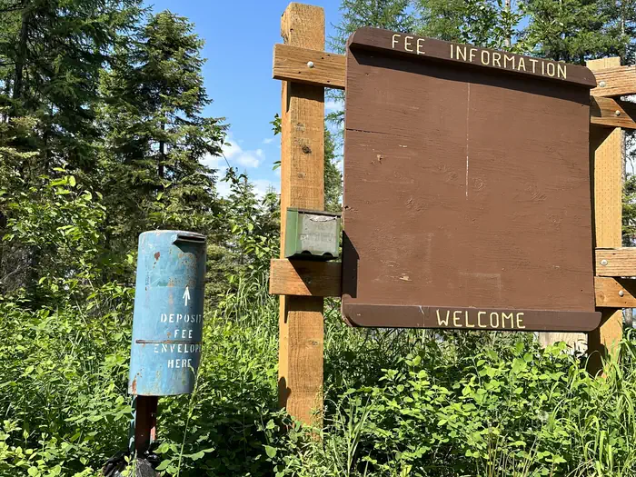
No. AMANITA charges a fee. It is managed by the USFS. Sites are reservable through recreation.gov.
How do I get to AMANITA?
AMANITA is at 44.7019, -116.1314. We do not hold written directions for this one, so navigate to the coordinates.
Nearby
SourceData from the USFS. Last synced September 19, 2026. Community reports and photos are submitted by travelers and are not verified by the agency.
