
CLARKS FERRY
Campground · Fee not listed
Fast facts
- Cost
- Not listed. Check locally.
- Type
- Campground
- Phone
- 563-419-7594
- Coordinates
- 41.4664, -90.8094
- Last verified
- September 19, 2026
About this place
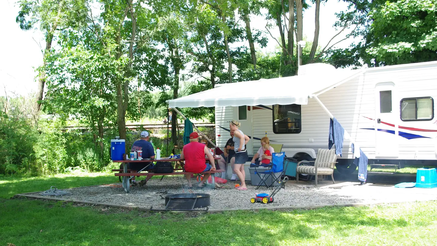
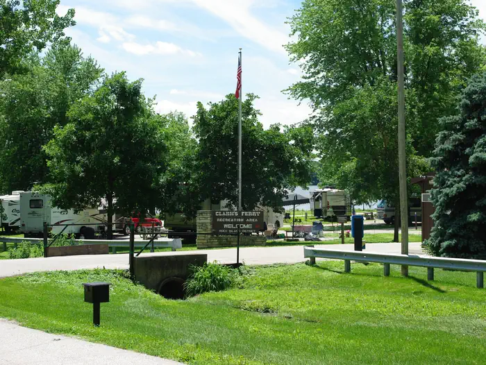
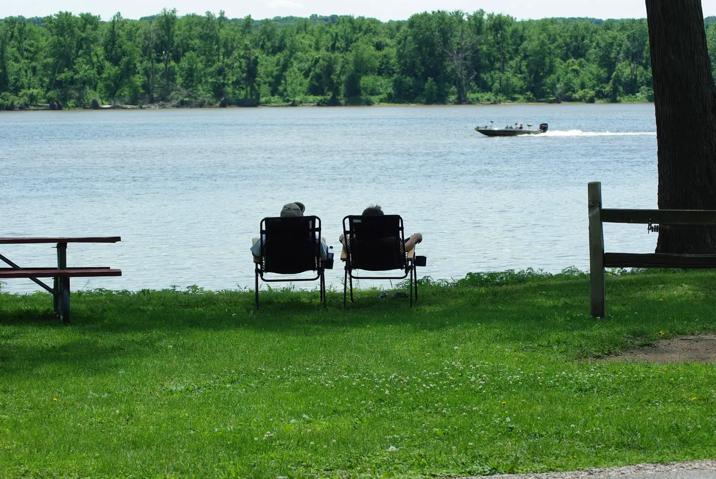
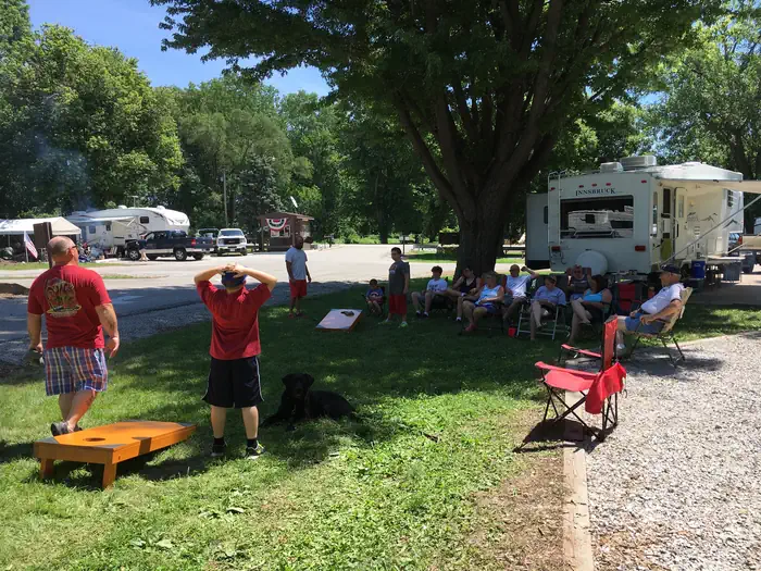
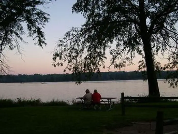
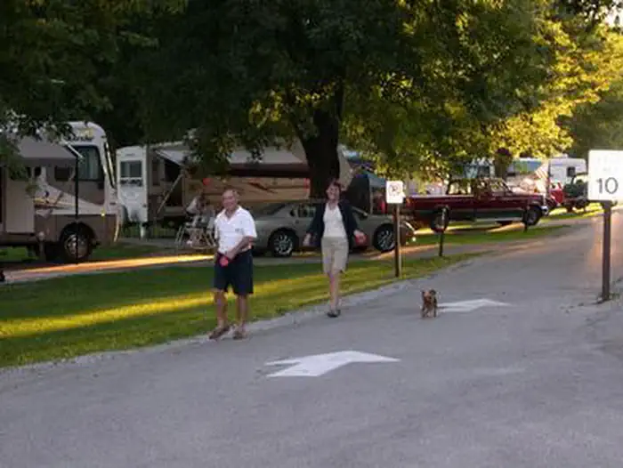
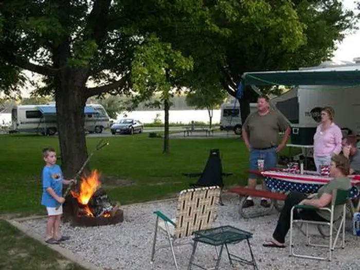
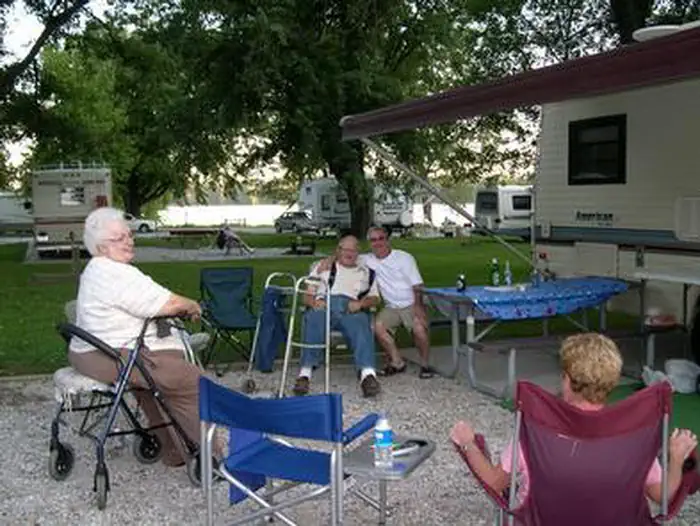
Overview Clarks Ferry is a outdoor lovers delight, with fantastic bird watching and lots of shore fishing opportunities with our new accessible fishing dock! The park has plenty of trees to lounge under while taking in the spectacular views of the mighty Mississippi River. Recreation Take the kids to one of the two playgrounds, play a game of horseshoes, volleyball, or go boating. The Mississippi River draws crowds of anglers for channel catfish, bluegill, walleye, crappie and northern pike. Facilities Picnic tables, campfire rings, and 50-amp electric hookups are provided at every campsite. A boat ramp, dump station, and picnic shelter are also onsite. Natural Features The park is surrounded by large mature trees along the Iowa side of the Upper Mississippi River. The Upper Mississippi is the section of the river that starts in the headwaters of Lake Itasca, Minnesota and flows 1,250 miles to Cairo, Illinois, where it joins with the Ohio River. Nearby Attractions Clarks Ferry is near the Shady Creek Recreation Area and the Wildcat Den State Park.
From the managing agency.
Is CLARKS FERRY free?
We do not have a fee on record for CLARKS FERRY. Confirm the cost locally before you go.
How do I get to CLARKS FERRY?
CLARKS FERRY is at 41.4664, -90.8094. We do not hold written directions for this one, so navigate to the coordinates.
Nearby
- SHADY CREEK3.8 mi
- Blanchard Island Recreation Area15.1 mi
- FISHERMANS CORNER22.9 mi
- Turkey Creek Day Use Area41.0 mi
- TAILWATER EAST CAMPGROUND41.2 mi
- East Overlook Day Use Area41.2 mi
- TAILWATER WEST CAMPGROUND41.4 mi
- Tailwater West Day Use Area41.4 mi
No other services within 50 mi on the record.
SourceSource data is agency published. Last synced September 19, 2026. Community reports and photos are submitted by travelers and are not verified by the agency.
