
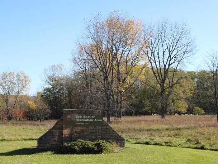
BOB SHETLER RECREATION AREA
Campground · Fee not listed
Fast facts
- Cost
- Not listed. Check locally.
- Type
- Campground
- Phone
- 515-276-0873
- Coordinates
- 41.7017, -93.6853
- Last verified
- September 19, 2026
About this place
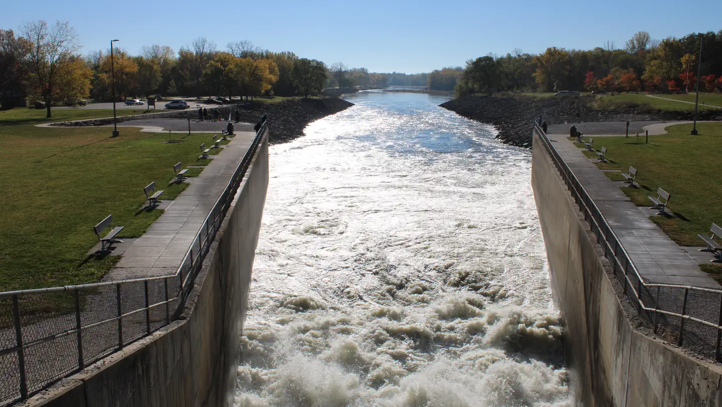
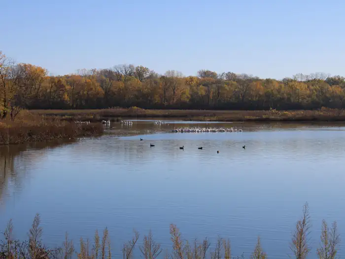
Overview Bob Shetler Recreation Area is located in the tailwater area below the 26,000-acre Saylorville Lake Project, which stretches more than 50 miles up the Des Moines River Valley. The lake provides a wide variety of recreational activities, including boating, swimming, fishing, hiking and hunting. Recreation Visitors enjoy Saylorville Lake for its excellent boating, sailing, water skiing, windsurfing and swimming opportunities. Anglers will find walleye, wiper, largemouth bass, catfish, crappie and northern pike. The paved Neal Smith Trail winds 24 miles from Des Moines to Big Creek State Park and connects the campgrounds on the east side of the lake. It is designated as a National Recreation Trail and is used for biking, hiking, jogging, walking and in-line skating. Facilities The campground offers 67 camping sites, all with electric hookups. Amenities include flush and pit toilets, showers, drinking water and a dump station. Nearby amenities include a visitor center, hiking trail, volleyball courts and a disc golf course. Boat ramps and an accessible fishing dock are also close by. Natural Features Large shade trees dot the open grassy areas of the campground, which offers excellent views of the Des Moines River. Most campsites are within easy walking distance of the shore. Wildlife is abundant throughout the project. White-tailed deer, turkeys, waterfowl and other small game animals roam the lands around the lake.
From the managing agency.
Is BOB SHETLER RECREATION AREA free?
We do not have a fee on record for BOB SHETLER RECREATION AREA. Confirm the cost locally before you go.
How do I get to BOB SHETLER RECREATION AREA?
BOB SHETLER RECREATION AREA is at 41.7017, -93.6853. We do not hold written directions for this one, so navigate to the coordinates.
Nearby
- BOB SHETLER PICNIC AREA0.4 mi
- COTTONWOOD RECREATION AREA0.9 mi
- Lake View Recreation Area (Saylorville)1.0 mi
- CHERRY GLEN CAMPGROUND2.1 mi
- CHERRY GLEN PICNIC2.1 mi
- OAK GROVE PICNIC AREA2.6 mi
- WALNUT RIDGE RECREATION AREA2.7 mi
- ACORN VALLEY3.2 mi
No other services within 50 mi on the record.
SourceSource data is agency published. Last synced September 19, 2026. Community reports and photos are submitted by travelers and are not verified by the agency.
