
Sandy Bottoms Recreation Area Campground (Clayton, GA)
Campground · Fee not listed
Fast facts
- Cost
- Not listed. Check locally.
- Type
- Campground
- Nearest dump station
- North River Checking Station · 36.9 mi
- Coordinates
- 34.7867, -84.2389
- Last verified
- September 19, 2026
About this place
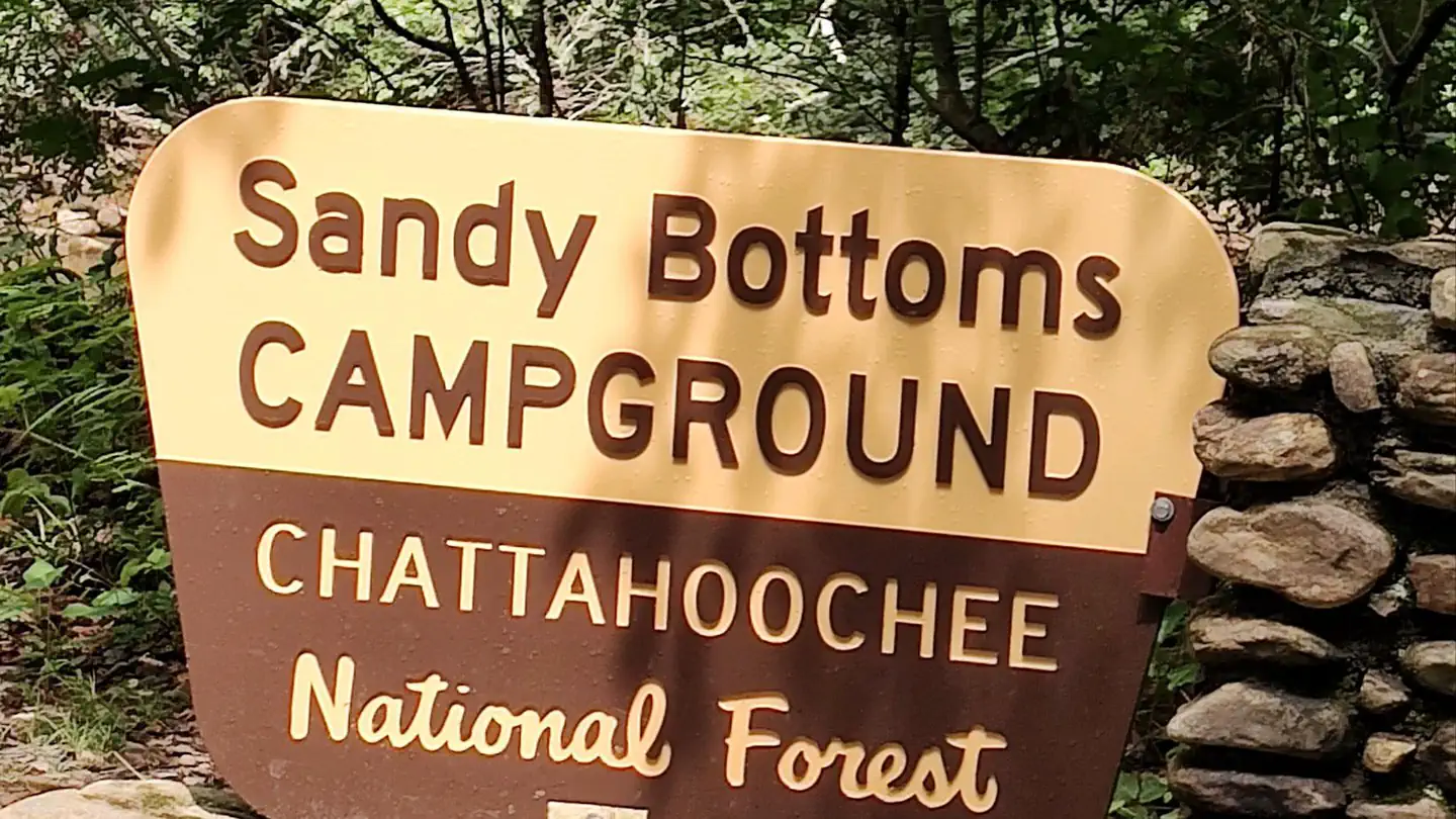
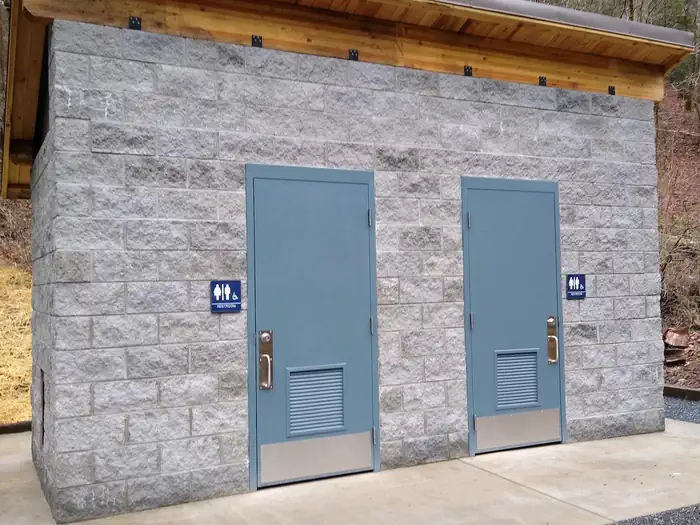
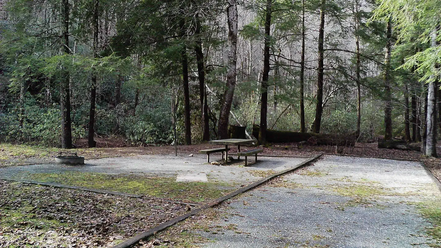
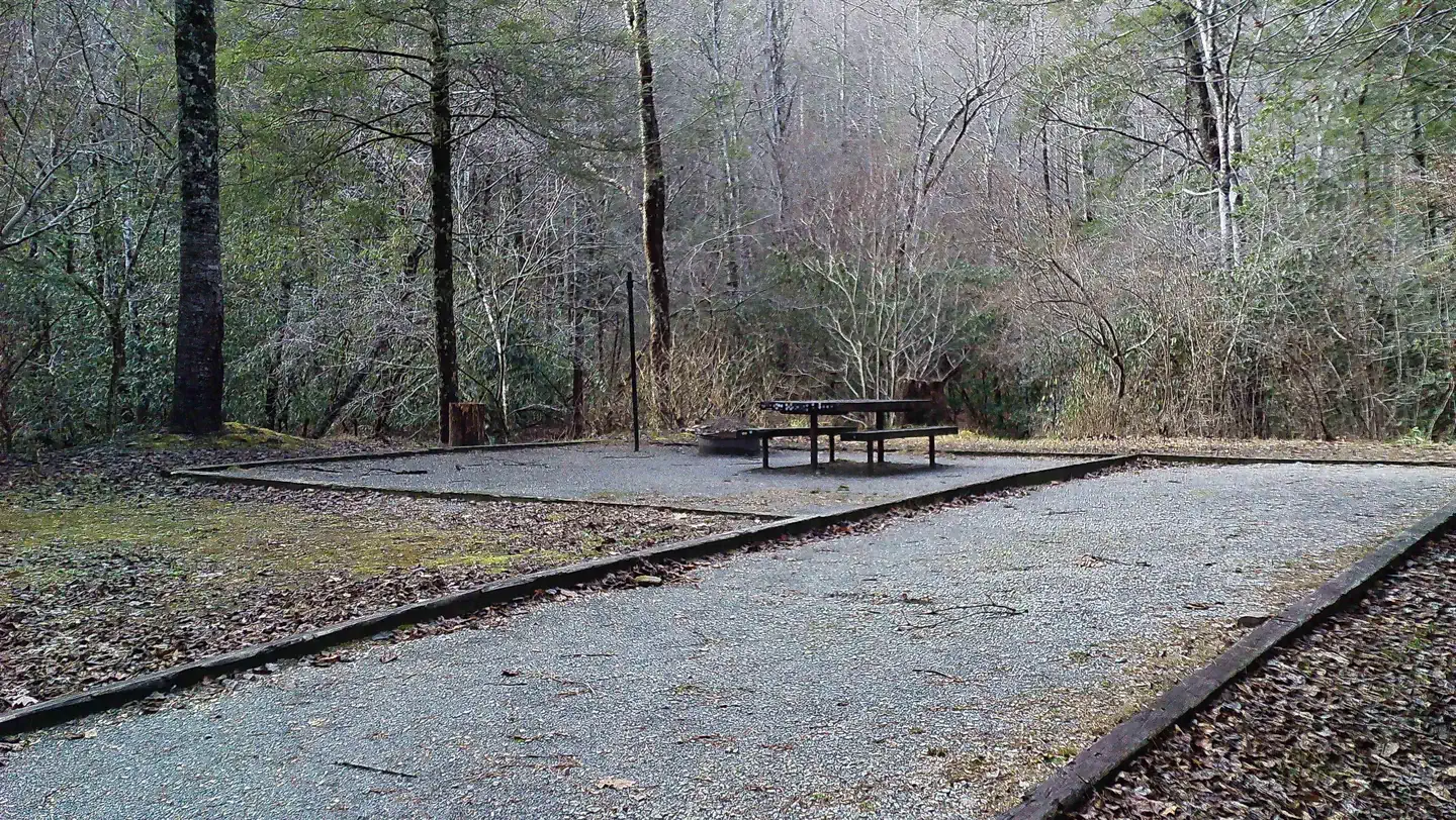
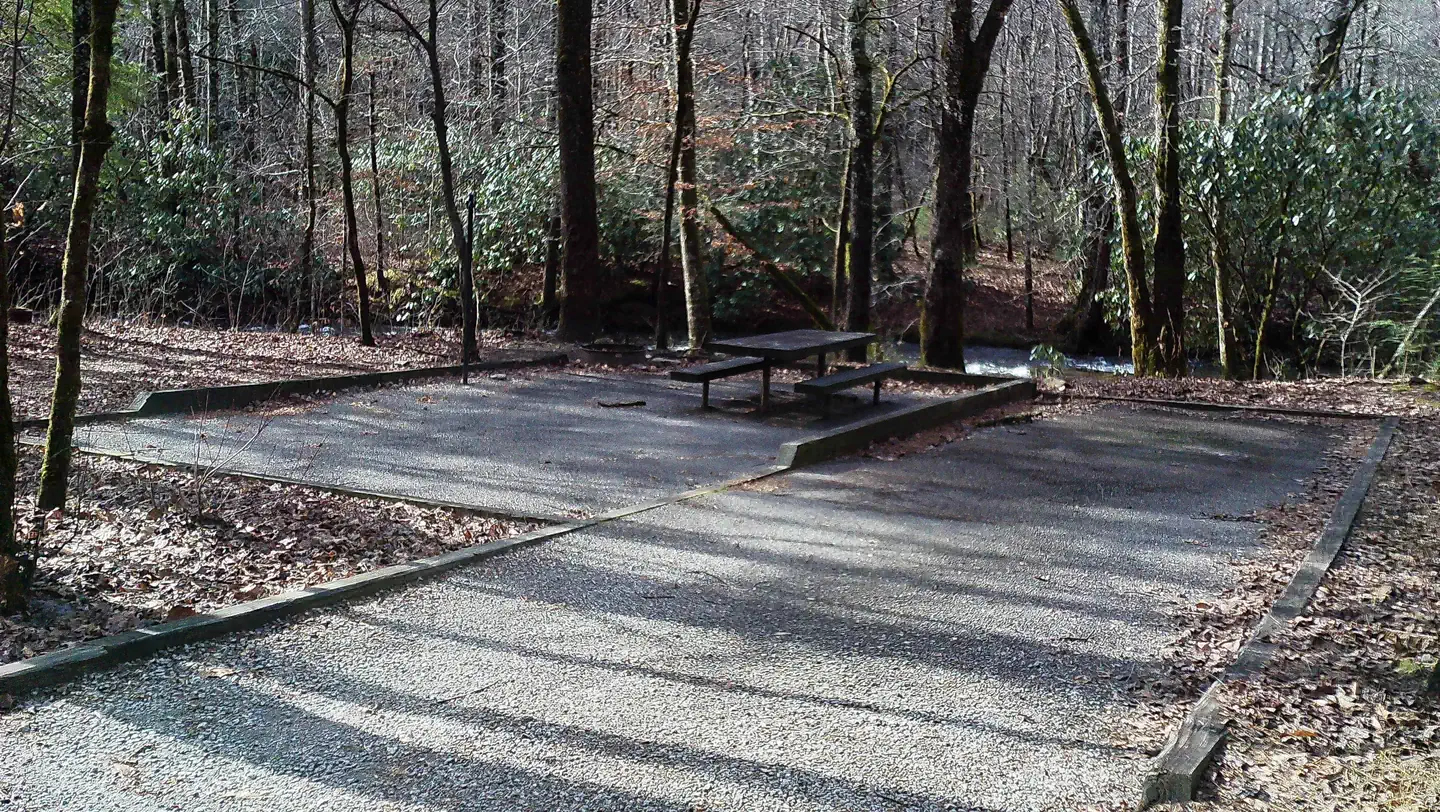
Overview All campsites are available by reservation only, reservations may be made at recreation.gov Whether you plan your trip during the rebirth of Spring or later in the year during the display of the prominent North Georgia Fall colors, this 13-site developed campground is sure to heighten the innate beauty of the season. Graced with various species of hardwoods and resting on the shore of Tallulah River, Sandy Bottoms provides a rustic experience for the outdoor enthusiast to camp, swim, fish, or just enjoy the scenery. Recreation Sandy Bottoms Recreation Area Campground is in a unique area. You can enjoy walking along the Tallulah River. Fishing is a popular sport in the Tallulah River. If a hike is what you desire, take a short drive along the Tallulah River Road through Tate City to the end of the road, which not only has some great views but at the end of the road is Beech Creek Trail and Buck Creek Trail both are found in the Southern Nantahala Wilderness Area. Looking for an easier hike, you can go the other direction on Tallulah River Road for approximately 5 miles to bridge #1 where you will find a small parking area for the Coleman River Trail a 1.1 in and out trail that runs along a portion of the Coleman River that flows with the Tallulah River. Facilities The campground offers 13 campsites with picnic tables, fire rings, and a lantern post at each site. There is a new vault toilet and trash bins located at the center of the campground. Drinking water is available by hand pump during the entire season the campground is open. Natural Features Natural Features: Sandy Bottoms Recreation Area Campground is located in the Chattahoochee National Forest, a place of exploration and wonder. This National Forest is rich in history and is said to be a hiker's paradise with its winding trails, scenic mountains, and rolling hills. Contact Info For facility specific information, please call (706) 754-6221. Nearby Attractions Visitors to the campground can enjoy scenic drives when going to visit nearby Rabun Bald the second-highest peak in Georgia at 4696 ft above sea level. Continue your exploring and you can find many waterfalls to see and trails to hike. One of the longest trails in the area is the National Recreational Bartram Trail. If some water activities are on your mind the Chattooga Wild and Scenic River has fishing, whitewater rafting, canoe, and kayak possibilities with outfitter and guide services available if you enjoy your time on the river. Tallulah Gorge State Park and historic Lakemont are also a close drive. Lake Rabun and Lake Burton are great places to put a boat in the water and enjoy those memories you are ready to make. Within an hour's drive, you can spend some time visiting the city of Helen a beautiful alpine village in White County if you find yourself there be sure and stop by Anna Ruby Falls, Dukes Creek Falls, or Ravens Cliff Wilderness for more hiking fun. While in the neighborhood a short drive around will find you at Brasstown Bald the highest peak in Georgia rising to 4784 ft above sea level.
From the managing agency.
Is this site free?
We do not have a fee on record for this site. Confirm the cost locally before you go.
How do I get to this site?
this site is at 34.7867, -84.2389. We do not hold written directions for this one, so navigate to the coordinates.
Nearby
SourceSource data is agency published. Last synced September 19, 2026. Community reports and photos are submitted by travelers and are not verified by the agency.
