
Rays Lake Park
Campground · Fee not listed
Fast facts
- Cost
- Not listed. Check locally.
- Type
- Campground
- Phone
- 229-662-2001
- Coordinates
- 30.8334, -84.8533
- Last verified
- September 19, 2026
About this place
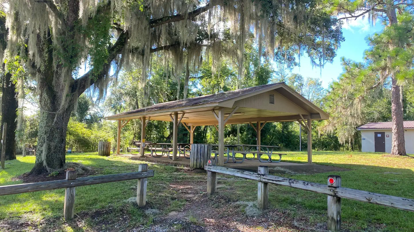
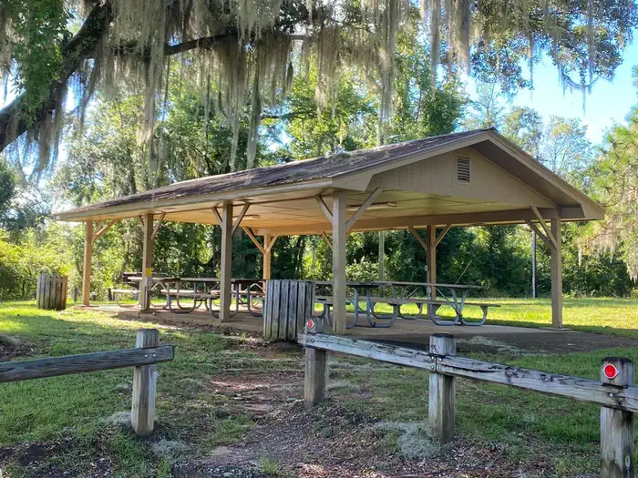
Overview Rays Lake Park is located on Lake Seminole in Southwest Georgia. The lake and surrounding area provide a variety of outdoor recreational opportunities for fishing, camping, boating, picnicking, hiking, biking and birding. Recreation Lake Seminole is known as one of the best sites for sports fishing in America. Extensive stump and grass beds provide abundant cover where anglers fish for largemouth, hybrid, striped and white bass. Sizable populations of catfish, crappie and bream are also present. Over 79 species of fish have been identified in the lake. Facilities Rays Lake Park has restroom facilities within walking distance to the shelter. A boat ramp provides access to the lake. The park has a fishing pier with stair and ramp access. There are 5 picnic tables and a grill located at the shelter. Electricity hook ups are available. There is no potable water. Natural Features Lake Seminole has a surface area of 37,500 acres with 376 miles of shoreline. A pine and hardwood forest covers the rolling hills around the lake. A variety of wildlife makes its home around Seminole Lake, including raccoons, alligators, ring-necked ducks, canvasbacks, scaup, hawks, bald eagles, black vultures, tortoises and snakes. Contact Info For facility specific information, please call (229) 662-2001.
From the managing agency.
Is Rays Lake Park free?
We do not have a fee on record for Rays Lake Park. Confirm the cost locally before you go.
How do I get to Rays Lake Park?
Rays Lake Park is at 30.8334, -84.8533. We do not hold written directions for this one, so navigate to the coordinates.
Nearby
- Chattahoochee Park6.7 mi
- EASTBANK7.9 mi
- Hales Landing Park11.5 mi
- Faceville Landing Park 11.6 mi
- CAMEL LAKE CAMPGROUND39.1 mi
- Porter Lake Hunt Camp46.4 mi
- Whitehead Campground & Boat Ramp47.2 mi
No other services within 50 mi on the record.
SourceSource data is agency published. Last synced September 19, 2026. Community reports and photos are submitted by travelers and are not verified by the agency.
