
LAKE RABUN BEACH RECREATION AREA
Campground · Fee not listed
Fast facts
- Cost
- Not listed. Check locally.
- Type
- Campground
- Phone
- 1-706-782-6798
- Nearest dump station
- Deep Creek RV Sanitary Station · 48.6 mi
- Coordinates
- 34.7558, -83.4813
- Last verified
- September 19, 2026
About this place
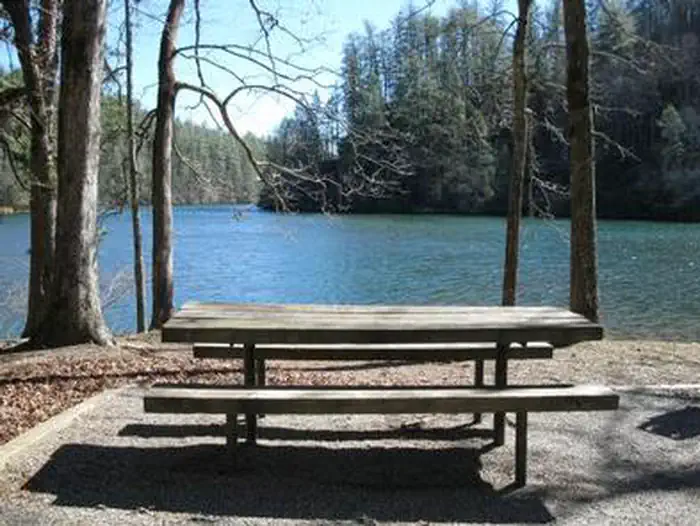
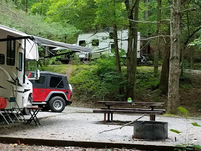
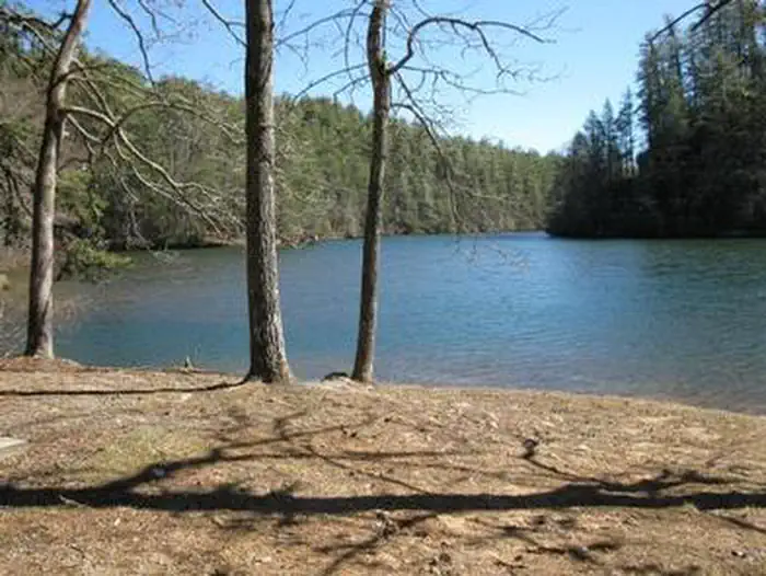
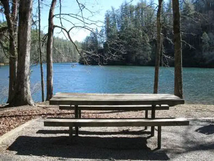
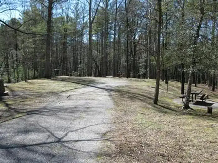
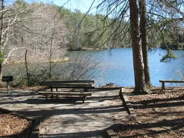
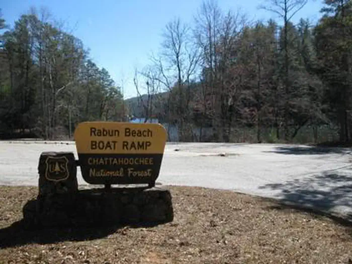
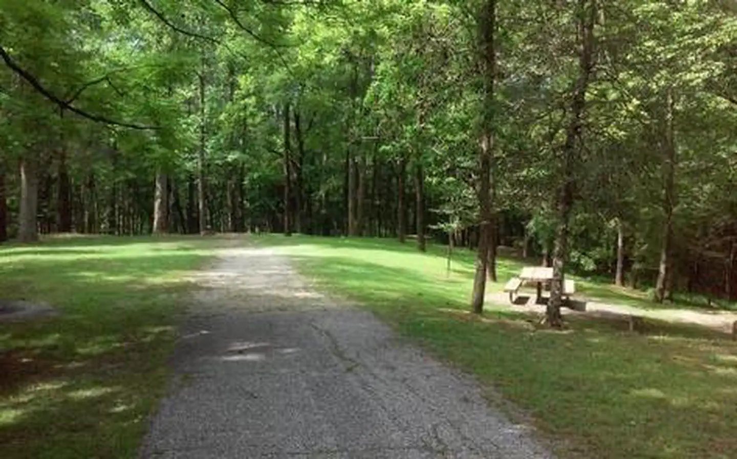
Overview Cradled in the hills of the North Georgia Mountains overlooking beautiful Lake Rabun, this developed recreation area offers camping and hiking. Across the road, the lake offers plenty of water activities like swimming, boating, fishing, and ample opportunities to absorb the peaceful lake scenery. Recreation At the rear of the campground, visitors will find the trailhead for the popular Angel Falls/Panther Falls Hiking Trail (trail length 1.7 miles). The swim area has two picnic tables, a roped-off area for swimmers and restrooms. A boat launch area and a fishing peer are near the swimming area, Lake Rabun is home to bass, bream, perch, trout and catfish. Check State regulations before you fish. Facilities The campground offers 80 campsites, 21 of these campsites have electricity and a majority have water. The restroom facilities include hot water showers. Each campsite includes a grill, picnic table and lantern post. The campground features one group campsite which includes five campsites. Firewood can be purchased at the campground. On-site camp hosts are available and the campground features a boat ramp and dump station. Natural Features Lake Rabun is located in the Chattahoochee-Oconee National Forest, a place of exploration and wonder. This National Forest is rich in history and is said to be a hiker's paradise with its winding trails, scenic mountains and rolling hills. Nearby Attractions Visitors to the campground can enjoy nearby Anna Ruby Falls; Brasstown Bald Recreation Area (Georgia's highest point); Minnehaha Falls; Panther Creek Falls; Tallulah Gorge State Park; Clayton, GA; historic Lakemont, GA; whitewater rafting on the Chattooga River.
From the managing agency.
Is LAKE RABUN BEACH RECREATION AREA free?
We do not have a fee on record for LAKE RABUN BEACH RECREATION AREA. Confirm the cost locally before you go.
How do I get to LAKE RABUN BEACH RECREATION AREA?
LAKE RABUN BEACH RECREATION AREA is at 34.7558, -83.4813. We do not hold written directions for this one, so navigate to the coordinates.
Nearby
SourceSource data is agency published. Last synced September 19, 2026. Community reports and photos are submitted by travelers and are not verified by the agency.
