
Lake Conasauga Campground
Campground · Fee
Fast facts
- Cost
- Fee charged
- Type
- Campground
- Phone
- (706) 695-6736
- Nearest dump station
- North River Checking Station · 43.1 mi
- Coordinates
- 34.8608, -84.6498
- Last verified
- September 19, 2026


About this place
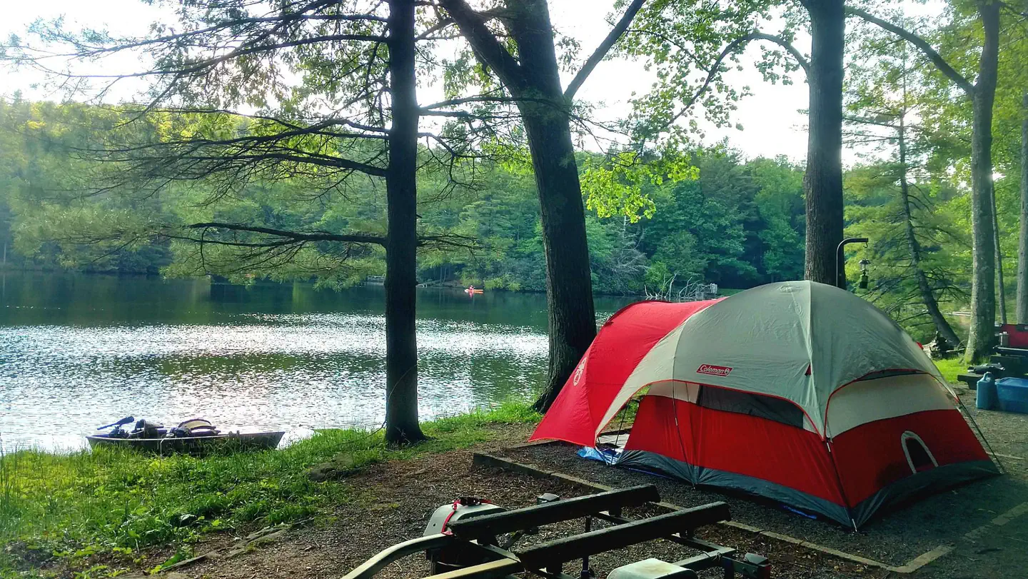
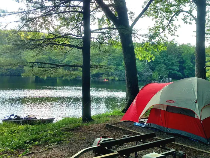
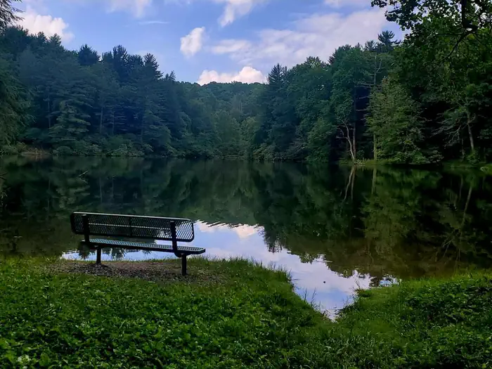
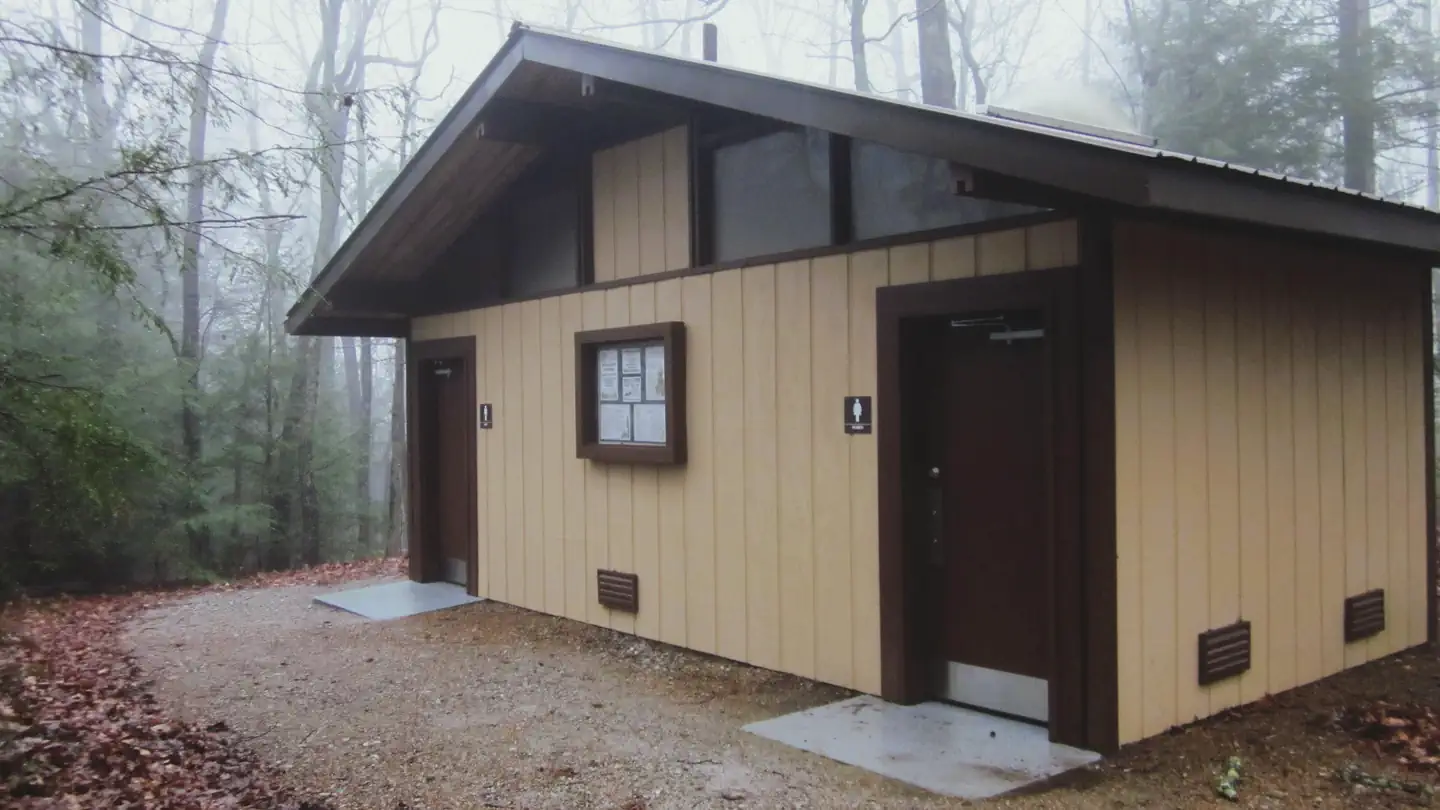
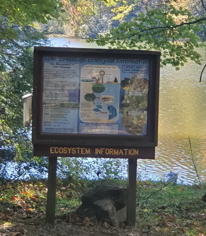
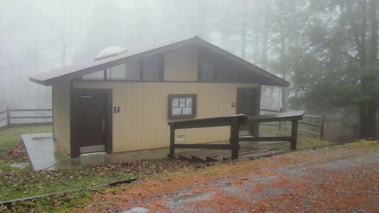
Overview The Lake Conasauga Recreation Area is a remote recreation area located within the Chattahoochee National Forest in northwest Georgia. Getting to Lake Conasauga involves a beautiful forested drive along 15 or more miles of graveled mountain roads through the Cohutta Mountains. Visitors may occasionally see bear, deer, and turkeys on their drive. Wildflowers can be found blooming from February through November in various parts of the mountains. Completed in 1940, Lake Conasauga was built by the Civilian Conservation Corps (CCC) under the guidance of the U.S. Forest Service. Tucked between Grassy Mountain and Little Bald Mountain, the 17 acre lake sits at an elevation of 3,150 feet, making it the highest elevation lake in the State of Georgia. At this elevation, air temperatures at Lake Conasauga are usually 10-15 degrees cooler than the surrounding valleys, allowing for a comfortable camping experience even in the middle of summer. Outdoor activities at the Lake Conasauga Recreation Area include camping, hiking, boating, fishing, picnicking, and swimming. Recreation A swimming and picnic area with a picnic shelter is located across the lake opposite the campground. A swimming dock is provided for visitors to take a swim in the cold natural spring waters of Lake Conasauga. There is no lifeguard on duty, so please swim at your own risk. Hiking trails include the Lake Loop Trail (1 mile loop), the Songbird Trail (2.8 mile loop), and the Tower Trail (4 miles round trip). A small boat launch provides boating access for canoes, kayaks, and small boats (electric motors only). Fishermen may catch bass, bream, and even an occasional catfish. A fishing dock is provided. The Lake Loop Trail provides various locations along the shoreline for fishermen to cast. A Georgia fishing license is required for those 16 and older. Facilities The Lake Conasauga Campground is a 30 site campground with two camping loops. The Lower Loop is located within view of the lake. The Upper Loop is a forested loop above the lake. Each campsite has a gravel parking spur, a gravel tent pad, picnic table, lantern post, and a fire ring with a grill. There is a restroom with flush toilets located in both camping loops (no showers, no hot water). Water hydrants are located throughout the campground. There is no electricity at this campground. There is no dump station at this campground. Cell phone service is very limited. A cabin for the campground host is located in the campground. This cabin is a private residence for the host and is not an office or a store. Please respect their space and privacy. Driving on steep, narrow, winding, mountain roads is required to get to this campground. Tents, pop-up campers, and travel trailers under 25 feet are recommended for this campground due to access and campsite size limitations. GPS is not recommended for navigating to this area as satellite service is regularly interrupted by mountains and trees. Natural Features Surrounded by forested mountains, Lake Conasauga is a 17 acre man-made lake located near the summit of Grassy Mountain in northwest Georgia. It is the highest elevation lake in Georgia, sitting at an elevation of 3,150 feet. No matter the route taken to get to Lake Conasauga, visitors will pass mountain streams, overlooks, and beautiful scenery. The Songbird Management Area is located within the Lake Conasauga Recreation Area. Centered around a large beaver pond, the Songbird Management Area provides a peaceful interpretive nature hike. Many bird species and wildflowers can be found along the interpretive nature hike in this area. Adjacent to the Lake Conasauga Recreation area is the 45,000 acre Cohutta/Big Frog Wilderness (the largest designated wilderness area east of the Mississippi River.). The Cohutta Wilderness contains 91 miles of arduous backpacking trails. Nearby Attractions Barnes Creek Picnic Area: This small picnic area was historically used as a rock quarry by the Civilian Conservation Corps and U.S. Forest Service in the 1930s. The picnic tables sit near the base of a waterfall. A short trail from the parking area leads to an observation deck above the waterfall. Turn left out of the Lake Conasauga Campground and follow Forest Road 68 for 4.5 miles. Turn right and continue following Forest Road 68 for another 2.5 miles. Gennett Poplar: The Gennett Poplar is the second largest tree in the state of Georgia with a circumference of 18 feet. This tree was left by the Conasauga River Lumber Company as a tribute to the size of the trees that once inhabited the Appalachian Mountains. Turn left out of the Lake Conasauga Campground and follow Forest Road 68 for 4.5 miles. Turn right and continue following Forest Road 68 for 3.5 miles and turn left onto Forest Road 90. Follow Forest Road 90 for 2 miles and turn left onto Forest Road 241. Follow Forest Road 241 for 2 miles until it dead ends. Follow the trail upstream for 3/4 mile.
From the managing agency.
Is Lake Conasauga Campground free?
No. Lake Conasauga Campground charges a fee.
How do I get to Lake Conasauga Campground?
Lake Conasauga Campground is at 34.8608, -84.6498. We do not hold written directions for this one, so navigate to the coordinates.
Nearby
- Ball Field Camping Area0.5 mi
- Lake Conasauga Overflow Campground0.6 mi
- Jacks River Fields Campground7.4 mi
- Jacks River Fields Campground7.4 mi
- Jack's River Fields Campground7.5 mi
- Cottonwood Patch Campground8.3 mi
- Cottonwood Patch Campground8.3 mi
- Woodring Branch Primitive Campground16.3 mi
- North River Checking Station43.1 mi
SourceSource data is agency published. Last synced September 19, 2026. Community reports and photos are submitted by travelers and are not verified by the agency.
