
DAMSITE DAY USE AREA SHELTER
Campground · Fee not listed
Fast facts
- Cost
- Not listed. Check locally.
- Type
- Campground
- Phone
- 706-334-2248
- Nearest dump station
- North River Checking Station · 57.5 mi
- Coordinates
- 34.6029, -84.6539
- Last verified
- September 19, 2026
About this place
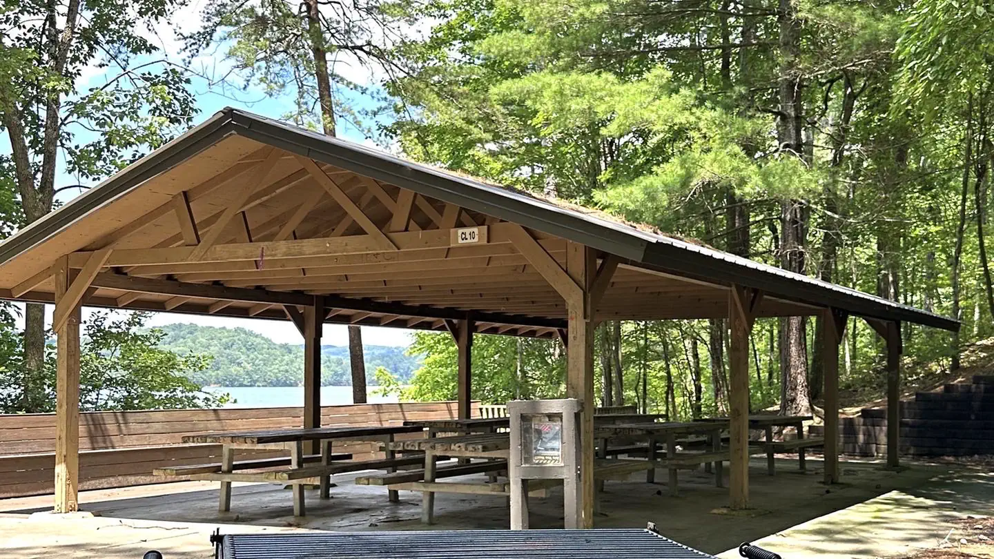
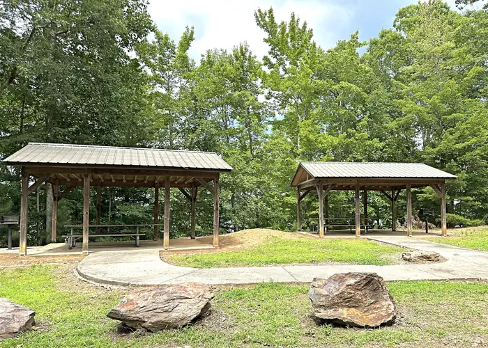
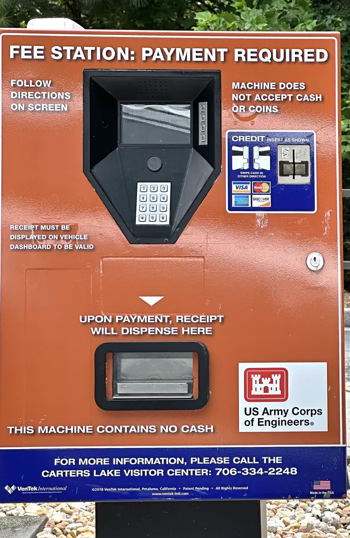
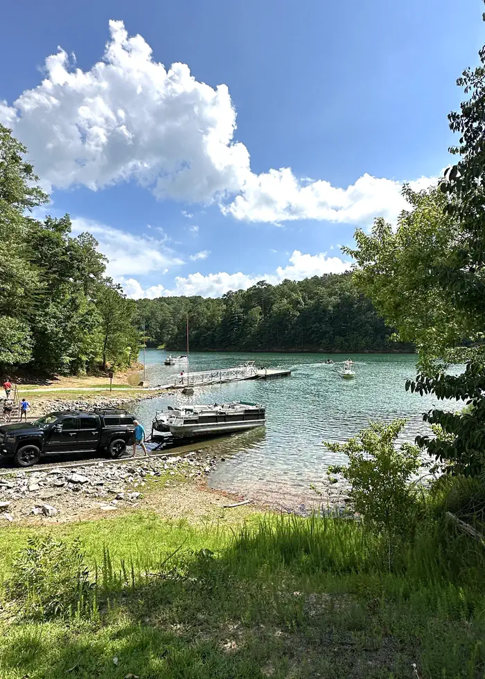
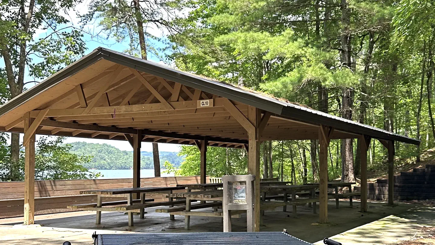
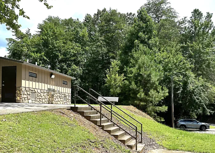
Overview Damsite Day Use Area is located on Carters Lake in the North Georgia Mountains about 70 miles north of Atlanta. The sparkling waters and rugged shoreline provide a beautiful surrounding for a variety of outdoor recreational opportunities including camping, hiking, boating, wildlife viewing, fishing, and picnicking. Recreation Boaters visit Carters Lake to enjoy its solitude and scenic beauty. Whether in a powerboat or sailboat on the open water or paddling along the shoreline in a canoe, Carters Lake offers enjoyable boating experiences for everyone. Fishing is a popular activity on the lake. Major species include bass (largemouth, smallmouth, hybrid, striped and spotted) crappie, walleye, bream and catfish. Facilities Damsite Day Use Area provides boaters with a launch ramp with three lanes and courtesy dock. The area also provides ample picnic sites and restrooms. Shelter (CL-10) seating capacity is 30 people maximum. All picnic tables/sheds/shelter are FIRST COME, FIRST SERVED. No reservations are necessary. All vehicles must pay a $5.00 day use pass (Card only, no cash). Natural Features Carters Lake embraces a spectacular tract of foothills scenery in the Blue Ridge Mountains of North Georgia. It covers 3,200 surface water acres and has 62 miles of undeveloped shoreline. Nearby Attractions The City of Ellijay is approximately 30 minutes away, offering restaurants, grocery stores, fuel, along with other amenities. Of special note, Ellijay is known as the Apple Capital of Georgia and has several apple houses/orchards as well as a scenic downtown area with mulitiple shops in the square.
From the managing agency.
Is DAMSITE DAY USE AREA SHELTER free?
We do not have a fee on record for DAMSITE DAY USE AREA SHELTER. Confirm the cost locally before you go.
How do I get to DAMSITE DAY USE AREA SHELTER?
DAMSITE DAY USE AREA SHELTER is at 34.6029, -84.6539. We do not hold written directions for this one, so navigate to the coordinates.
Nearby
- NORTHBANK DAY USE AREA SHELTER0.6 mi
- Woodring Campground (GA)1.2 mi
- WOODRING DAY USE AREA SHELTER1.3 mi
- Woodring Branch Primitive Campground1.7 mi
- DOLL MOUNTAIN CAMPGROUND1.9 mi
- REREG DAM DAY USE AREA SHELTER2.3 mi
- DOLL MOUNTAIN DAY USE AREA SHELTER2.4 mi
- Ball Field Camping Area17.3 mi
- North River Checking Station57.5 mi
SourceSource data is agency published. Last synced September 19, 2026. Community reports and photos are submitted by travelers and are not verified by the agency.
