
Fort Dupont Park Picnic Areas
Campground · Fee
Fast facts
- Cost
- Fee charged
- Type
- Campground
- Phone
- 202-690-5152
- Coordinates
- 38.8628, -76.9700
- Last verified
- September 19, 2026





About this place
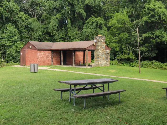
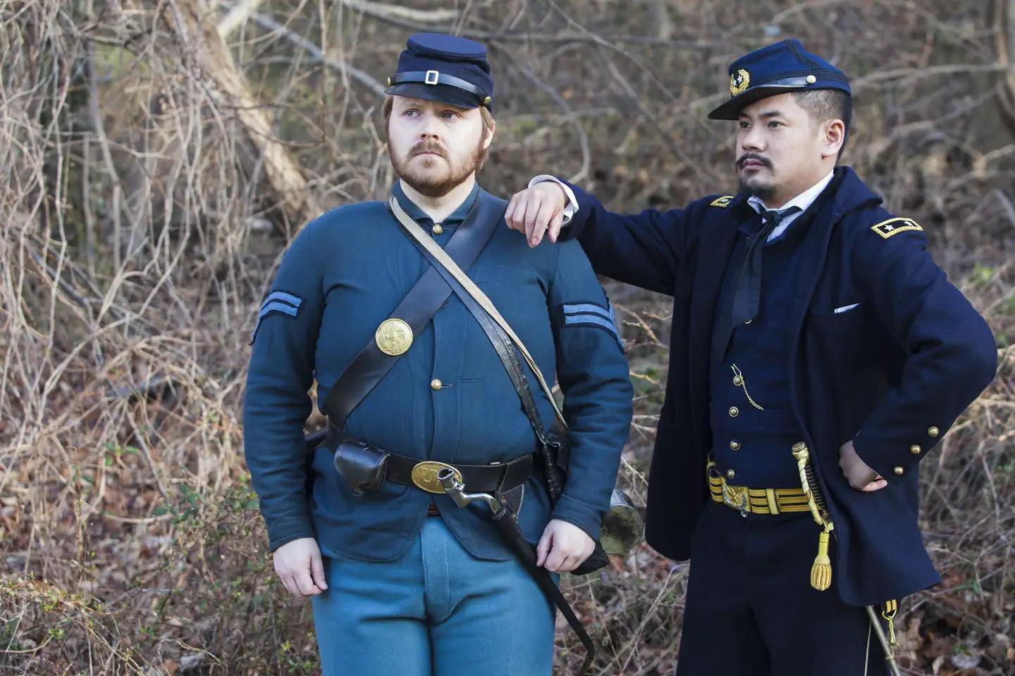
Overview Fort Dupont Park has three picnic areas that groups may reserve from spring to fall each year. There are also picnic areas available on first-come, first-served (no reservation required). Recreation The varied seasonal activities at this spacious area east of the Anacostia River include: picnic areas, hiking trails, Civil War programs, gardening, environmental education, concerts and special events, mountain biking and youth programs. Visit Fort Dupont's Things to Do web page. Facilities The three reservable picnic areas at Fort Dupont are:: Picnic areas A and B at Randle Circle. Both of these offer picnic tables, a grill and a nearby restroom building and playground. Electricity is not available on site. These areas have street parking but there is also a larger parking lot less than 1/4 mile from the picnic area. This site is also close to several park nature trails and the Fort Dupont Activity Center that has exhibits and other information about the park. No other amenities are available. The Historic Earthwork (Lanham Estates) picnic area on Alabama Avenue . This area offers a picnic shelter, tables, grill and a fireplace. Electricity is not available on site. This site also has an adjacent parking lot with open space nearby for playing games but there are no formal ball fields. This is also in the historic area of the park that contains the earthwork remnants of Fort Dupont and interpretive signage that give the history of the fort. This picnic area also offers access to the seven-mile Fort Circle Parks Hiker-Biker Trail, a seven mile trail that connects multiple fort sites in southeast Washington, D.C.. Natural Features Fort Dupont Park has 376 rolling wooded acres (152 ha), and is one of the largest parks in Washington D.C. Oak, beech and maple trees cover the hillsides. There is also a large area of mountain laurel that blooms in the spring each year. Contact Info For facility specific information, please call (771) 241-6891. Nearby Attractions Visitors may also enjoy: Frederick Douglass National Historic Site Smithsonian Anacostia Community Museum Anacostia Park and the Anacostia Riverwalk Trail Kenilworth Park and Aquatic Gardens Fort Circle Parks Hiker-Biker Trail, a seven mile trail that connects multiple fort sites from the Civil War Defenses of Washington in southeast Washington, D.C., is accessible from Fort Dupont's Lanham Estates picnic area. Charges & Cancellations Half day $65.00. Full day $130.00. No refund for cancellation.
From the managing agency.
Is Fort Dupont Park Picnic Areas free?
No. Fort Dupont Park Picnic Areas charges a fee.
How do I get to Fort Dupont Park Picnic Areas?
Fort Dupont Park Picnic Areas is at 38.8628, -76.9700. We do not hold written directions for this one, so navigate to the coordinates.
Nearby
- Rock Creek Park Group Picnic Areas (DC)8.1 mi
- Greenbelt Park Campground8.9 mi
- Greenbelt Park Ranger Station8.9 mi
- GREENBELT CAMPGROUND9.3 mi
- GREENBELT PARK PICNIC AREAS9.3 mi
- Fort Washington Park Day Use Facilities11.0 mi
- Fort Hunt Picnic Areas11.2 mi
- Carderock Recreation Area Pavilion14.5 mi
No other services within 50 mi on the record.
SourceSource data is agency published. Last synced September 19, 2026. Community reports and photos are submitted by travelers and are not verified by the agency.
