
STEVENS CREEK CAMPGROUND
Campground · Fee not listed
Fast facts
- Cost
- Not listed. Check locally.
- Type
- Campground
- Phone
- 970-641-2337
- Nearest dump station
- Taylor Lagoons Dump Station · 39.0 mi
- Coordinates
- 38.4911, -107.0969
- Last verified
- September 19, 2026



About this place
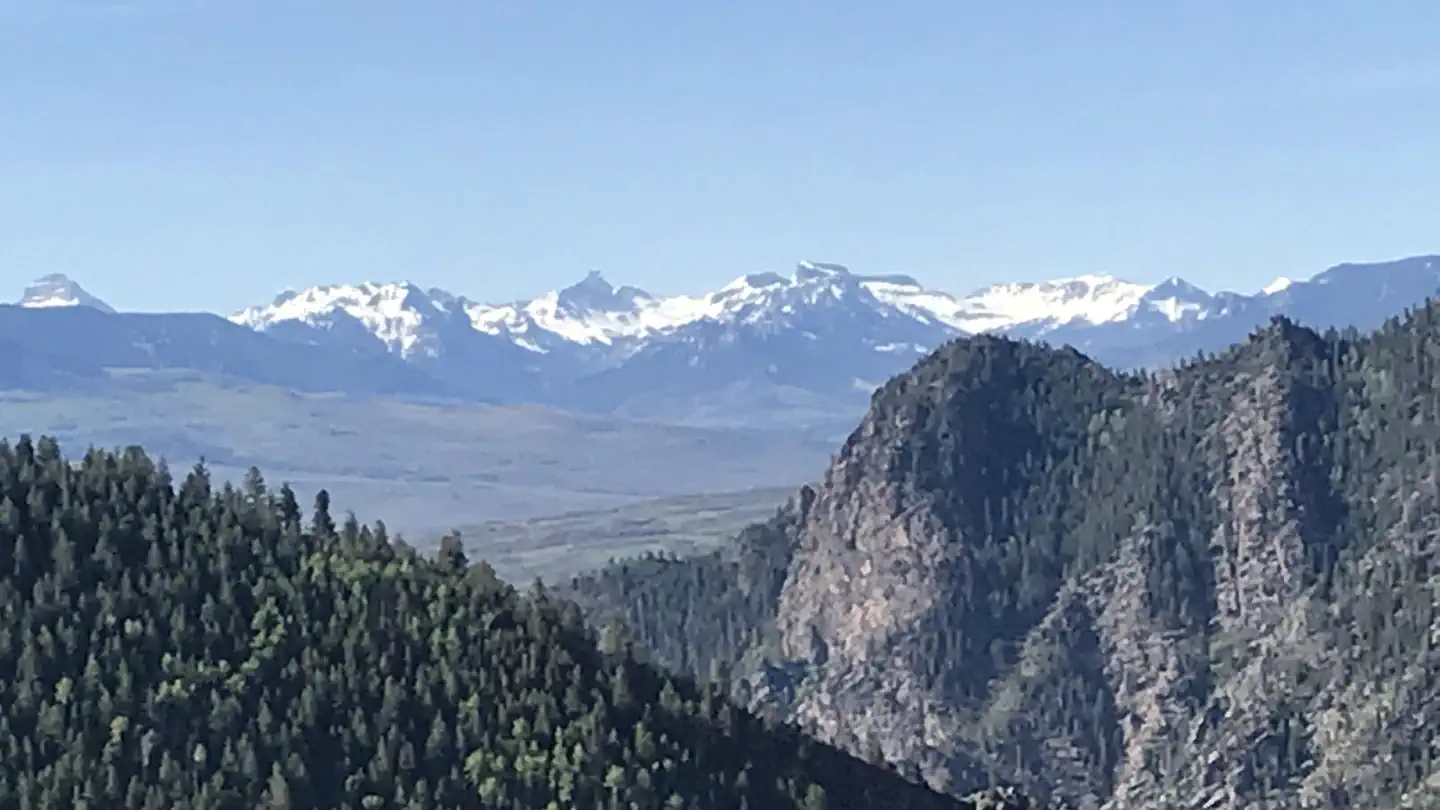
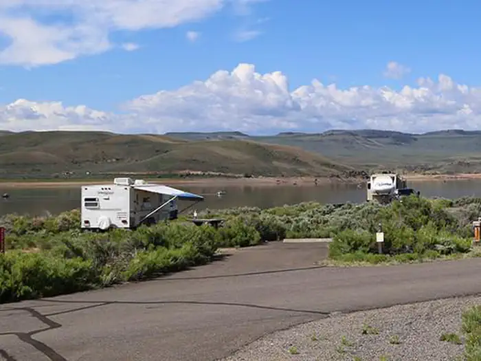
Overview Stevens Creek Campground lies on the north shore at the eastern end of Blue Mesa Reservoir. This is the closest campground to the town of Gunnison, CO. Popular with boaters, Stevens Creek has easy access to the reservoir. It is very sunny and bright, and the scent of sagebrush adds to the camping experience. A bit downstream is the Morrow Point Reservoir and the Crystal Reservoir, both surrounded by the steep cliffs of the Black Canyon. Recreation Stand up paddleboarding, fishing, canoeing and other water sports are popular here. Bird Watching is rewarding throughout the park but especially so in this shallower end of the reservoir which is ideal for waterfowl. Hikers, try the 1.5 mile (2.4) Neversink Trail, which meanders along the Gunnison River upstream of Blue Mesa Reservoir. Check the park's Hiking web page for more information. Facilities The 53-site campground offers waterfront-sites and a wide variety of amenities including a picnic area, self pay station and drinking water available late-May to mid-September. Natural Features The campground sits at an elevation of 7,540 feet (2298 m) and is characterized by a semi-arid, treeless shrubland. The mesa landscape is covered with sagebrush and receives less than 12 inches (30 cm) of rain each year. Nearby Attractions Head into Gunnison for a meal, a bit of shopping, or a visit to the local park or museum. Gunnison is known for its western ambiance and small town friendliness. Mountain biking and hiking can be found at Hartman Rocks Trail just south of Gunnison. Charges & Cancellations This is a Scan and Pay campground. There are no refunds,changes, cancellations, or other fee changes allowed with Scan and Pay payments. This system is the same as putting cash into a fee tube and cannot be refunded.
From the managing agency.
Is STEVENS CREEK CAMPGROUND free?
We do not have a fee on record for STEVENS CREEK CAMPGROUND. Confirm the cost locally before you go.
How do I get to STEVENS CREEK CAMPGROUND?
STEVENS CREEK CAMPGROUND is at 38.4911, -107.0969. We do not hold written directions for this one, so navigate to the coordinates.
Nearby
SourceSource data is agency published. Last synced September 19, 2026. Community reports and photos are submitted by travelers and are not verified by the agency.
