
St. Louis Creek
Campground · Fee not listed
Fast facts
- Cost
- Not listed. Check locally.
- Type
- Campground
- Phone
- 530-529-0578
- Nearest dump station
- Rocky Mountain National Park Dump Station · 32.8 mi
- Coordinates
- 39.9286, -105.8585
- Last verified
- September 19, 2026
About this place
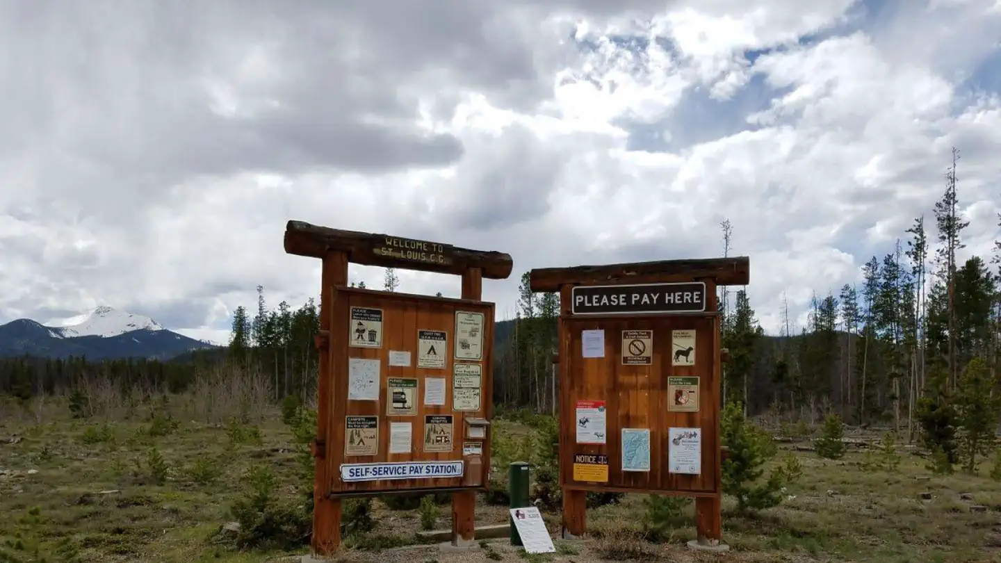
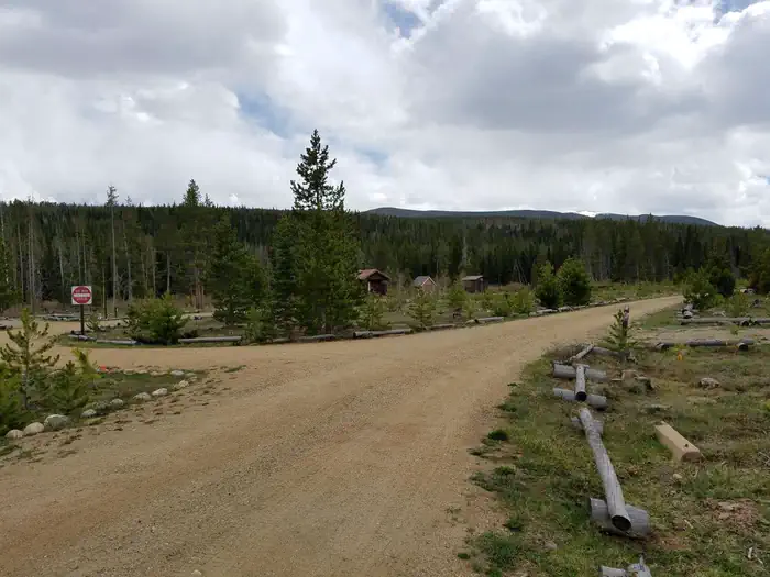
Overview St. Louis Creek Campground is located at 8,900' near the Fraser Experimental Forest, four miles southwest of the Town of Fraser, CO. Visitors to the area enjoy hiking, biking, and fishing, as well as easy access to the town of Fraser. This campground provides a rustic camping experience with access to standard amenities. Recreation Hiking, biking, fishing and wildlife viewing are all accessible near the campground. Facilities St. Louis Creek Campground provides 18 non-electric single-party units with picnic tables, metal fire rings and bear-resistant food storage lockers. Vault toilets, trash service and drinking water are available to campground guests. A campground host is on site. Natural Features Located near the Fraser Experimental Forest, a 23,500 acre outdoor research area with elevations ranging from 8,800'-12,000', St Louis Creek Campground provides access the rugged Vasquez and Byers Peak Wilderness Areas. Nearby trailheads include Byers Peak Trailhead and St. Louis Lake Trailhead. Afternoon thunderstorms can be expected during spring and summer months. Nearby Attractions Grocery shopping and restaurants are available in Fraser, Winter Park, and Granby. The Arapaho National Recreation Area and western portal of Rocky Mountain National Park are within an hour's drive. Charges & Cancellations Modifications for this campground must be made through Recreation.gov or by calling the call center at 1-877-444-6777 PRIOR to your reservation start date. Customers and contact center agents cannot modify reservations on or after the check-in date.
From the managing agency.
Is St. Louis Creek free?
We do not have a fee on record for St. Louis Creek. Confirm the cost locally before you go.
How do I get to St. Louis Creek?
St. Louis Creek is at 39.9286, -105.8585. We do not hold written directions for this one, so navigate to the coordinates.
Nearby
SourceSource data is agency published. Last synced September 19, 2026. Community reports and photos are submitted by travelers and are not verified by the agency.
