
South Fork Group Site - Arapaho NF (CO)
Campground · Fee not listed
Fast facts
- Cost
- Not listed. Check locally.
- Type
- Campground
- Nearest dump station
- Rocky Mountain National Park Dump Station · 45.3 mi
- Coordinates
- 39.7941, -106.0306
- Last verified
- September 19, 2026
About this place
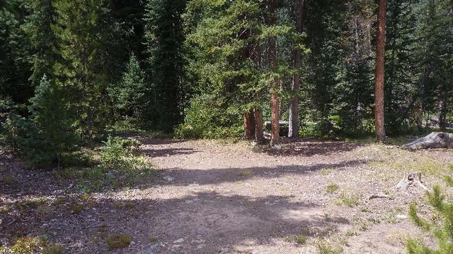
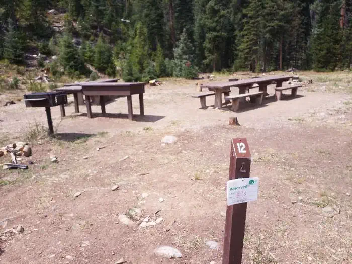
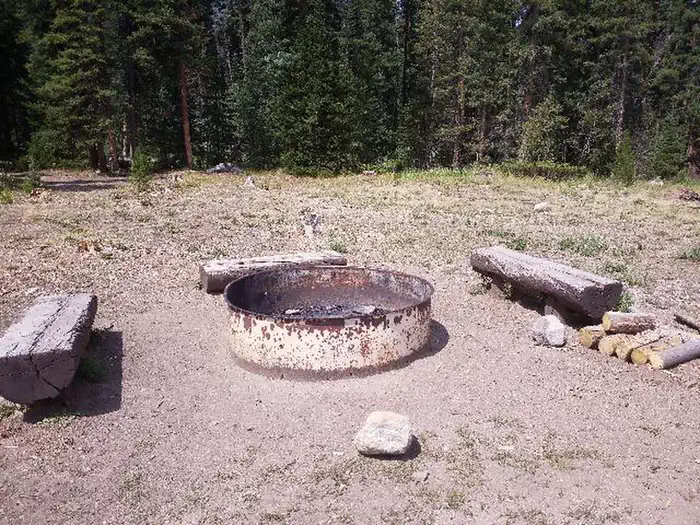
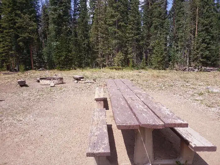
Overview South Fork Group Campground is located in north central Colorado in the Williams Fork Valley next to South Fork Creek. Many mountain streams and creeks nearby offer good fishing opportunities. South Fork is the only facility in the area designated for horse camping. Recreation The South Fork Trail begins at the campground and is one of the most popular trails in the valley. The 26-mile loop trail is open to hiking and horseback riding, and provides access to other trails in the area, including Ptarmigan Pass, Ute Peak and Jones Pass Trails. Mountain biking opportunities also exist in the valley. The Byers Peak Wilderness can be accessed nearby. Anglers enjoy trout fishing on the South Fork Creek and numerous additional streams and creeks in the surrounding area. Wildlife viewing opportunities abound. Facilities The campground offers one reservable, accessible group site that can accommodate up to 25 people. Individual sites are available on a first-come, first-served basis. Picnic tables, campfire rings and tents pads are provided, as are flush and pit toilets and drinking water. A small corral, for one or two horses, is located in the campground. Natural Features The campground is located in the Williams Fork Valley next to South Fork Creek at an elevation of 8,962 feet. A cool mountain climate with frequent afternoon thunderstorms should be expected. Due to the pine beetle infestation and hazardous tree removal, shade has been reduced throughout the campground. The Arapaho and Roosevelt National Forests and Pawnee National Grassland sit on the foothills and peaks of the Rocky Mountains in Colorado. The forests and grassland cover 1.5 million acres and extend north to the Wyoming border, south to Mount Evans and west across the Continental Divide. Charges & Cancellations Modifications for this campground must be made through Recreation.gov or by calling the call center at 1-877-444-6777 PRIOR to your reservation start date. Customers and contact center agents cannot modify reservations on or after the check-in date.
From the managing agency.
Is this site free?
We do not have a fee on record for this site. Confirm the cost locally before you go.
How do I get to this site?
this site is at 39.7941, -106.0306. We do not hold written directions for this one, so navigate to the coordinates.
Nearby
SourceSource data is agency published. Last synced September 19, 2026. Community reports and photos are submitted by travelers and are not verified by the agency.
