
NARROWS (CO)
Campground · Fee not listed
Fast facts
- Cost
- Not listed. Check locally.
- Type
- Campground
- Phone
- 970-295-6700
- Nearest dump station
- Rocky Mountain National Park Dump Station · 24.4 mi
- Coordinates
- 40.6913, -105.4321
- Last verified
- September 19, 2026



About this place
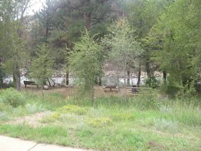
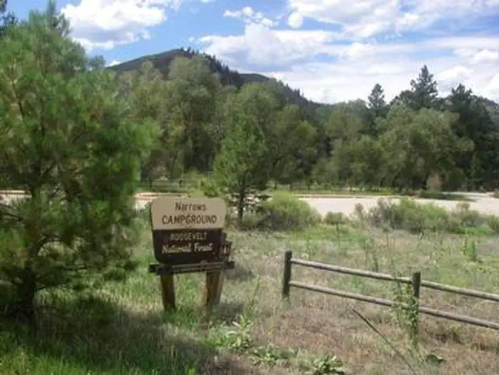
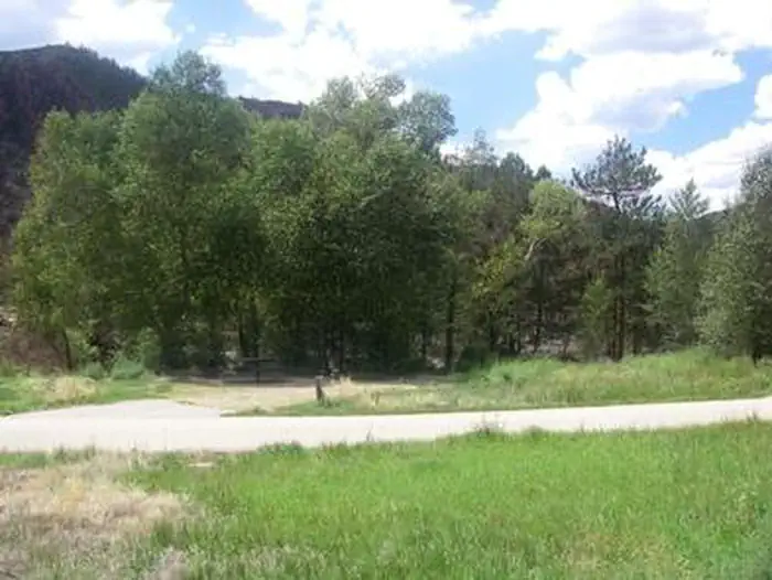
Overview Narrows Campground is located on the Cache la Poudre River, 32 miles northwest of Fort Collins, Colorado, along Highway 14. Visitors enjoy the area for its great rafting, fishing and hiking opportunities. Recreation The Cache la Poudre River offers whitewater rafting and fishing. Anglers cast for brown, cutthroat and rainbow trout. Hiking, biking and horseback riding trails are in the surrounding area, including the Mt. McConnel Trail, William R. Kreutzer National Recreation Trail and Young Gulch Trail. Other popular activities include birding and wildlife viewing. Facilities The campground offers accessible single-family sites, including eight walk-to tent sites. Each site is equipped with a 12x15' tent pad, a picnic table and a campfire ring with grill. Vault toilets and drinking water are provided. Dead and downed firewood may be gathered in the forest or purchased from the host. Natural Features The canyon's vegetation varies from dense forests to open meadows, surrounded by steep mountains. The campground is situated among ponderosa pine and aspen trees on the banks of the Cache la Poudre River, Colorado's first National Wild and Scenic River. The lower loop drops off steeply to the river. Contact Info For facility specific information, please call (530) 529-0578. Charges & Cancellations Modifications for this campground must be made through Recreation.gov or by calling the call center at 1-877-444-6777 PRIOR to your reservation start date. Customers and contact center agents cannot modify reservations on or after the check-in date.
From the managing agency.
Is NARROWS (CO) free?
We do not have a fee on record for NARROWS (CO). Confirm the cost locally before you go.
How do I get to NARROWS (CO)?
NARROWS (CO) is at 40.6913, -105.4321. We do not hold written directions for this one, so navigate to the coordinates.
Nearby
SourceSource data is agency published. Last synced September 19, 2026. Community reports and photos are submitted by travelers and are not verified by the agency.
