
Duncan Cabin
Campground · Fee not listed
Fast facts
- Cost
- Not listed. Check locally.
- Type
- Campground
- Phone
- (719) 655 - 2547
- Nearest dump station
- Taylor Lagoons Dump Station · 80.5 mi
- Coordinates
- 37.8741, -105.6144
- Last verified
- September 19, 2026
About this place
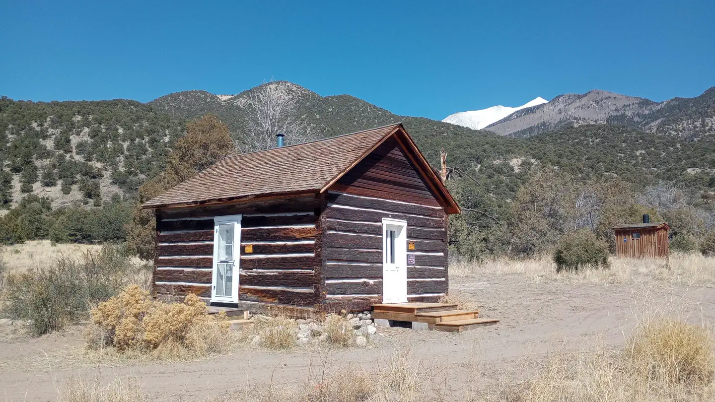
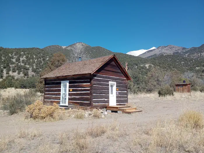
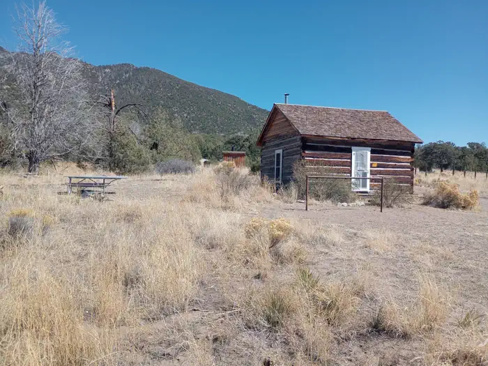
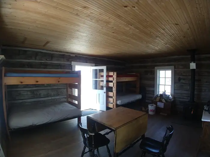
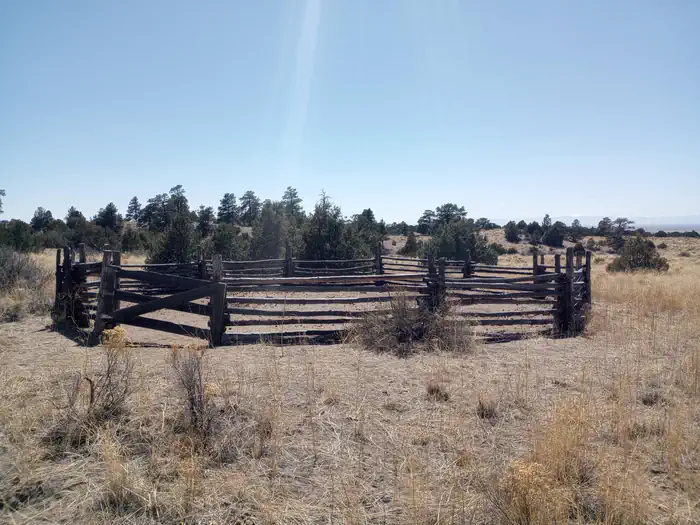
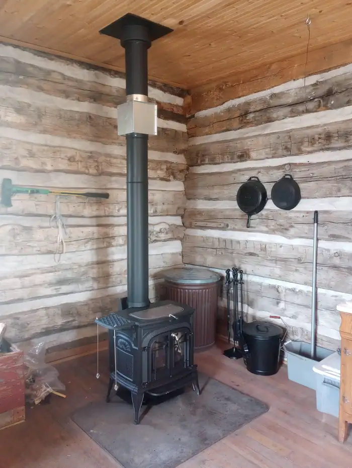
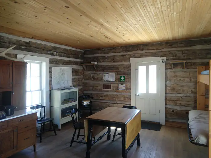
Overview The cabin was constructed in the 1880s. The cabin sits 8,120 feet above sea level beside a small dry stream‐bed. The nearest source of water is Pole Creek which is approximately 1,500 feet from the cabin. The cabin sits on a west‐facing gently sloping grade that looks out onto the San Luis Valley. Although large coniferous trees are located near the cabin, the vegetation is primarily Rabbitbrush, Pinon, and Juniper. Recreation The cabin is a good base camp for horse riding. It does have a corral close to the cabin. It is a good place for hunting, hiking and watching the night sky. It is close to the Great Sand Dunes National Park that is designated as an international Dark Sky Park. Facilities The one-room cabin is furnished with two bunk beds (the top bunk is a single bed, the bottom is a fold-out futon couch that sleeps two) and can accommodate up to 6 people. The cabin has a wood stove, a table and chairs, cooking utensils and some pots and pans. A picnic table, fire pit and an outdoor vault toilet are also on site. There is no electricity and water at the cabin. Water is also available at the Saguache Ranger District Office during business hours from May through November. Natural Features This area also provides habitats for large herds of elk, pronghorn and mule deer. It is also close to the Great Sand Dunes National Park. Nearby Attractions The Duncan cabin is located in the Rio Grande National Forest 11.8 miles southeast of Crestone, CO. There is a lot of hiking trails in this area. The Great Sand Dunes National Park is also close by.
From the managing agency.
Is Duncan Cabin free?
We do not have a fee on record for Duncan Cabin. Confirm the cost locally before you go.
How do I get to Duncan Cabin?
Duncan Cabin is at 37.8741, -105.6144. We do not hold written directions for this one, so navigate to the coordinates.
Nearby
- Backpacking Campsites in the Dunes or Forest8.0 mi
- Medano Pass Primitive Road Campsites8.1 mi
- North Crestone Creek Campground10.6 mi
- Pinon Flats Campground10.7 mi
- Piñon Flats Campground10.7 mi
- ALVARADO CAMPGROUND14.4 mi
- Zapata Falls Campground17.0 mi
- Zapata Falls Site 2517.8 mi
- Taylor Lagoons Dump Station80.5 mi
SourceSource data is agency published. Last synced September 19, 2026. Community reports and photos are submitted by travelers and are not verified by the agency.
